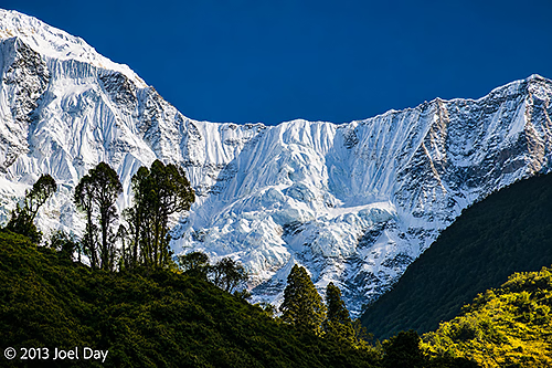
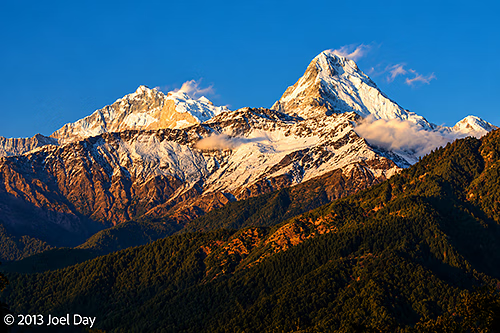
Snow-covered peaks and dramatic glacial slopes of the Annapurna massif, viewed along the trekking route between Jhinu Danda and Birethanti, Annapurna Conservation Area, Nepal
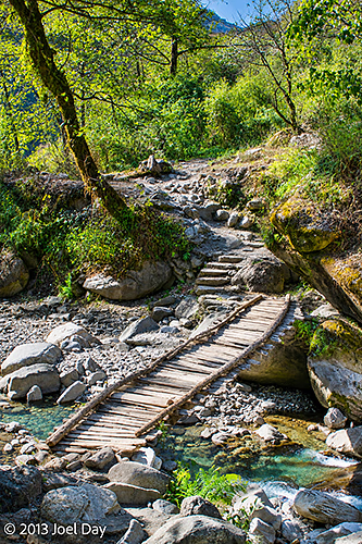
The final day of my Annapurna Trek was pretty straightforward. Up early for breakfast, down another steep staircase to the river to cross a bridge, back up the other side, rinse, and repeat.
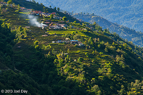
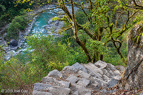
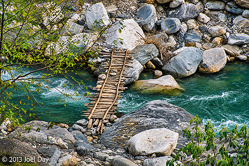
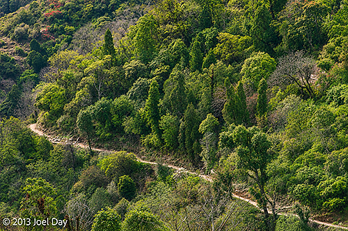
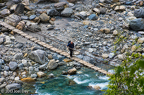
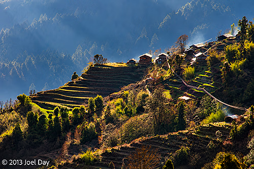
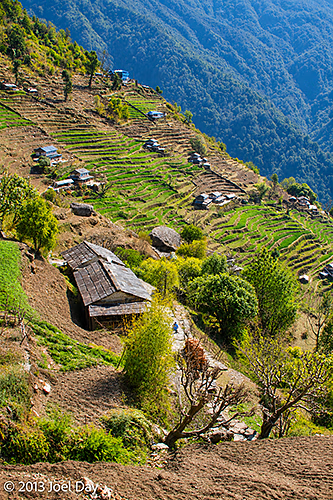
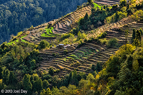
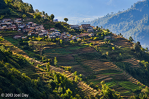
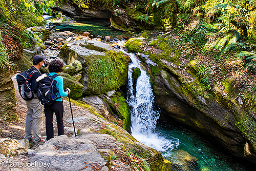
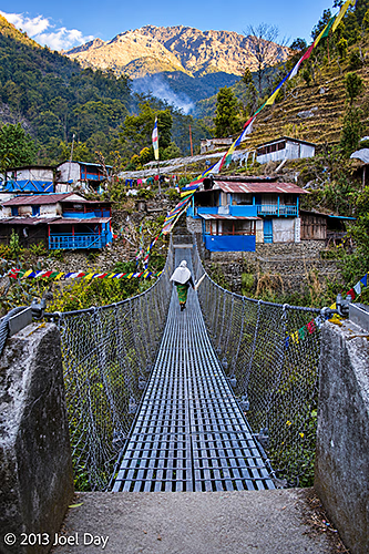
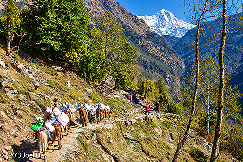
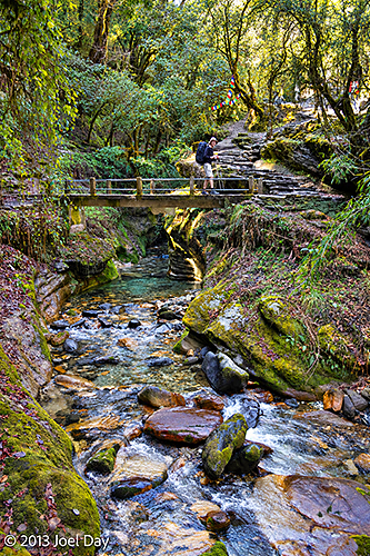
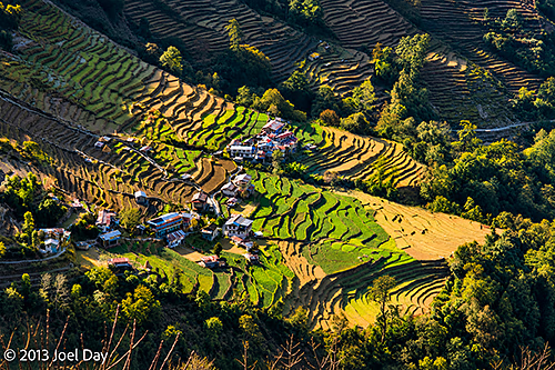
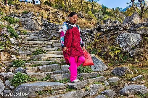
Traditional Nepalese hillside village surrounded by extensive terraced agricultural fields, illuminated by afternoon sunlight along the trekking route between Jhinu Danda and Birethanti, Annapurna Conservation Area, NepalSteep stone steps descending through lush Himalayan forest towards a turquoise mountain river, along the trekking route between Jhinu Danda and Birethanti, Annapurna Conservation Area, NepalTraditional wooden footbridge spanning a fast-flowing turquoise mountain stream, surrounded by large river boulders, along the trekking route between Jhinu Danda and Birethanti, Annapurna Conservation Area, NepalMountain trekking trail winding through lush subtropical forest on the steep Himalayan hillsides between Jhinu Danda and Birethanti, Annapurna Conservation Area, NepalLocal pedestrian crossing a narrow suspension footbridge over a fast-flowing, boulder-strewn mountain river, along the trekking route between Jhinu Danda and Birethanti, Annapurna Conservation Area, Nepal
Eventually our track widened to a roadway where a half dozen 4wd vehicles hung around waiting for tired hikers to ferry out. We passed them and continued as the road gradually became one long decline back along the river to where we started 5 days ago.
Day 5 Hike of the Annapurna Circuit
Map of the route “Annapurna Trek Day 5: The Finish Line”: 20,178 m, 428 m of climbing and 1,028 m of descent, elevation between 1,105 m and 1,707 m, time 05:50:35. It starts at 28.41023, 83.82436 and ends at 28.30957, 83.77464 (latitude, longitude).
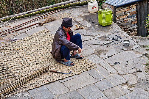
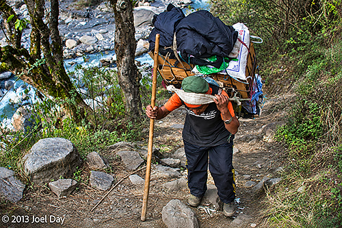
Overall, quite a spectacular hike. It was also very interesting to pass through all the villages and see how many Nepalese earn their keep.
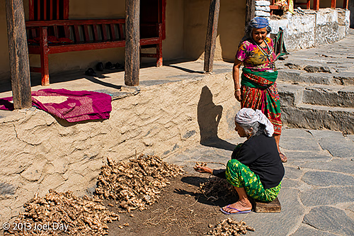
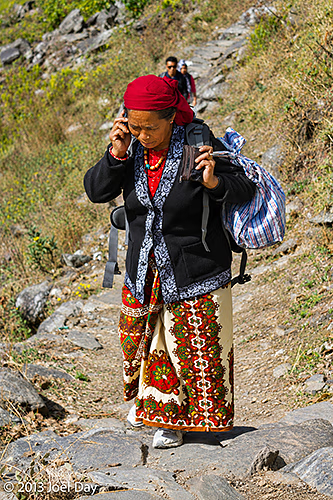
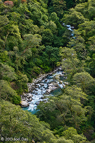
Two Nepalese women in colourful traditional clothing sorting and drying freshly harvested ginger outside a village house, along the trekking route between Jhinu Danda and Birethanti, Annapurna Conservation Area, NepalLocal Nepalese woman wearing colourful traditional clothing and carrying a large bundle along a steep stone trekking path while talking on mobile phone between Jhinu Danda and Birethanti, Annapurna Conservation Area, NepalLocal Nepalese craftsman weaving a traditional bamboo mat by hand in a stone-paved village courtyard, along the trekking route between Jhinu Danda and Birethanti, Annapurna Conservation Area, NepalTraditional wooden footbridge spanning a fast-flowing turquoise mountain stream, surrounded by large river boulders, along the trekking route between Jhinu Danda and Birethanti, Annapurna Conservation Area, NepalLocal Nepalese porter carrying a heavily laden traditional wicker basket (doko), supported by a forehead strap (namlo), along a steep, rocky mountain trail between Jhinu Danda and Birethanti, Annapurna Conservation Area, NepalMountain stream cascading through a densely forested valley in the Himalayan foothills, along the trekking route between Jhinu Danda and Birethanti, Annapurna Conservation Area, Nepal
One bit of irony: passing through countless villages that rely on spring water to drink and mules for deliveries, they always had power 24 hours a day, 7 days a week. Here in Pokhara, I’ve been back now for six hours and still have no power. It seems to be off more than it’s on. How do the villages get power?
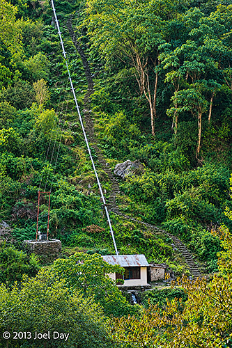
Small hydroelectric power station, possibly a micro-hydropower installation, with a steeply descending penstock on a forested hillside between Jhinu Danda and Birethanti, Annapurna Conservation Area, Nepal
They generate their own electricity through micro-hydroelectric generators that use channelled water from nearby streams. We passed quite a few of them. Each required substantial work to set up and could power only about 40 homes, but they’re lucky to have power when they need it.
Now back in Pokhara, in my choice room with spectacular views, my legs are very sore and sick of stairs! I do have a bathtub which I should put to use.
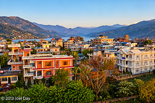
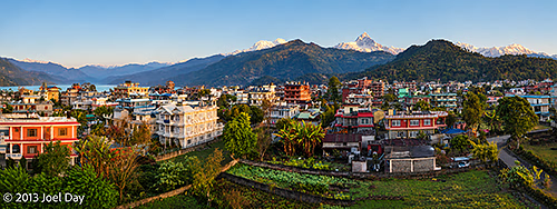
Early morning view across Pokhara, Nepal, showing colourful residential buildings, lush green gardens and surrounding forested hills, with the snow-capped Annapurna Himalaya visible in the distance
Full 5 Day Ghorepani & Poon Hill Annapurna Circuit Hike
Map of the route “Annapurna Trek Day 5: The Finish Line”: 88,324 m, 3,931 m of climbing and 3,881 m of descent, elevation between 1,026 m and 3,102 m, time 99:20:13. It starts at 28.29621, 83.76791 and ends at 28.30957, 83.77464 (latitude, longitude).
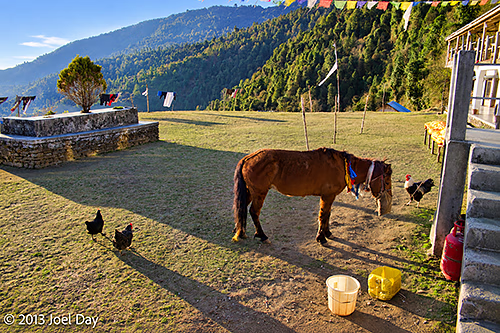
Early morning at a mountain guesthouse in Chuile, Annapurna region, Nepal, with a grazing horse and free-ranging chickens in the courtyard overlooking the forested Himalayan foothills
After a long recuperation, sleep in a below-average guest house… Well, it was okay except for all the guest signs and rules, including “do not put packs on beds.” Which begs the question: If their beds can’t handle my pack, how will they handle me? It was in a nice spot overlooking a big river valley and received some nice warm morning light. Hardly any other trekkers, save an Israeli couple. I asked for cornbread with my breakfast and got a huge fried pastry, like a papadon, made with corn and sprinkled with sugar, which was quite nice.
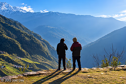
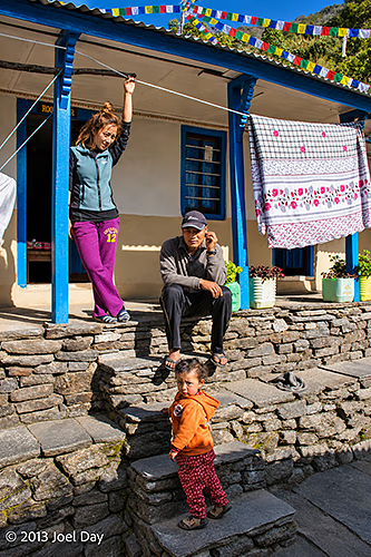
Local villagers enjoying the early morning panoramic views of the Himalayan foothills from a guesthouse in Chuile, Annapurna region, NepalLocal Nepalese family outside a traditional mountain guesthouse along the trekking route between Chuile and Jhinu Danda, Annapurna region, Nepal
From about 2/3 up the mountain, our trek led us straight down many switchbacks and stairs to a suspension bridge over a river, then back up the other side. Eventually we reached a stretch wiped out by a monsoon landslide four years ago, and we had to take a huge detour way up to a higher altitude than where we started.
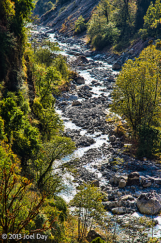
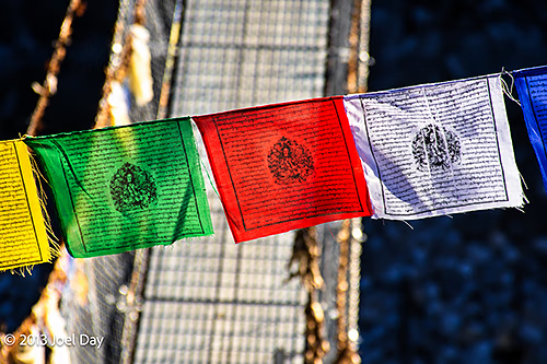
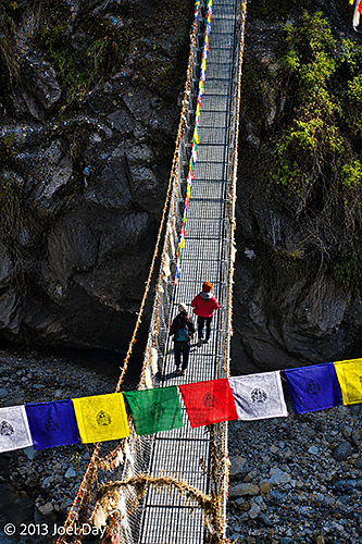
Rocky mountain stream flowing through a steep, forested valley along the trekking route between Chuile and Jhinu Danda, Annapurna region, NepalNarrow suspension bridge decorated with colourful Buddhist prayer flags over a steep, rocky gorge along the trail between Chuile and Jhinu Danda, Annapurna region, NepalTrekkers crossing a narrow suspension bridge decorated with colourful Buddhist prayer flags over a steep, rocky gorge along the trail between Chuile and Jhinu Danda, Annapurna region, Nepal
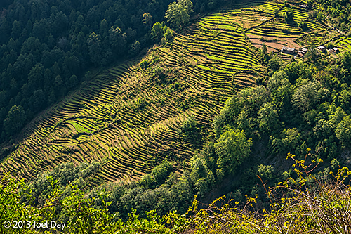
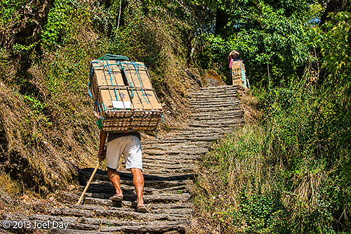
Along the way, we saw terraced farming plots of wheat and other crops, including some marijuana. It was amazing to think these people spent their days working their way up and down these huge mountainsides. We occasionally came across couriers with massive packs of fragile cargo on their backs, like eggs or bottled drinks, that couldn’t be trusted on a mule’s back.
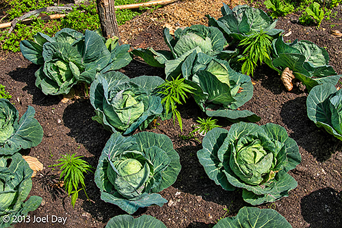
Traditional hillside village surrounded by terraced agricultural fields, overlooking a steep forested valley along the trekking route between Chuile and Jhinu Danda, Annapurna region, NepalTraditional hillside village surrounded by terraced agricultural fields, overlooking a steep forested valley along the trekking route between Chuile and Jhinu Danda, Annapurna region, NepalCabbages (Brassica oleracea var. capitata) intersperced with majiuana plants growing in a small vegetable garden along the trekking route between Chuile and Jhinu Danda, Annapurna region, NepalNepalese porter carrying a large stack of chicken eggs up steep stone steps along the trekking route between Chuile and Jhinu Danda, Annapurna region, Nepal.
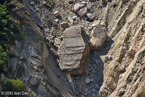
Several massive landslides in the area claimed many lives. One in particular left a huge rock, about the size of a four-story office building, lying halfway down the hill. There were many memorials next to the track for those villagers who died in the landslides.
Ginormous boulder deposited by a rockslide in a steep mountain ravine along the trekking route between Chuile and Jhinu Danda, Annapurna region, Nepal
Day 4 Hike of the Annapurna Circuit
Map of the route “Annapurna Trek Day 4: And more stairs!”: 11,342 m, 452 m of climbing and 953 m of descent, elevation between 1,808 m and 2,301 m, time 03:55:22. It starts at 28.40462, 83.77573 and ends at 28.40998, 83.82424 (latitude, longitude).
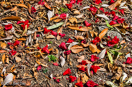
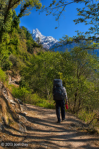
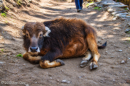
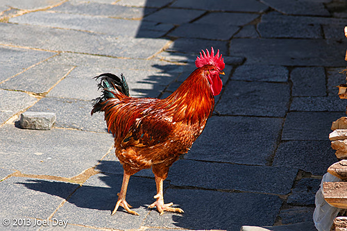
Fallen red rhododendron blossoms scattered among dry leaves on the forest floor along the trekking route between Chuile and Jhinu Danda, Annapurna region, NepalTrekker walking along a forested mountain trail with the distinctive snow-covered summit of Machhapuchhre (Fishtail Mountain, 6,993 m) rising in the distance, between Chuile and Jhinu Danda, Annapurna region, NepalYoung domestic yak-like bovine trail obstacle resting on a mountain trekking trail between Chuile and Jhinu Danda, Annapurna region, NepalTraditional hillside village surrounded by terraced agricultural fields, overlooking a steep forested valley along the trekking route between Chuile and Jhinu Danda, Annapurna region, NepalColourful domestic rooster (Gallus gallus domesticus) standing on a stone-paved courtyard in a mountain village along the trekking route between Chuile and Jhinu Danda, Annapurna region, Nepal
We arrived at another wonderful guesthouse around noon with amazing views of snowy peaks and deep river valleys. Plus, my room had an attached bathroom, a big bed, and private mountaintop views. Probably the nicest guesthouse yet. And it was just a 20-minute walk from some wonderful hot spring pools. It’s about 1800m above sea level.
Hot Springs Hike
Map of the route “Annapurna Trek Day 4: And more stairs!”: 874 m, 1 m of climbing and 162 m of descent, elevation between 1,641 m and 1,794 m, time 00:19:20. It starts at 28.40998, 83.82462 and ends at 28.41552, 83.82925 (latitude, longitude).
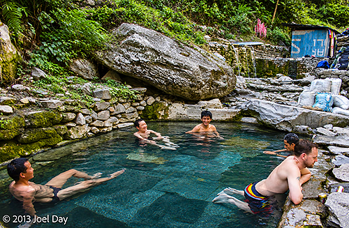
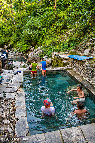
My legs have become very stiff and sore, and my feet have finally bubbled up a few blisters from all the steep stair climbing and descents, and the hot springs sounded like just the ticket to treatment. Unfortunately, they were straight down another long set of never-ending stairs to river level. We spent about an hour soaking, and my legs felt much better in the end. The pools were man-made along a beautiful, ice-cold snowmelt river. During the summer monsoon season, the flooded-out river destroys the baths, so they rebuild them every spring and collect a small entrance fee to finance the annual construction.
Trekkers relaxing in a natural hot spring pool at Jhinu Danda, Annapurna region, Nepal, surrounded by large boulders and lush mountain vegetationTrekkers relaxing in a natural hot spring pool at Jhinu Danda, Annapurna region, Nepal, surrounded by large boulders and lush mountain vegetation
The climb back up seemed a lot easier. Back at the guesthouse, the manager is a good friend of my guide from ten years ago, so they enjoy each other’s company. The manager is also one of the better cooks I’ve met on this trek, so I’m quite happy.
Fast-flowing waters of the Modi Khola River cascading over large boulders through a narrow, forested gorge near the Jhinu Danda Hot Springs, Annapurna region, Nepal
Tomorrow we finish our trek by following the beautiful, crystal-clear snowmelt river back to where we started, hopefully with minimal hills. I haven’t heard a car horn in 4 days, and I’m savouring the tranquillity before we get back to Pokhara and its traffic.
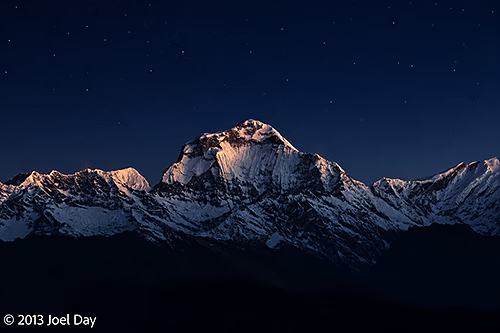
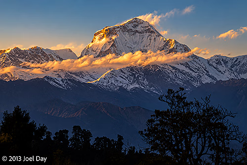
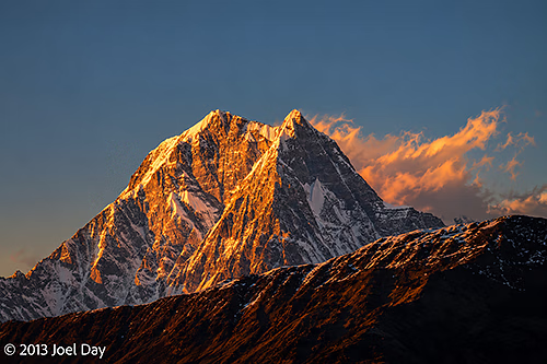
Dhaulagiri I (8,167 m), the world’s seventh-highest mountain, illuminated by moonlight before sunrise, viewed from Poon Hill, Gandaki Province, Nepal
My day started at 5 AM, or earlier, because I didn’t sleep well. Altitude? Waiting for my alarm to ring? Probably a combination of both. We started at 5 AM so we could reach Poon Hill before sunrise and see the spectacle of morning light on the Himalayas.
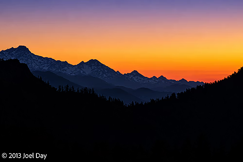
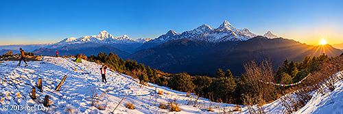
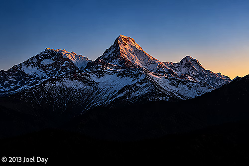
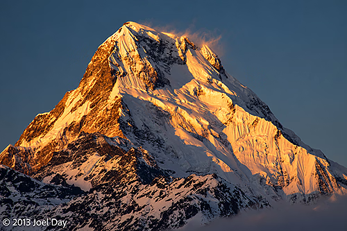
Pre-dawn Himalayan mountain silhouettes beneath a colourful sunrise sky, viewed from Poon Hill (3,210 m), Gandaki Province, NepalSunrise over the Annapurna Himalayas from Poon Hill (3,210 m), Gandaki Province, Nepal — featuring Annapurna I (8,091 m, world's 10th highest), Annapurna South (7,219 m) and Machapuchare (6,993 m), with Dhaulagiri I (8,167 m) in the distanceAnnapurna South (7,219 m), illuminated by the first light of dawn, viewed from Poon Hill (3,210 m), Gandaki Province, Nepal
Of course, everyone does this, so scores of trekkers were aiming for the same peak in ice-cold darkness. It snowed up here a week ago, maybe about a foot. The trails along the ridge overlooking the Annapurna Range were now sheets of ice from hikers and some daytime melting. Getting up Poon Hill was steep and slippery, but after sunrise we had to descend for breakfast and bags so we could continue along the circuit toward Annapurna Base Camp.
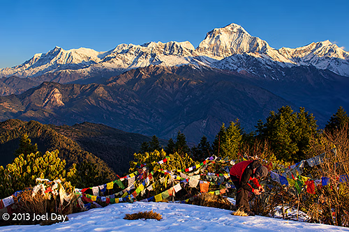
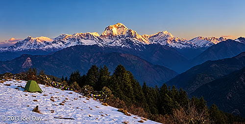
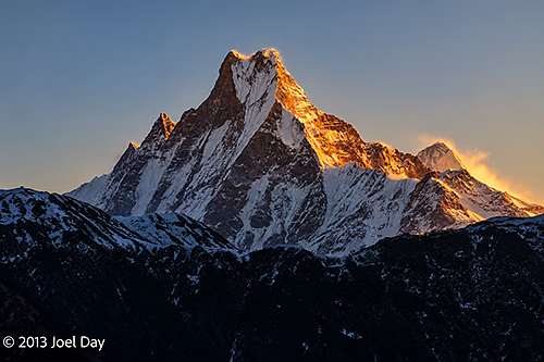
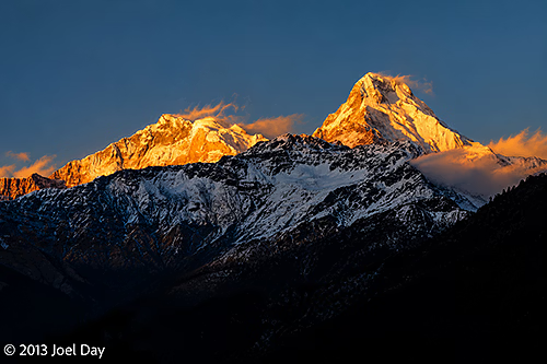
Dhaulagiri I (8,167 m), the world’s seventh-highest mountain, towering above the Himalayan foothills, with colourful Buddhist prayer flags in the foreground, viewed from Poon Hill (3,210 m), Gandaki Province, NepalFirst light of sunrise illuminating Dhaulagiri I (8,167 m), the world’s seventh-highest mountain, and the surrounding Dhaulagiri Himal, viewed from snow-covered Poon Hill (3,210 m), Gandaki Province, NepalSunrise illuminating the distinctive twin summit of Machapuchare (Fishtail Mountain, 6,993 m), viewed from Poon Hill (3,210 m), Gandaki Province, Nepal
For a while, I thought hiking in the snow was challenging and fun, but after about 5 slips and falls, and a gashed open hand from a sharp rock as I tried to brace myself, I just wanted to get back below snow level. It was an extremely treacherous section that everyone was really struggling with. At one point, my guide took off his shoes and socks and put them back on, socks over shoes. It worked! He didn’t slip for most of the rest of the descent.
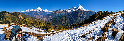
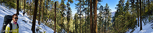
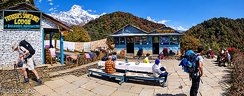
Panoramic view of Dhaulagiri I (8,167 m), the world’s seventh-highest mountain, on the left, and Machapuchare (Fishtail Mountain, 6,993 m) on the right, above the snow-covered trekking trail between Poon Hill and Banthanti, Annapurna region, Gandaki Province, NepalSnow-covered forest trail winding through tall Himalayan trees on the trek from Poon Hill towards Banthanti, Annapurna region, Gandaki Province, NepalTrekkers resting at Green Shankar Lodge and Restaurant, a mountain teahouse surrounded by flowering rhododendrons, with snow-covered Himalayan peaks in the background, along the trekking route from Poon Hill towards Banthanti, Annapurna region, Gandaki Province, Nepal
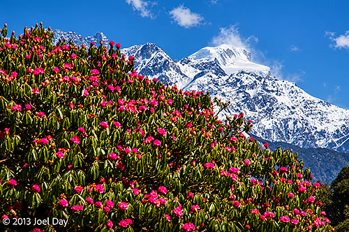
I would say today was my hardest day so far, with three steep ascents and the ice and snow. Most of the trail ran through forest, with views of snow-capped peaks between the branches. Huge forests of rhododendron trees will probably burst into bloom here in two weeks. Some trees are open, and many others have red buds starting to open. On our hike today, we also saw wild orchids, wild monkeys, and a deer (evidently rare; my guide had never seen one while trekking before).
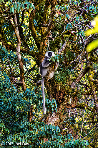
Brilliant pink Himalayan rhododendrons (Rhododendron arboreum) flowering against the snow-covered peaks of the Annapurna Himalayas, along the trekking trail from Poon Hill towards Banthanti, Gandaki Province, NepalHimalayan grey langur (Semnopithecus schistaceus) perched in a moss-covered rhododendron tree along the trekking trail from Poon Hill towards Chuile, Annapurna Conservation Area, Gandaki Province, Nepal
Day 3 Hike of the Annapurna Circuit
Map of the route “Annapurna Trek Day 3: Today’s word is Treacherous”: 23,360 m, 980 m of climbing and 1,461 m of descent, elevation between 2,290 m and 3,102 m, time 09:53:03. It starts at 28.40319, 83.69986 and ends at 28.40453, 83.77869 (latitude, longitude).
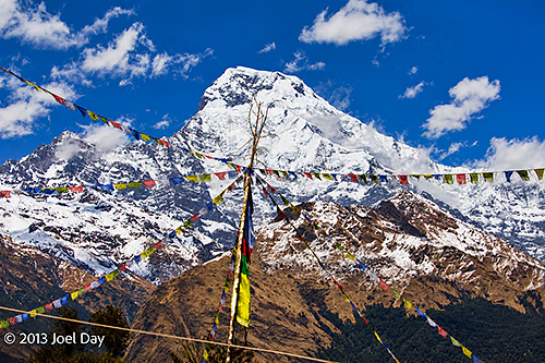
Colourful Buddhist prayer flags fluttering beneath the towering snow-covered summit of Annapurna South (7,219 m), viewed along the trekking trail from Ghorepani towards Chuile, Annapurna Conservation Area, Gandaki Province, Nepal
At one point, while struggling up a steep hill, I told my guide I would never have survived the Everest Base Camp hike. Today, we reached a peak altitude of 3101m (a bit over 10,000 feet), and I found it very hard to climb. The Everest Base Camp reaches an altitude of 5500m (18,000 feet). He said I wouldn’t have had any problem with the Everest Base Camp hike because it takes longer and has a much more gradual ascent, which lets you acclimatise much better. You are supposed to climb only 300 meters a day at higher altitudes, but because the Annapurna Circuit is so hilly, they have no choice unless hikers really only want to hike 2 hours a day.
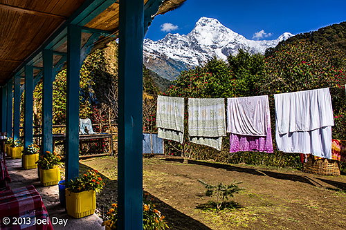
Sunlit veranda of a Himalayan trekking guesthouse near Chuile, with colourful potted plants, laundry drying in the mountain sunshine and spectacular views of the snow-covered Annapurna Himalayas, Annapurna Conservation Area, Gandaki Province, Nepal
By evening, only one couple from Israel showed up at the guesthouse (at about 2500m), also extremely fatigued from the day’s hike. We were also inundated with donkeys home from a tough day on the trails, ecstatic to have some time off. I’ve never seen mules roll around in the grass and run and play before.
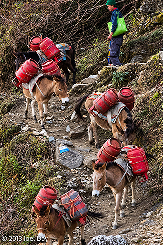
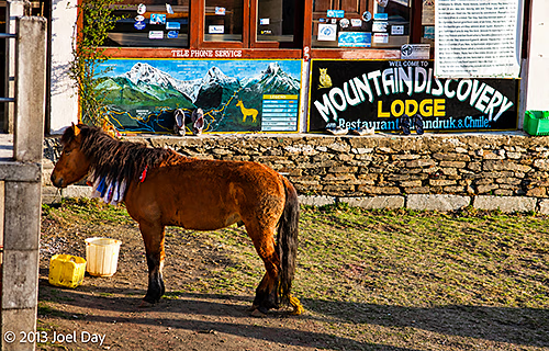
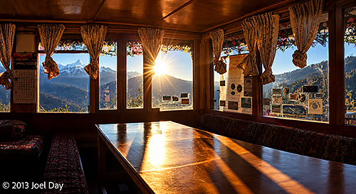
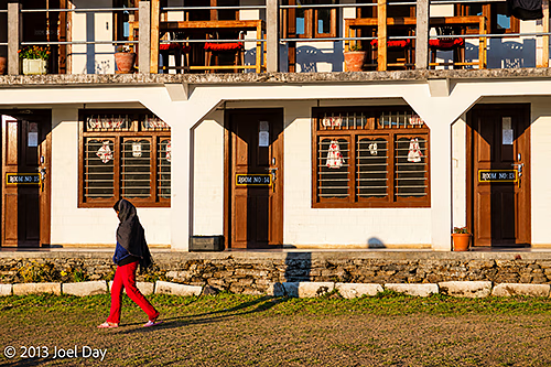
Pack mules carrying supplies in red panniers, accompanied by their handler, along a steep, rocky mountain trail between Ghorepani and Chuile, Annapurna Conservation Area, Gandaki Province, NepalA brown Himalayan pack pony standing outside Mountain Discovery Lodge and Restaurant in Chhuille (Chuile), Annapurna Conservation Area, Gandaki Province, NepalLate afternoon sunlight streaming through the windows of a traditional Himalayan trekking guesthouse near Chuile, with panoramic views of the Annapurna mountains and surrounding valleys, Annapurna Conservation Area, Gandaki Province, NepalLate-afternoon sunlight illuminating a traditional Himalayan trekking guesthouse near Chuile, with a woman walking across the grassy courtyard, Annapurna Conservation Area, Gandaki Province, Nepal
Now halfway back down the mountain, tomorrow is supposed to be a short hiking day with a hot springs visit in the afternoon. Looking forward to that!
Traditional terraced farmland and scattered mountain villages on the steep Himalayan hillsides between Ghorepani and Chuile, Annapurna Conservation Area, Gandaki Province, Nepal
Terraced Rice Fields and Traditional Farming Village, Annapurna Region, Nepal
Started off bright and early before the other lodgers to tackle about a 3000+ stair climb and the hardest day of my 5 day trek. Or so I was told. One of the New Zealanders who I met this morning at breakfast said later in the day that it was the hardest hike he’s done in Nepal yet, and he’s been here hiking for quite a while now – so I guess it was! There was a lot of climbing, but I really didn’t think it was too hard – but it certainly helps to have someone carrying your pack for most of the way.
Hidden Waterfall and Turquoise Mountain Pool in the Annapurna Region, NepalSuspension Footbridge Decorated with Buddhist Prayer Flags, Annapurna Region, NepalPack Mules Transporting Supplies Along a Rugged Himalayan Trail, Annapurna Trek, NepalHiker Crossing a Wooden Footbridge over a Mountain Stream, Annapurna Region, NepalTerraced Rice Fields and Traditional Farming Village, Annapurna Region, Nepal
My guide’s name is Deepak, and he’s 21 years younger than me, so I don’t fret too much when I run out of breath, and he’s still quietly breathing through his nose. He was born and raised in a small village just like the ones we’ve been walking through, so he can explain what life is like for the locals from personal experience. He’s also a registered guide with the Nepalese government and completed 45 days of training in culture, history, flora, fauna, anthropology, first aid, and more.
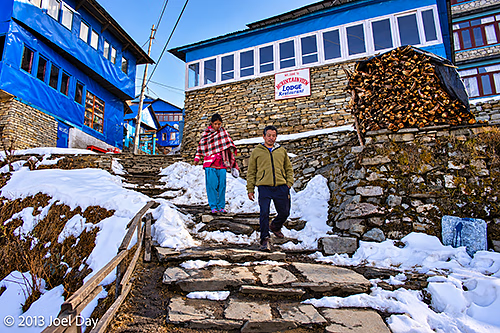
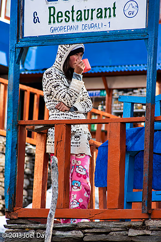
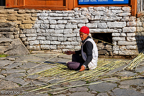
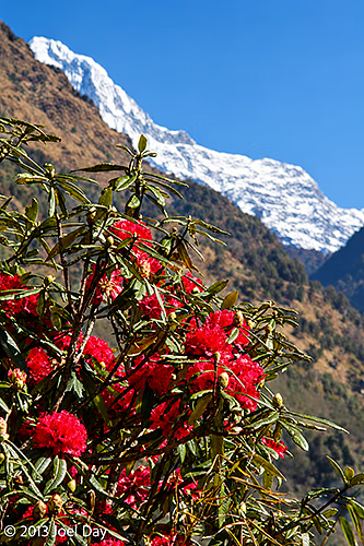
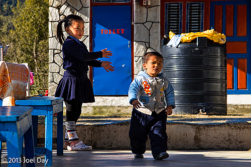
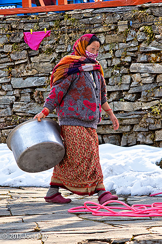
Village Life in Winter – Locals Walking Along Snow-Covered Stone Steps, Annapurna Trek, NepalWoman Enjoying a Hot Drink Outside a Mountain Lodge, Ghorepani, Annapurna Region, NepalTraditional Rural Life – Villager Sorting and Preparing Plant Stalks Along the Annapurna Trek, NepalHimalayan Rhododendrons in Bloom with Annapurna Mountain Peaks in the Background, NepalNepalese Children Playing Outside Their Home, Annapurna Region, NepalNepalese Woman Carrying a Large Cooking Pot Through Snow-Covered Ghorepani, Annapurna Region, NepalEveryday Life in the Himalayas – Local Woman Walking Along a Traditional Stone-Paved Trail, Nepal
Day 2 Hike of the Annapurna Circuit
Map of the route “Annapurna Trek Day 2: Stairs, Stairs, Stairs”: 20,533 m, 1,401 m of climbing and 139 m of descent, elevation between 1,498 m and 2,767 m, time 06:55:53. It starts at 28.35148, 83.74261 and ends at 28.40327, 83.69999 (latitude, longitude).
Machhapuchhre (Fishtail Mountain, 6,993 m) Bathed in Late-Afternoon Sunlight, Annapurna Region, Nepal
It’s been an amazing hike so far, getting more and more Spectacular the higher you climb. And colder and colder. We ended the day’s 20km hike at a ridge (at 2760m), staring straight at the world’s 7th and 10th tallest mountains. Snow from last week covered the area around our guesthouse, and it was 10C in my room, but I had a wonderful private bathroom with a great hot shower, and I brought plenty of warm gear to put on.
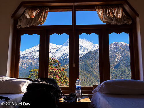
Room with a View – Snow-Capped Annapurna Himalayas as seen from my Guesthouse Room in Ghorepani, Annapurna Region, Nepal
By evening, the guesthouse had a warm, cozy ski-lodge atmosphere when they lit a big fire in the dining room and served me hot vegetable curry over rice, masala tea, and hot apple crumble with custard for dessert.
Sunset Illuminating Annapurna South (7,219 metres or 23,684 feet) and the Himalayan Peaks, Ghorepani, NepalAnnapurna South (7,219 m) Illuminated by Late-Afternoon Sunlight, Ghorepani, NepalMachhapuchhre (Fishtail Mountain, 6,993 m) Bathed in Late-Afternoon Sunlight, Annapurna Region, NepalMachhapuchhre (Fishtail Mountain, 6,993 m) Bathed in Late-Afternoon Sunlight, Annapurna Region, Nepal
Early morning panoramic view across Pokhara, Nepal, showing colourful residential buildings, lush green gardens and surrounding forested hills, with the snow-capped Annapurna Himalaya visible in the distance
After an early morning rise, I started my five-day Annapurna Circuit trek with my guide/porter. He offered to carry my bag if I’d carry his much lighter one. Sounded good to me! We swap from time to time, but he seems happy to carry mine. He’s guessing it’s about 13 kilos, which really isn’t that bad – but his bag is only about 5 kilos.
The first rays of the morning sun illuminate the snow-covered slopes of Annapurna South (7,219 m), Annapurna Himalaya, viewed from Pokhara, NepalThe first rays of the morning sun illuminating the summit of Machhapuchhre (Fishtail Mountain, 6,993 m), Annapurna Himalaya, viewed from Pokhara, Nepal
Today is the first really clear day I’ve seen in Nepal since I got here. Last night’s thunderstorms seemed to clear the skies. It was very nice to wake up this morning and see all the snow-capped mountains from my hotel room.
Early morning panoramic view of the snow-capped Annapurna massif, including Annapurna South (7,219 m) and Hiunchuli (6,441 m), rising above the forested Himalayan foothills near Pokhara, NepalA rocky mountain stream flows through a picturesque Himalayan valley, with a winding dirt road, scattered rural buildings and terraced farmland along the beginning of the Annapurna Circuit trekking route, Nepal
So far, the hike has involved a lot of climbing, but it’s been very tolerable with someone carrying my pack. The trail started as a dirt road, but became more of a mule track as we gained elevation. There are nice guesthouses all along the trail with comfortable mattresses, squat toilets, hot showers, meals, and electricity. So far, we have passed mostly terraced farm plots used for rice in summer and other crops like wheat and vegetables at other times of the year.
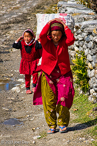
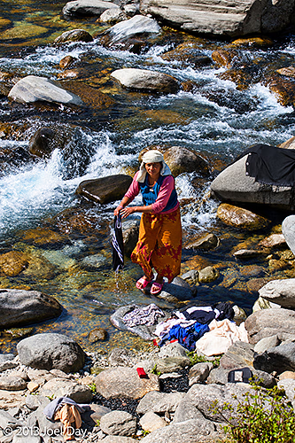
A Nepalese woman carries a heavy sack on her head along a rocky village path, followed by a young girl, near the beginning of the Annapurna Circuit trekking route, NepalA Nepalese woman washes clothes in the clear, fast-flowing waters of a rocky mountain stream near the beginning of the Annapurna Circuit trekking route, Nepal
My guide has been very nice, bright, and a good English speaker. He is from the country where his parents still live, but now lives in Kathmandu with his own family. He guides people regularly on the circuit I’m on, as well as on a more difficult, higher-altitude trek to Everest Base Camp. Today we climbed from about 800 meters to 1550 meters, taking the first few kilometres by taxi out of Pokhara and up to the Annapurna trailhead.
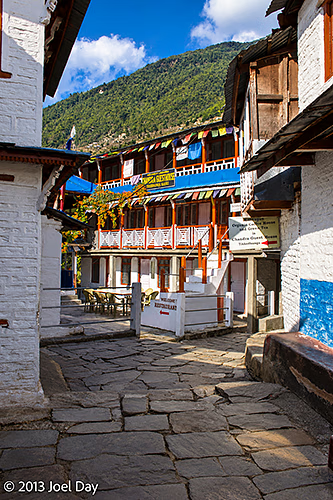
22Traditional Nepalese guesthouses with colourful wooden balconies surrounding a stone-paved courtyard in a Himalayan village along the Annapurna Circuit trekking route, Nepal
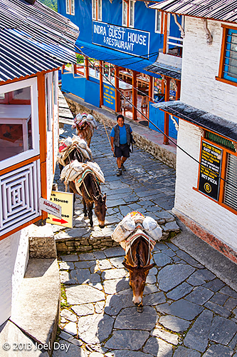
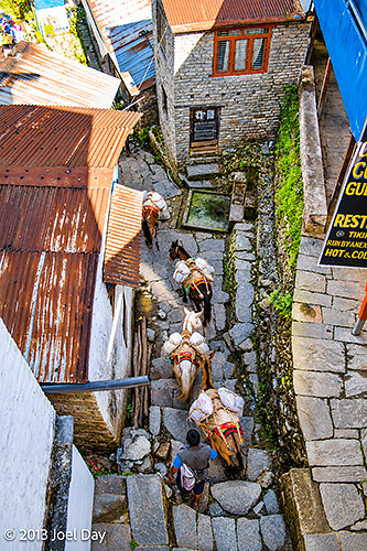
My guide resting amongst traditional Nepalese guesthouses with colourful wooden balconies surrounding a stone-paved courtyard in a Himalayan village along the Annapurna Circuit trekking route, NepalA caravan of pack mules carrying supplies along a narrow, stone-paved street lined with traditional guesthouses in a Himalayan village on the Annapurna Circuit trekking route, Nepal
Day 1 Hike of the Annapurna Circuit
Map of the route “Annapurna Trek Day 1”: 10,576 m, 585 m of climbing and 112 m of descent, elevation between 1,026 m and 1,531 m, time 03:44:54. It starts at 28.29621, 83.76791 and ends at 28.34913, 83.74099 (latitude, longitude).
In the evening, the guides got together for a private dinner, but only after making sure their clients received their dinners, had all their questions answered, and had their needs addressed. I ended up eating and talking with a young American engineer from Minneapolis, working in India for six months, and his travelling companion from the UK, who met for the first time in Kathmandu a few days earlier.
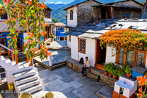
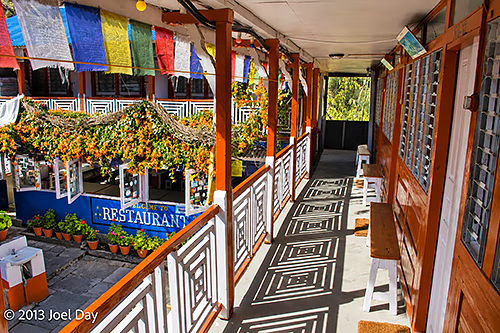
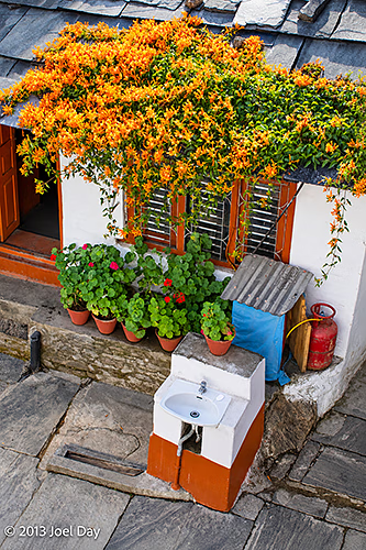
A caravan of pack mules carrying supplies along a narrow, stone-paved street lined with traditional guesthouses in a Himalayan village on the Annapurna Circuit trekking route, NepalColourful Buddhist prayer flags hang above the sunlit wooden balcony of a traditional guesthouse overlooking a restaurant courtyard along the Annapurna Circuit trekking route, NepalA colourful flowering vine cascades over the windows of a traditional stone-roofed guesthouse, with potted geraniums and an outdoor washbasin in the courtyard along the Annapurna Circuit trekking route, Nepal
You must be logged in to post a comment.