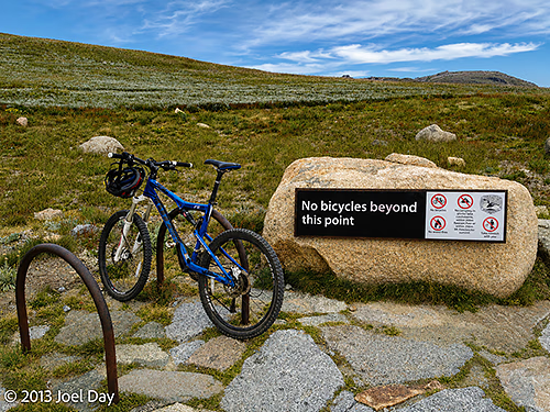
Well, after three great straight days, I knew that at some point I would be back to encountering average days – but I was expecting to hit my worst day of the trip so far. Charged up from my previous day of mountain biking, my plan was to tackle another interesting-sounding ride over a few hours in the morning and then get on the road to visit Wilsons Promontory by the end of the day. My park pass was scheduled to expire at noon, so I had an early pancake breakfast (which had worked well the previous day) and headed out to Perisher Valley to try one of the mountain bike tracks they had listed in detail in a brochure. The trail wasn’t marked, but the turn-by-turn directions were written out in the brochure with a map.
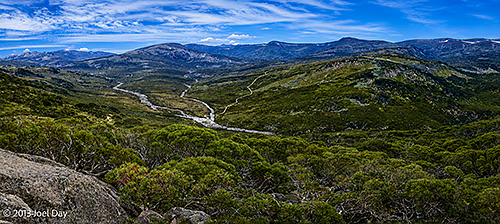
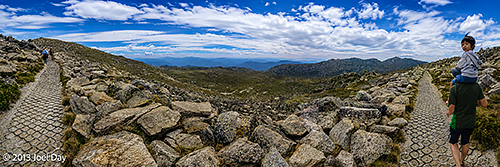
Well, I headed off to pursue the route, expecting to be back within a few hours. To make a long story short, I lost the trail about 2/3 of the way in and tried to follow other hiking trails and signs of civilisation to get back. The terrain was extremely hilly, and I wasn’t keen to backtrack, which, in hindsight, would have been the best idea. Instead, I followed a hiking trail that brought me into a valley with a horse and a house. I thought both the horse and the house would have to be connected to a road or driveway that would get me back out to the main road I started on. Unfortunately, the trail dead-ended at the house, which was really just an emergency shelter for lost cross-country skiers in winter. The horse just seemed to be out there on its own, possibly wild – it was really out in the middle of nowhere. Other roads or trails I spotted couldn’t be found or weren’t really what I thought they were when I got there.
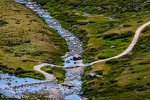
I took stock of the situation by the time I reached the end of the hiking trail at the emergency shelter and knew that I had full phone coverage if I needed it, access to very clean river water that was probably suitable for drinking, my topographic GPS to guide me, and a stack of muesli bars to keep me fueled up. The route I was taking kept getting harder and harder, but I never wanted to go back through the hard part I just came out of. The only ways back to the main road seemed to be either to cross a sizable mountain or to follow a stream that led to it.
Mountain Biking Bushwhacking
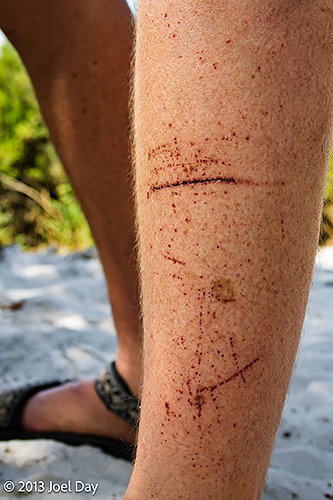
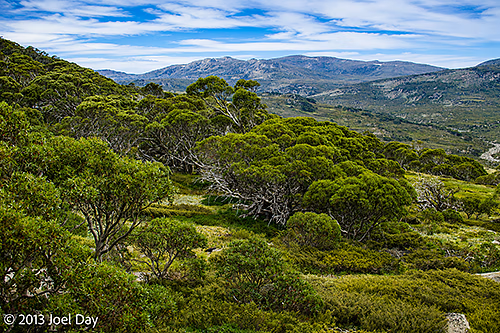
The stream route required about 6 km of prickly bushwhacking, with many hidden holes lurking beneath to catch my feet. Meadows were far easier to travel through, but were few and far between. I kept pursuing the route because I kept thinking I was seeing a hiking path or a road 100m away, but they were always false leads. Throughout the ordeal, I had to carry my bike because the terrain was too rough to push it. I was also under constant attack by very aggressive March flies (horse flies) and was getting my legs cut open by the prickly bushes.
I always knew that I could have called for an emergency pickup, but I wasn’t prepared to give up until I really couldn’t hack it anymore. Such a call could have cost me a bundle, and they may not have wanted to rescue my bike. It was extremely agonising, and it took me a full 5 hours to finally get back to my car. I had hoped the road would be all downhill when I finally got there because it was closer to the biggest mountains, but instead it was mostly uphill. To add insult to injury, when I got back to my car, I found a ticket on my windshield for being in the park after my pass had expired. I tried to argue it with the office, but they acted like I would have to fight it in court if I wasn’t happy about it.
The best part of the ordeal, if there was one, was taking refuge underwater in a few great swimming holes along the way. Because the march flies would attack the most when I stopped, I had to constantly keep moving – which became very exhausting. The only place I could get away from them and get a relaxing break was by swimming in these crystal clear, beautiful swimming holes.
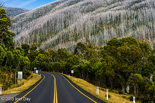
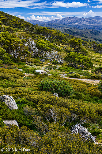
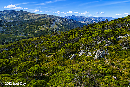
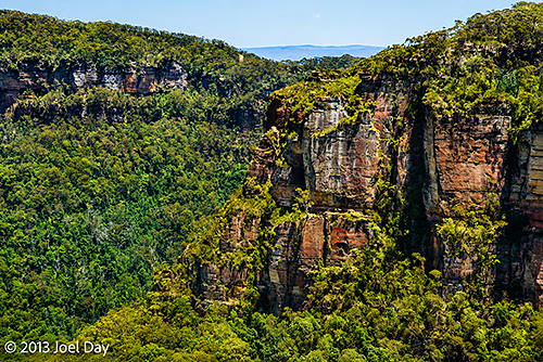
Fed up with the experience afterwards, I had a replenishment burger in town and decided to see how far I could make it to Wilsons Promontory before nightfall. The road I took south was very beautiful as it dropped into the lower valley of the park and then rose into Alpine National Park when I crossed the state line into Victoria, but it was far more remote than I expected. There were few service stations along the way, and those that I came across were closed, so I very nearly ran out of fuel towards the end. There were also no campgrounds available without prior reservations once I left the parks.
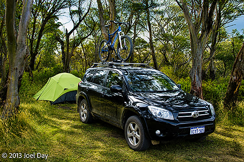
Suddenly, after driving 100’s of kms, I finally came into a town with just a litre or two of fuel left and lots of open service stations and restaurants to save me. In the end, I was forced to sleep in my car at a rest stop because all the caravan parks had closed for the night. Sleeping inside my car actually turned out pretty well, and much like I had thought it would before my trip, when I was planning for it back in Perth. There were lots of others doing the same because it was listed in a campsite book everyone recommends. To pull it off, I just had to reorganise things a bit in the back by stacking my gear tubs on one side of the car so I had room to lie down next to them. I did manage to get a good night’s sleep, which wasn’t too hard, considering all the drama I encountered earlier in the day.
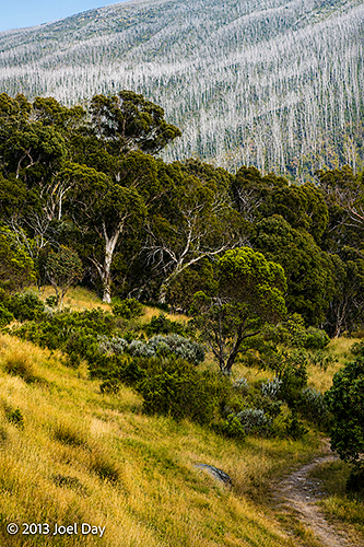
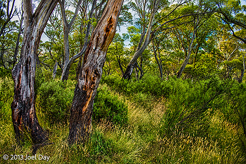
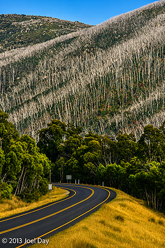
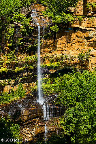
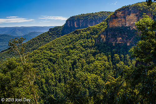
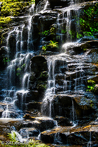
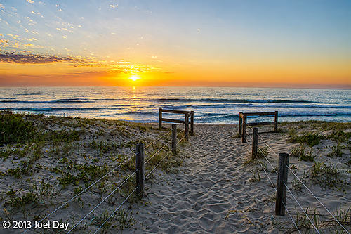
Today’s Exit Drive from the Snowy Mountains
You must be logged in to post a comment.