Feeling all revved up by my Lamington National Park stay, I hopped in my car and pursued what was supposed to be a two-hour drive down to Byron Bay for a night there. Byron Bay is a funky little alternative town everyone raves about, but when I finally got there, I could only find an eternally long traffic jam to get in, no accommodation available at any campsites for miles around, and a cop waiting to breathalyse me on the way back out. Not such a good experience. I did manage to find a caravan park several towns down the coast, which was wildly expensive, but only at the last minute.
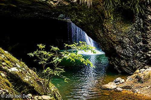
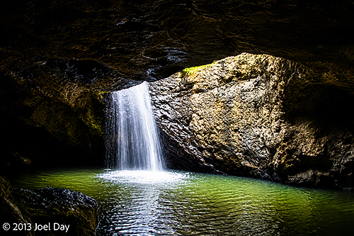
Earlier in the day, on the way to Byron Bay, I did enjoy driving through some very spectacular mountain passes and visiting a national park with a waterfall flowing over and under a natural bridge.
Natural Bridge Waterfall Hike at Springbrook National Park, Queensland
Map of the route “Byron Breathalyzation”: 925 m, 45 m of climbing and 40 m of descent, elevation between 282 m and 318 m, time 00:16:54. It is a loop that starts and ends at -28.23088, 153.24279 (latitude, longitude).
Today’s Drive
Map of the route “Byron Breathalyzation”: 320,760 m, 4,462 m of climbing and 5,394 m of descent, elevation between -2 m and 1,000 m, time 07:57:33. It starts at -28.23025, 153.13240 and ends at -28.83151, 153.60167 (latitude, longitude).
