New Zealand, South Island

My side trip to Antarctica…

Dunedin, South Island, New Zealand

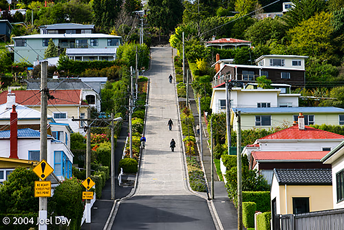
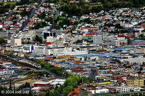
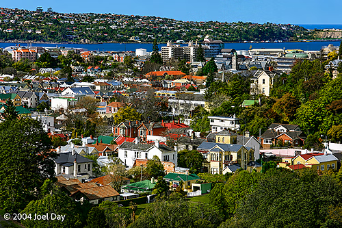
After spending a mere 15 hours in freezing Dunedin, where I hiked up the world’s steepest street and inhaled the smell of chocolate from the Cadbury plant, I started heading north to the fork in the road where I could either head for Mount Cook or Christchurch (the South Island’s largest city).
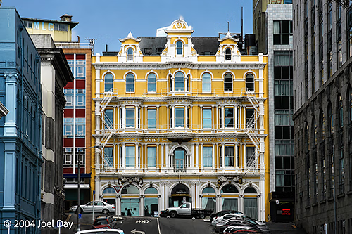
Dunedin, South Island, New Zealand
Hotel in Dunedin, New Zealand
Baldwin Street, Dunedin - The Steepest Street in the World
Baldwin Street, Dunedin – The Steepest Street in the World
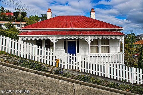
House on Baldwin Street, Dunedin - The Steepest Street in the World
House on Baldwin Street, Dunedin – The Steepest Street in the World

Once again, I found myself driving in the pouring rain. I decided to skip Mount Cook for fear that after a long drive, it would be shrouded in clouds. Instead, I ended up in Christchurch, hoping to spend a full day snooping around. I had a very hard time finding any accommodation in Christchurch. As it turns out, New Zealand and Australian school students have been enjoying a 2-week break — so everything was booked solid. Except for the YMCA, where I ended up. The Y was actually quite nice. Probably nicer than any other place I’ve stayed on this trip — but it was missing the social feel you get from hostels. It was also a tad more expensive. The hostels were all booked out by entire families on vacation, as hostelling in New Zealand is a pretty mainstream activity.
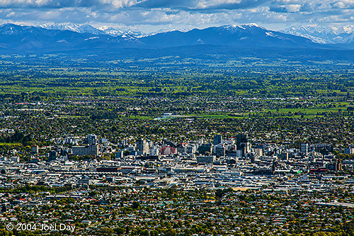
Christchurch, South Island, New Zealand

Christchurch was nothing to get too excited about. It looks better from a distance than from within. Or, at least, there wasn’t much to it. I have to give my vote to Wellington when it comes to New Zealand cities. Wellington seems to be like hilly San Francisco, Auckland like overcrowded New York, and Christchurch like Los Angeles (flat, at the base of snow-capped mountains — but without any freeways).
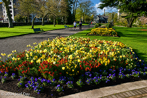
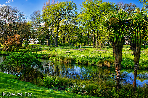
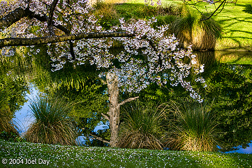
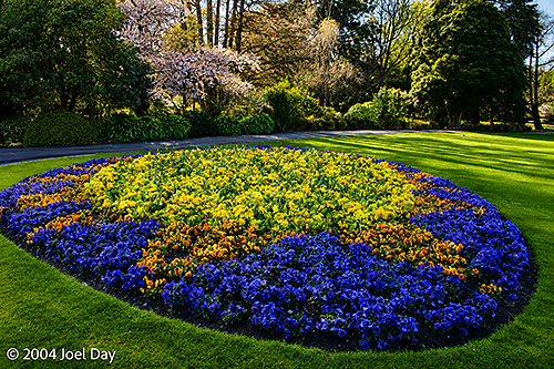
Christchurch Botanic Gardens, South Island, New Zealand

I decided to geek out in Christchurch and visit the overpriced Antarctic Museum. I guess because I couldn’t fit Antarctica into my itinerary any other way on this trip. It was a pretty good show, but mainly aimed at kids with lots of wiz-bang interactive stuff (including a windy chill room you could go into to see what the South Pole felt like). The museum was actually located at the Christchurch airport. Why? Because that’s actually where several countries funnel their supplies to the bases in Antarctica. Right across the street from New Zealand’s Antarctic offices were the United States’ Antarctic offices. Behind chain-link fences along the road, you could see long strips of supplies on pallets under netting, waiting to be slid onto Hercules Transport Planes for delivery to the South Pole. I thought it was pretty cool. They do 2 flights down there a week.
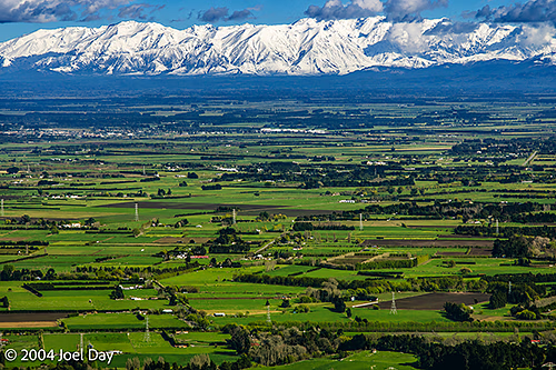
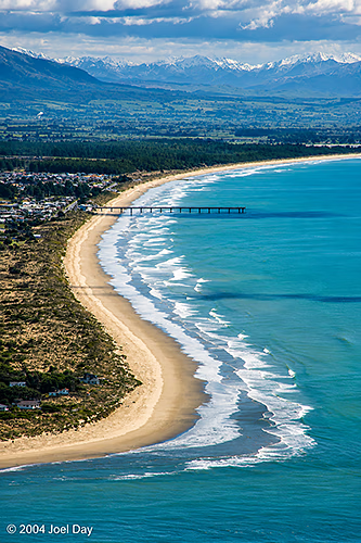
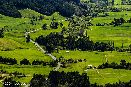
Farmland and Mountains near Christchurch, South Island, New Zealand
South New Brighton Beach, Christchurch, New Zealand
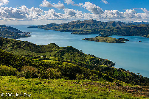
Bay south of Christchurch, South Island, New Zealand

Although they wouldn’t accept me as a guest, the YHA people in Christchurch were very nice and helped me secure reservations at a string of hostels that will lead me back to Auckland in time for my flight to Fiji on Wednesday. I’ve been retracing a few places, but I will get the chance to visit Napier on the east coast of the North Island after sailing into Wellington on the ferry tomorrow morning. I’m presently chilling out, cleaning up, and packing up tight for the journey back here in the Havelock schoolhouse hostel where I started on the South Island ten days ago.
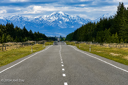
Highway across South Island, New Zealand
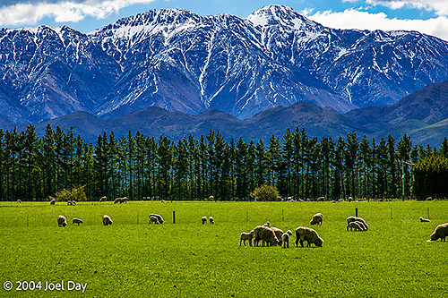
Sheep grazing on South Island, New Zealand
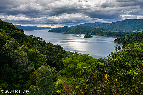
Queen Charlotte Sound, South Island, New Zealand
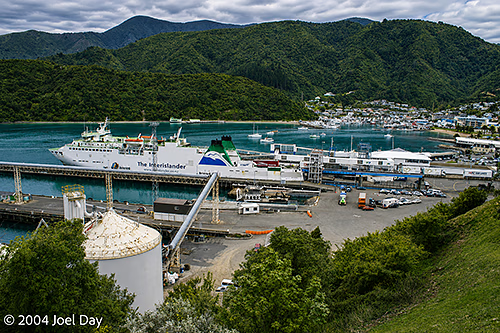
Wellington-Picton Interislander Cook Strait Ferry loading in Picton, South Island, New Zealand
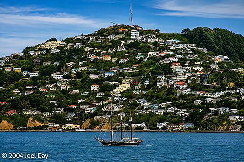
Tall Ship in Wellington, North Island, New Zealand
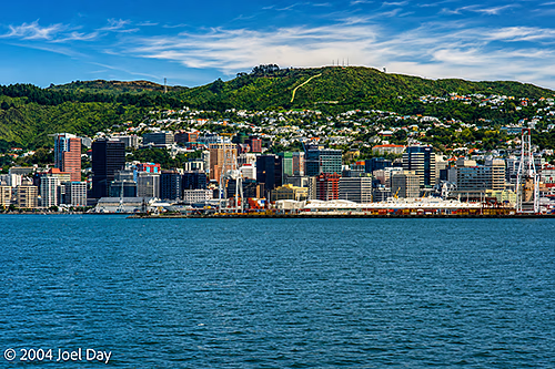
Wellington, North Island, New Zealand
New Zealand, South Island

Fiordland

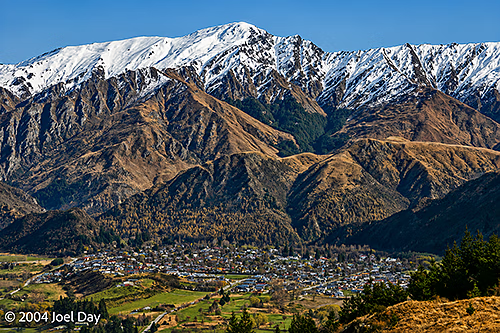
Queenstown Area, South Island, New Zealand

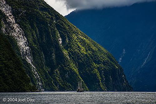
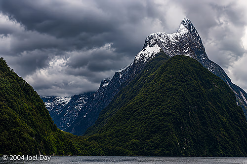
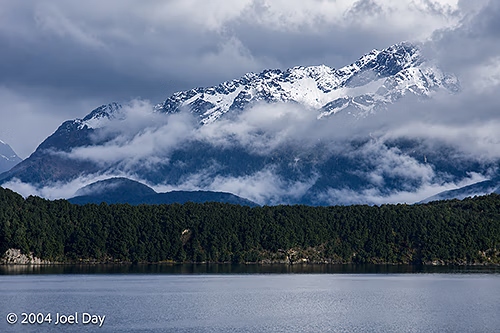
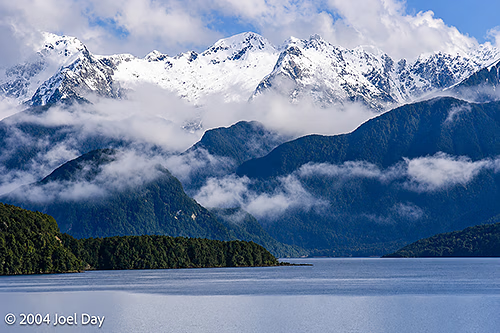
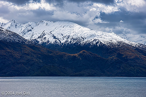
From the ski towns, I headed for Milford Sound in “Fiordland National Park” in the southwestern part of the country, where I took what was probably the most spectacular drive of my life. There were mile-high mountains with steep cliff faces that dropped straight down into fjords. For 17 km of the drive (each way), you were not allowed to stop your car due to the risk of avalanches. The road gets closed about 20 times a year, I was told, sometimes taking up to 5 days to clear.
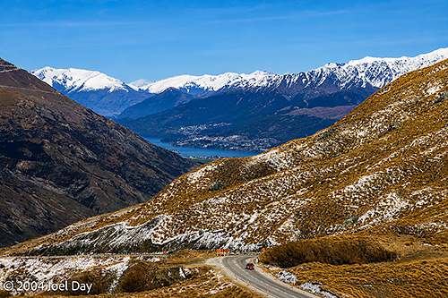
Mountain Pass near Queenstown, South Island, New Zealand
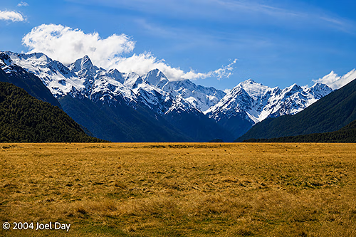
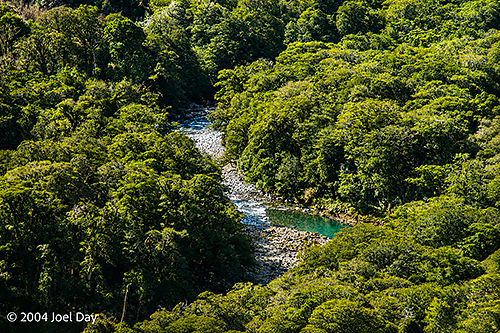
Fiordland National Park, South Island, New Zealand

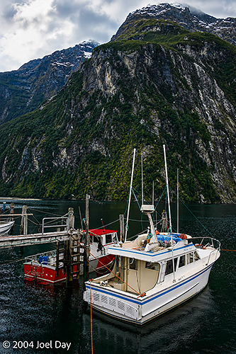
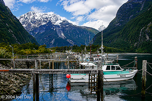
The end of the road takes you to Milford Sound, a place that is supposed to attract 7 meters of rain a year. My rough math tells me that equates to an average of about an inch of rain every single day. Fortunately, there were sunny blue skies when I drove in, so there was plenty to see. Overnight and on the way back out, it was pouring rain, which really hampered your visibility.

Milford Sound in Fiordland National Park, South Island, New Zealand
Boats in Milford Sound, Fiordland National Park, South Island, New Zealand

There is a 3-4 day “Milford Track” hike that extends through this Fiordland National Park, considered by many to be the ultimate hike anywhere worldwide. I was told the hike was so popular you needed to make reservations a year in advance. The reservations even require you to start on a specific date to synchronise all the hikers. During the summer months, the trail is supposed to be chock full of backpackers.

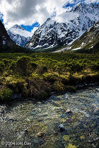
Fiordland National Park, South Island, New Zealand
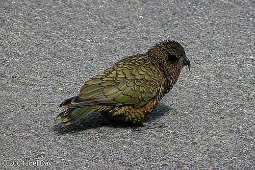
Kea (Nestor notabilis) in Fiordland National Park, South Island, New Zealand
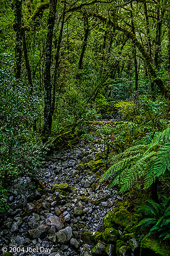
Fiordland National Park, South Island, New Zealand

I continued heading to the southern tip of the country, through Invercargill, along a scenic coastal drive, before heading up north to Dunedin for the night, the South Island’s second-largest city. The first half of the drive seemed a bit nicer than the second half. The first half ran past the snow-capped mountains of Fiordland, tapering off.

Lake Te Anau and Fiordland National Park, South Island, New Zealand

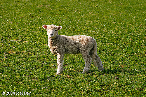
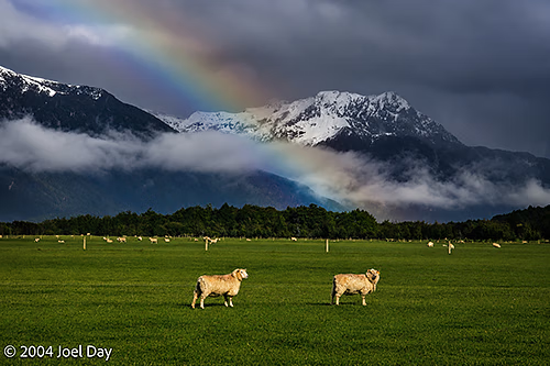
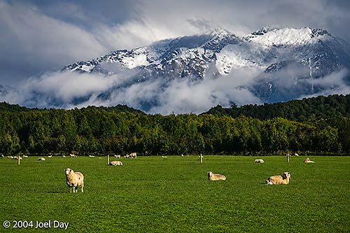
The second half ran past lots of sheep and rolling green hills. Lots of sheep. Actually, many of the sheep have babies this time of the year here, which are very cute to watch. It looks like someone sprinkled the hills with stuffed animals, but they play around with each other like puppy dogs.

Lamb on South Island, New Zealand
Sheep grazing next to Fiordland National Park, South Island, New Zealand
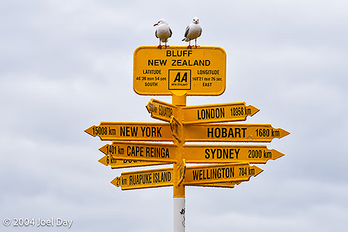
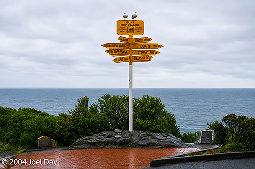
Southernmost Point of the South Island, near Invercargill, New Zealand
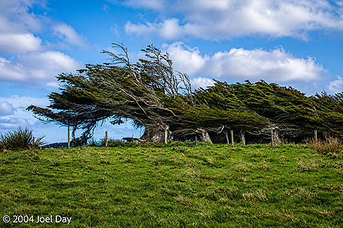
Windswept Trees at the Southernmost Point of the South Island, near Invercargill, New Zealand
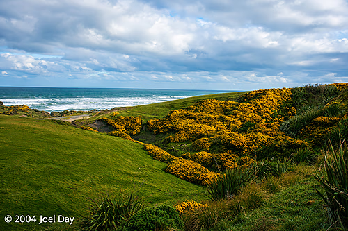
Southernmost Point of the South Island, near Invercargill, New Zealand

I’m juggling my options for travelling from here. I could either continue up the east coast or head inland for Mount Cook, Australasia’s highest mountain (3000+ meters). Depends on the weather. After driving all day in the rain yesterday, I’m not really keen on racing halfway across the country to see more clouds blocking my view.

New Zealand, South Island

The Southern Alps

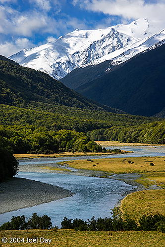
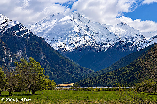
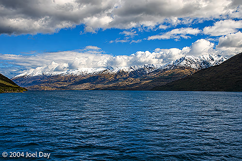
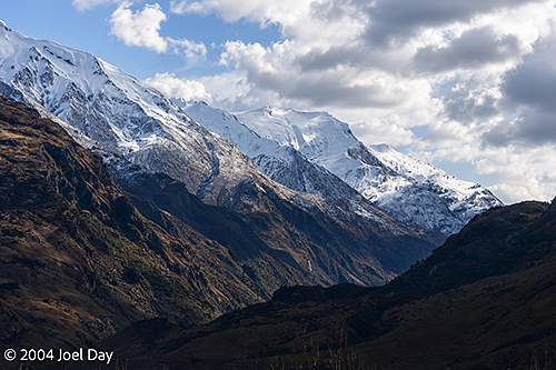
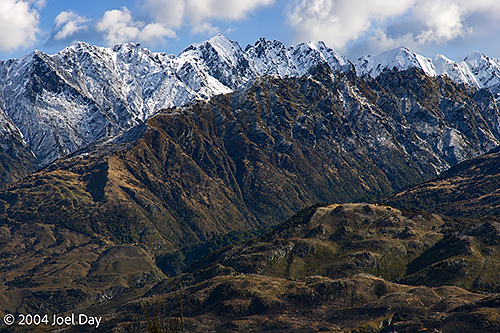
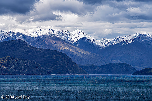
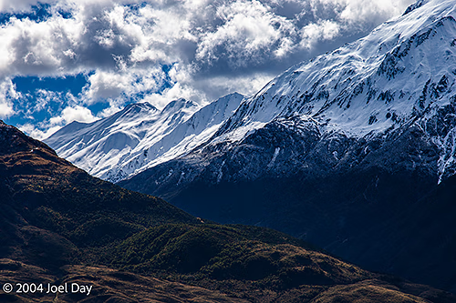
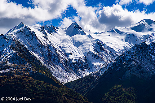
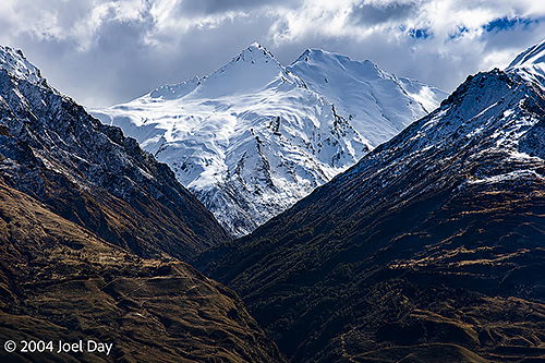
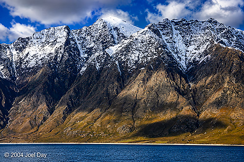
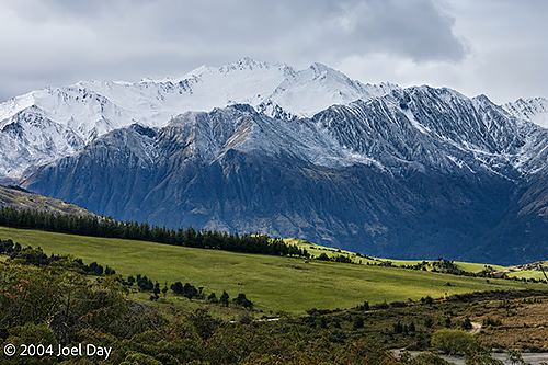
From the glaciers, I took a long drive through “Mount Aspiring National Park” and the Haast Pass, a spectacular path through snow-covered mountains up into “The Southern Alps” — one of the biggest ski regions of New Zealand. The drive was beautiful, taking you past endless mountains covered in snow with many huge, crystal-clear lakes at their feet. There were several cranked-up ski towns in the area (including Queenstown) packed full of partying skiers, so I opted for the quieter Wanaka on the edge of Lake Wanaka. It was the first time I had trouble finding accommodation down here. I was hoping to do a bit of hiking in the area, but the freezing cold weather and the idea of hiking up into the snowfields made me decide to head onward in my nice warm car.

Mount Aspiring National Park, South Island, New Zealand
Lake Wanaka, South Island, New Zealand
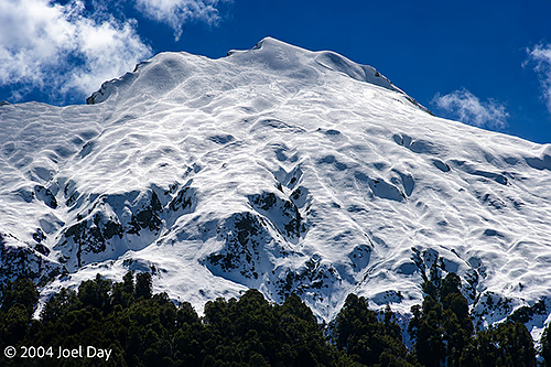
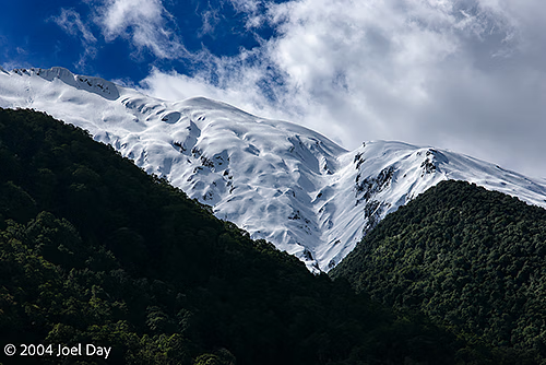
Southern Alps, South Island, New Zealand
New Zealand, South Island

Dodging Avalanches…

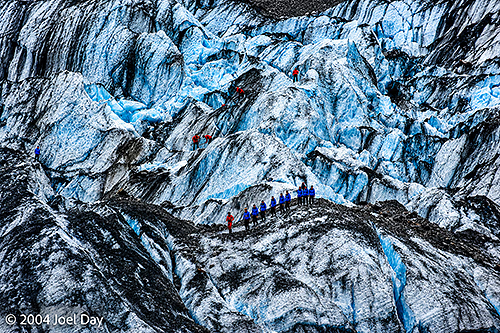
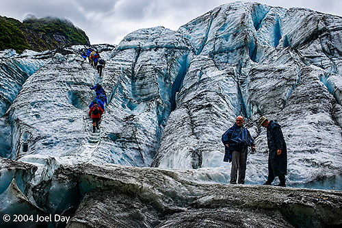
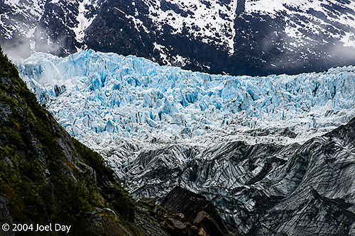
Climbers on Franz Josef (Waiau) Glacier, South Island, New Zealand

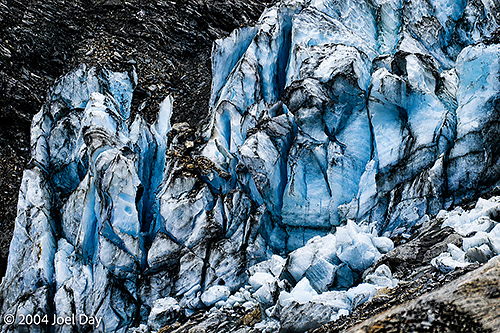
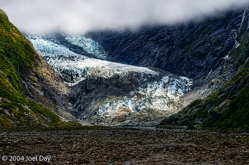
I’ve spent most of the past four days around snow, for a change. After leaving the rainforests of the upper west coast of New Zealand’s South Island, I headed south to where a few glaciers can be visited: the Franz Josef Glacier and the Fox Glacier. I hiked up to the nose of the Franz Josef Glacier and touched it. It was very blue in parts and full of small rocks and pebbles (which give it its dirty appearance).

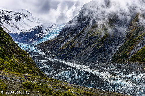
Franz Josef (Waiau) Glacier, South Island, New Zealand

Hiking up to the nose of a glacier is not the safest thing in the world to do since they’re continually melting and collapsing at the bottom, but the “experts” were leading tour groups up onto the glaciers from the same point, so most hikers assumed it had to be safe enough — even though there were signs everywhere warning you not to go near it.

Climbers on Franz Josef (Waiau) Glacier, South Island, New Zealand
Franz Josef (Waiau) Glacier, South Island, New Zealand
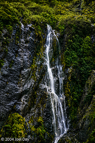
Waterfall near Franz Josef (Waiau) Glacier, South Island, New Zealand

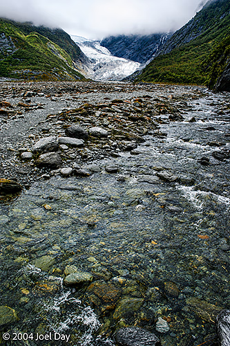
It was raining when I hiked up to the Franz Josef Glacier. One of the coolest things that happens when it rains is the sudden swelling of the streams running off the neighbouring mountains. One in particular had a constant flow of water coming out of it, but about five minutes after a downpour, it would sound like a jet engine spewing all the runoff that couldn’t be absorbed into the rock.

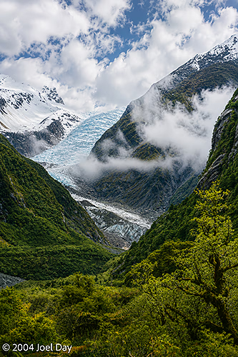
Fox Glacier, South Island, New Zealand
New Zealand, South Island

Pancakes and Thick Rainforests

By morning, I had had enough and decided to skip my planned hike in the freezing cold and concentrate on getting to my next destination in enough time to enjoy it before it got dark (unlike my previous several destinations where I found myself rocking up just before sunset). I found the source of the Buller River (by accident, really — but there was a sign there) in the Nelson Lakes National Park and followed it all the way to the west coast, where it drains into the sea at Westport. It was nice to follow because it runs through a huge gorge.

Punakaiki River, South Island, New Zealand
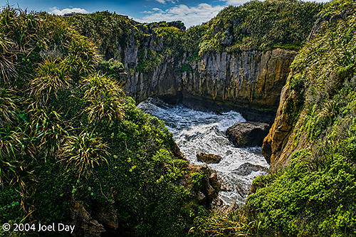
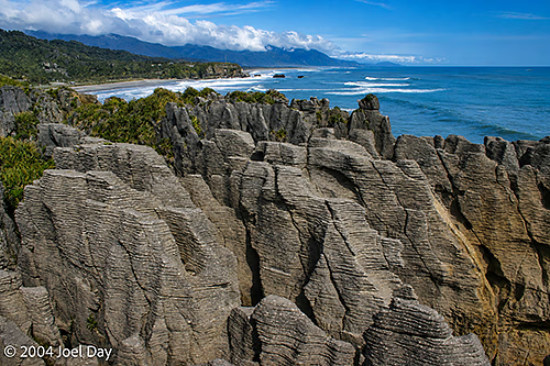
Pancake Rocks near Punakaiki Beach, South Island, New Zealand
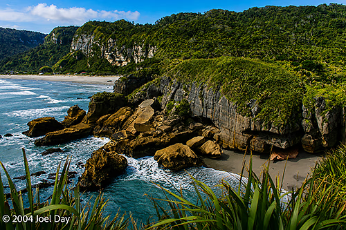
Punakaiki Beach, South Island, New Zealand

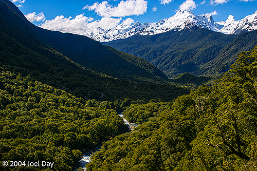
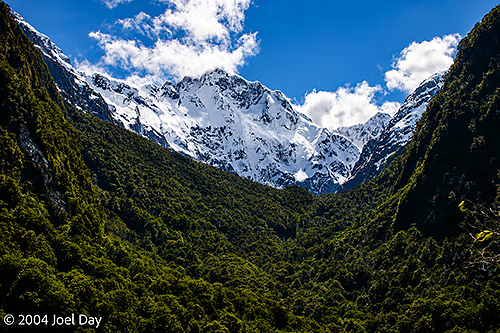
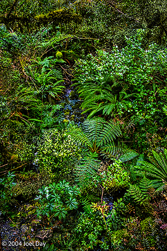
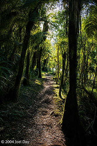
Westport was nothing to get excited about, so I decided to head south to Punakaiki along the west coast and next to the Paparoa National Park. This place was really neat: a nice warm rainforest with lots of freshwater rivers beside a huge snow-capped mountain range. I decided to take refuge in a warm youth hostel after my freezing Nelson Lakes experience (and also because of an incoming storm front). The youth hostel was spread out in a dense rainforest on a campus-like property. Although the neighbouring buildings were only about 10 meters apart, you felt alone because they were obscured by the dense vegetation. It was really cool, and the owners and visitors seemed very groovy. I was even able to score a couple of luscious home-cooked meals while I was there. This place seems to remind many Americans of Big Sur in California, but it actually felt a lot more accessible, with loads of good trails leading up into the hills and mountains.

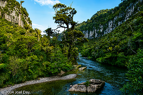
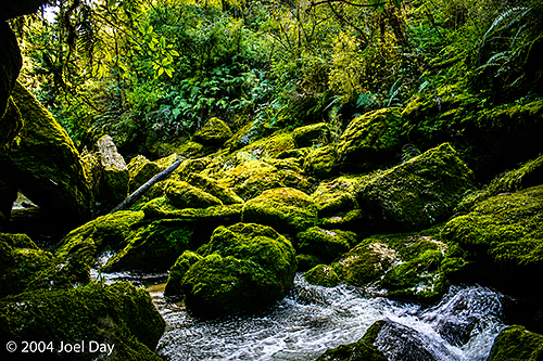
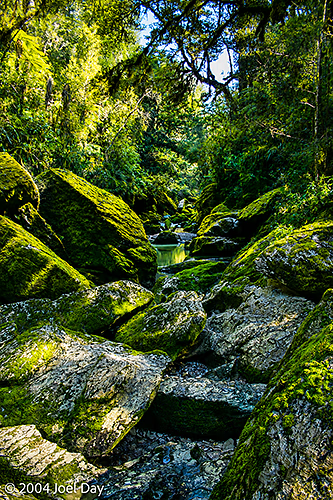
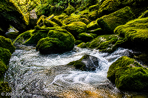
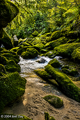
Pororari River, South Island, New Zealand
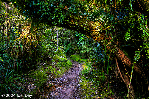
Walking Track along Pororari River, South Island, New Zealand

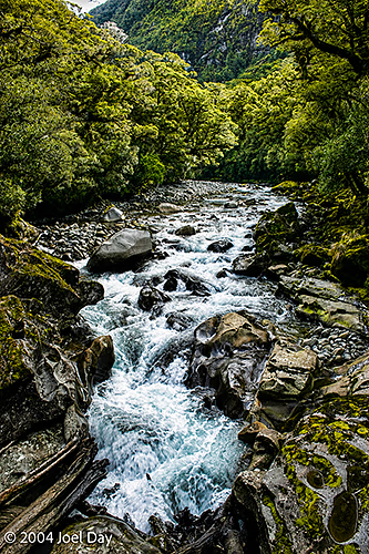
I did a couple of hikes up along creeks. One went to a creek source that emerged from a cave (“Cave Creek”), and the other to the beautiful Porarari River, which looked great for whitewater rafting, kayaking, or canoeing. I found out over dinner that 14 students died on an inappropriately constructed viewing platform there back in 1994 when it collapsed 40 meters into a chasm. Gulp! I think they’ve made sure it is safe enough now.

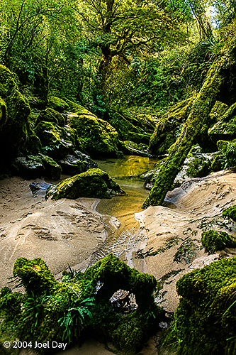
Pororari River, South Island, New Zealand
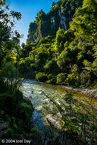
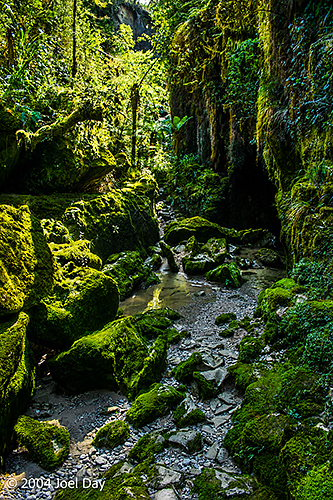
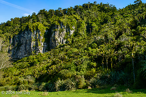
Cliffs along the Pororari River, South Island, New Zealand
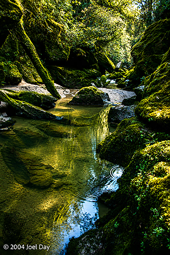
Pororari River, South Island, New Zealand
New Zealand, South Island

a bit of this, a bit of that…

I’m on my way to see some glaciers here on the South Island, and I’m stuck here in a classic New Zealand rain forest downpour, so I’ve finally found an excuse to catch up on my blog…

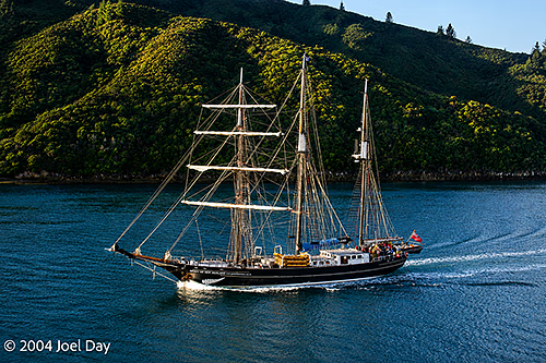
Tall Ship in Queen Charlotte Sound at the northern end of the South Island, New Zealand

After an hour delay on the ferry, we finally set sail from Wellington to Picton with everything imaginable on board. Trains, cars, tractor-trailers, campers, people, and sheep. Lots of sheep. The trains surprised me, actually. The entire lower floor of the ferry was reserved for train cars. Trains appear to just run from north to south in New Zealand, and hop on the ferry like everyone else. The sheep were actually in trucks and were nothing new to me, living in Fremantle (where there is a big, notorious live sheep export business to the Middle East).

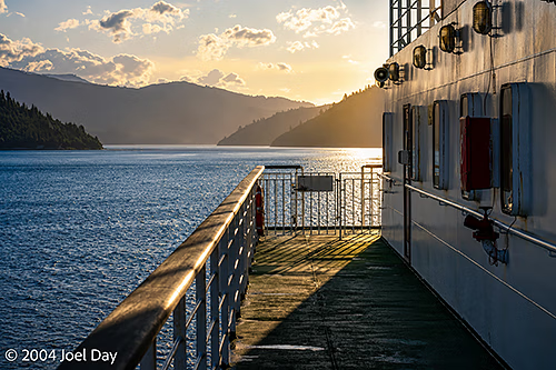
Wellington-Picton Interislander Cook Strait Ferry traversing Queen Charlotte Sound at the northern end of the South Island, New Zealand

I managed to get into Picton a bit later than planned, but decided to make a mad dash to an interesting-sounding youth hostel in an old former elementary school house in Havelock. The school had a few famous graduates, including one chap who migrated to the U.S. and became a famous nuclear scientist. It was a nice place with lots of character. One very pleasing thing about this region of New Zealand is that it boasts more hours of warmth and sunshine than any other.

South Island, New Zealand

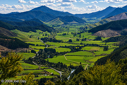
One thing I’ve quickly learned about travelling in New Zealand, unlike Australia, if a road sign says 50 km and the speed limit is 100 kph, that doesn’t necessarily mean you’ll get there in about 30 minutes. You have to contend with the possibility you’ll be on switchback roads up and down mountain peaks that will slow you down to around 40 kph (even though the posted speed limit might be 100 kph). My mad dash to Havelock ended up taking a lot longer than I thought and almost got me there too late.

South Island, New Zealand

After spending the night in Havelock, I drove to Nelson in the beautiful warm sunshine and decided that I really wanted to take another crack at camping while I was in New Zealand. The weather certainly seemed right for it, so I aimed to get into the Abel Tasman National Park — which is famous for a multi-day coastal hiking trail and beautiful beaches. Unfortunately, I found myself getting caught up in another tediously long switchback pass over the “Takaka Hill”. Some hill! This road was gruelling enough to make any driver carsick.

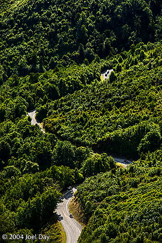
Switchback Mountain Pass over Takaka Hill, South Island, New Zealand

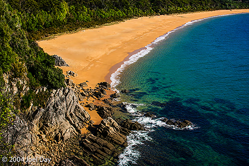
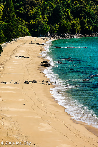
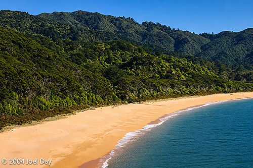
I finally managed to get to the outskirts of the park around sunset, and thought it a safer strategy to grab a tent site from a commercial campground than to try heading deep into the park to find the ideal one before dark. It wasn’t a bad spot. Right along a beach and not too cold. Just a bit of heavy dew in the morning. I drove into the park early and had breakfast in the camp area I was aiming for before taking a sample 3-hour hike along the coastal track. It was very nice, dipping down to beautiful beaches with bright yellow sand and then back up into the densely wooded hills from time to time. There were two sections of the trail that could only be used at low tide since they went across tidal mud flats. I’ve been told by several locals that these trails are packed with tourists in the summer months. I saw about 20 people with packs while I was there.

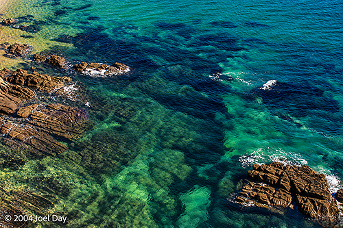
Abel Tasman National Park, South Island, New Zealand

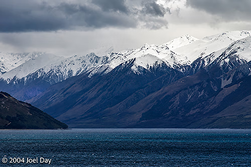
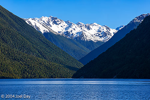
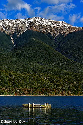
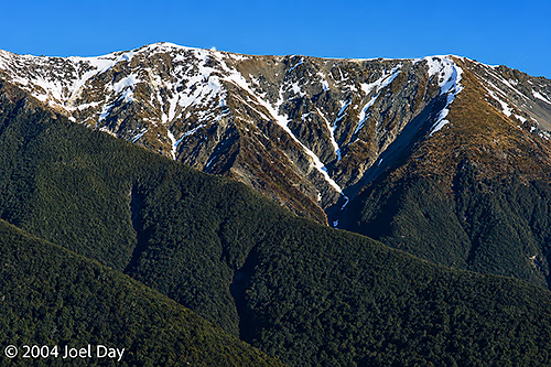
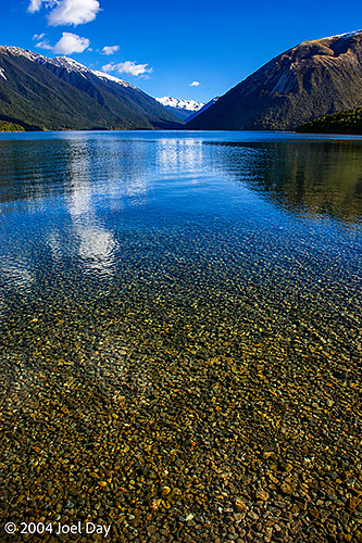
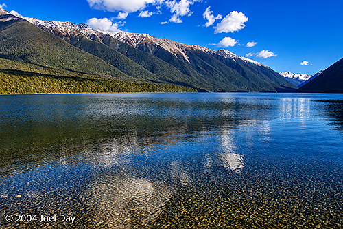
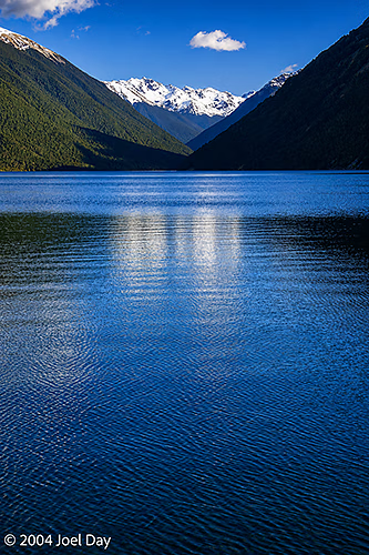
After my successful camping outside of Abel Tasman National Park (in Takapou), I decided to try my luck getting into the Nelson Lakes National Park camp groups to the south. The Nelson Lakes region is quite spectacular with snow-capped mountains dropping into crystal-clear lakes. I found hardly anyone there at this time of year and set up camp for the night. It seemed a bit chilly, but everything seemed to be going well until around 1 AM, when you could really start to feel the cold. By morning, there was a thick frost on everything — including my tent. I was freezing for most of the night, even though I was bundled up in a 3-season sleeping bag and a cheap, thick quilt I picked up in a supermarket. I think a lot of other campers were as uncomfortable as I was that night because I could hear a continuous unzipping and zipping of tents and sleeping bags around me.

Nelson Lakes National Park, South Island, New Zealand