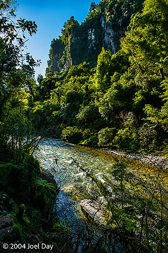
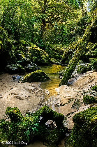
By morning, I had had enough and decided to skip my planned hike in the freezing cold and concentrate on getting to my next destination in enough time to enjoy it before it got dark (unlike my previous several destinations where I found myself rocking up just before sunset). I found the source of the Buller River (by accident, really — but there was a sign there) in the Nelson Lakes National Park and followed it all the way to the west coast, where it drains into the sea at Westport. It was nice to follow because it runs through a huge gorge.
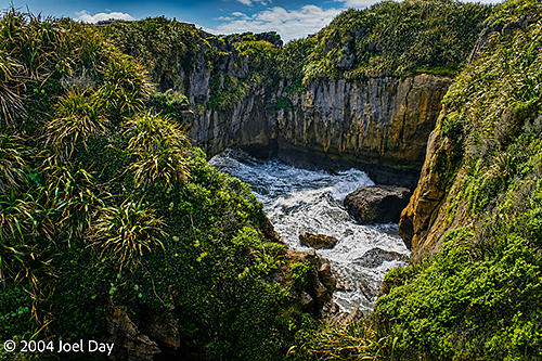
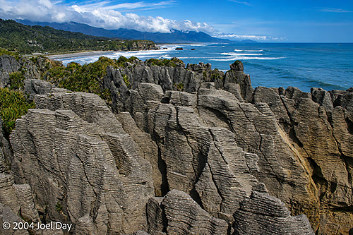
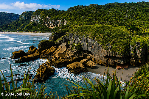
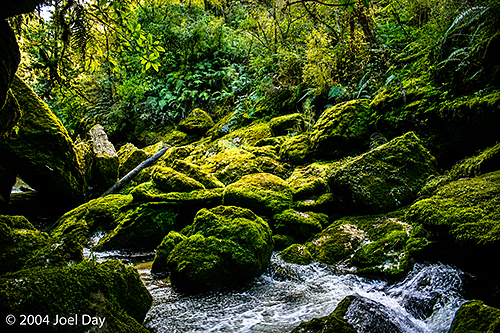
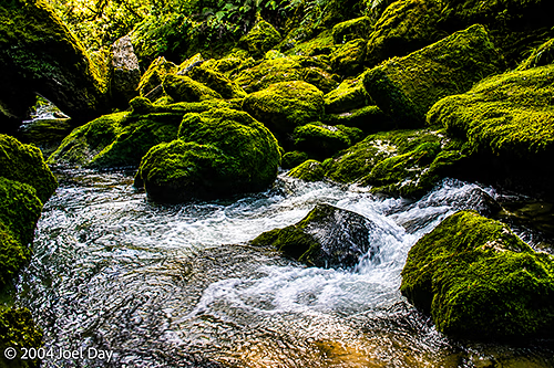
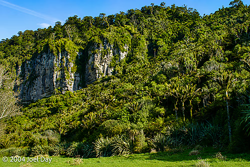
Westport was nothing to get excited about, so I decided to head south to Punakaiki along the west coast and next to the Paparoa National Park. This place was really neat: a nice warm rainforest with lots of freshwater rivers beside a huge snow-capped mountain range. I decided to take refuge in a warm youth hostel after my freezing Nelson Lakes experience (and also because of an incoming storm front). The youth hostel was spread out in a dense rainforest on a campus-like property. Although the neighbouring buildings were only about 10 meters apart, you felt alone because they were obscured by the dense vegetation. It was really cool, and the owners and visitors seemed very groovy. I was even able to score a couple of luscious home-cooked meals while I was there. This place seems to remind many Americans of Big Sur in California, but it actually felt a lot more accessible, with loads of good trails leading up into the hills and mountains.
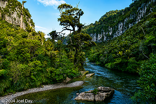
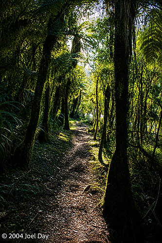
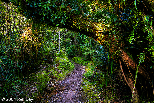
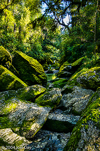
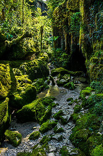
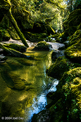
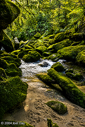
I did a couple of hikes up along creeks. One went to a creek source that emerged from a cave (“Cave Creek”), and the other to the beautiful Porarari River, which looked great for whitewater rafting, kayaking, or canoeing. I found out over dinner that 14 students died on an inappropriately constructed viewing platform there back in 1994 when it collapsed 40 meters into a chasm. Gulp! I think they’ve made sure it is safe enough now.