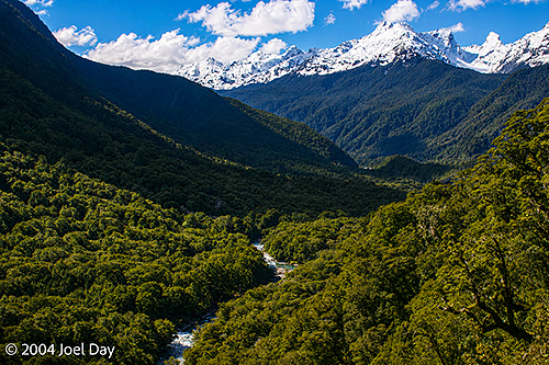
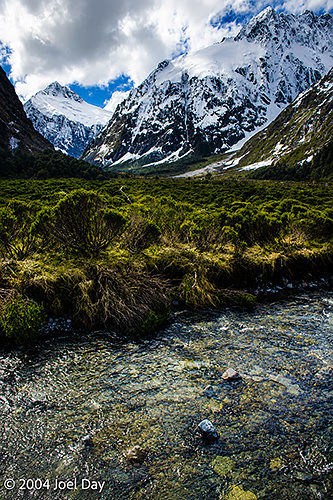
From the ski towns, I headed for Milford Sound in “Fiordland National Park” in the southwestern part of the country, where I took what was probably the most spectacular drive of my life. There were mile-high mountains with steep cliff faces that dropped straight down into fjords. For 17 km of the drive (each way), you were not allowed to stop your car due to the risk of avalanches. The road gets closed about 20 times a year, I was told, sometimes taking up to 5 days to clear.
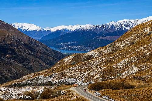
Mountain Pass near Queenstown, South Island, New ZealandFiordland National Park, South Island, New Zealand
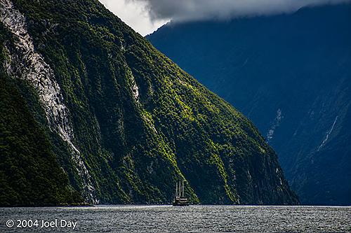
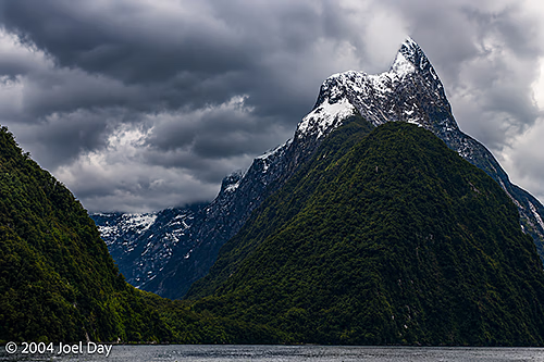
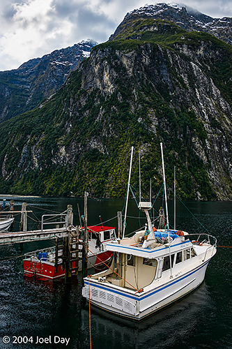
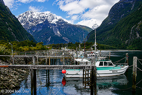
The end of the road takes you to Milford Sound, a place that is supposed to attract 7 meters of rain a year. My rough math tells me that equates to an average of about an inch of rain every single day. Fortunately, there were sunny blue skies when I drove in, so there was plenty to see. Overnight and on the way back out, it was pouring rain, which really hampered your visibility.
Milford Sound in Fiordland National Park, South Island, New ZealandMilford Sound in Fiordland National Park, South Island, New ZealandBoats in Milford Sound, Fiordland National Park, South Island, New ZealandBoats in Milford Sound, Fiordland National Park, South Island, New Zealand
There is a 3-4 day “Milford Track” hike that extends through this Fiordland National Park, considered by many to be the ultimate hike anywhere worldwide. I was told the hike was so popular you needed to make reservations a year in advance. The reservations even require you to start on a specific date to synchronise all the hikers. During the summer months, the trail is supposed to be chock full of backpackers.
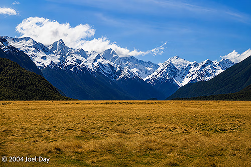
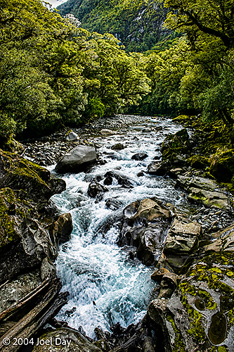
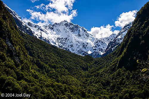
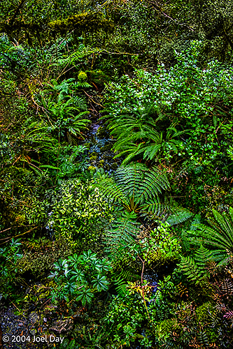
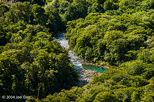
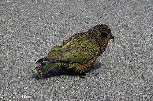
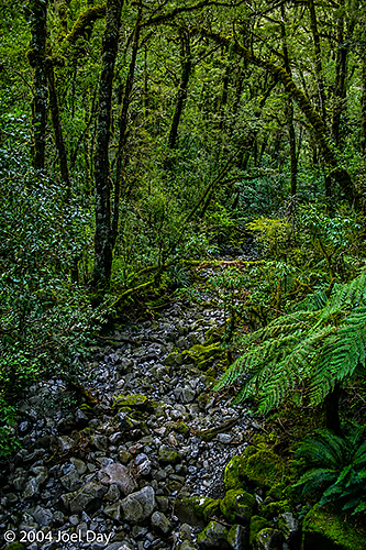
Fiordland National Park, South Island, New ZealandFiordland National Park, South Island, New ZealandFiordland National Park, South Island, New ZealandFiordland National Park, South Island, New ZealandFiordland National Park, South Island, New ZealandFiordland National Park, South Island, New ZealandKea (Nestor notabilis) in Fiordland National Park, South Island, New ZealandFiordland National Park, South Island, New Zealand
I continued heading to the southern tip of the country, through Invercargill, along a scenic coastal drive, before heading up north to Dunedin for the night, the South Island’s second-largest city. The first half of the drive seemed a bit nicer than the second half. The first half ran past the snow-capped mountains of Fiordland, tapering off.
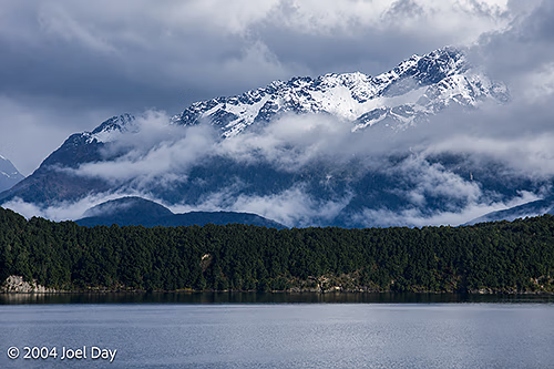
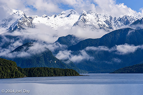
Lake Te Anau and Fiordland National Park, South Island, New ZealandLake Te Anau and Fiordland National Park, South Island, New Zealand
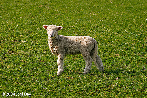
The second half ran past lots of sheep and rolling green hills. Lots of sheep. Actually, many of the sheep have babies this time of the year here, which are very cute to watch. It looks like someone sprinkled the hills with stuffed animals, but they play around with each other like puppy dogs.
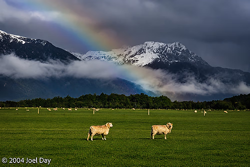
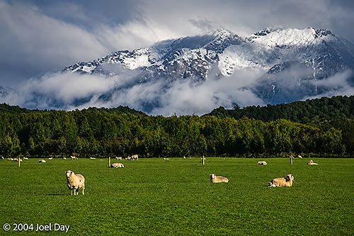
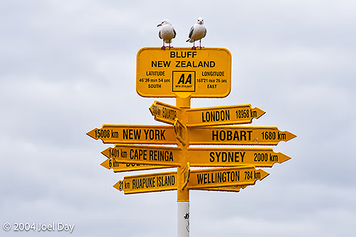
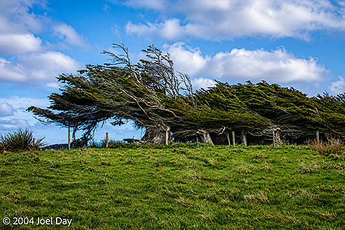
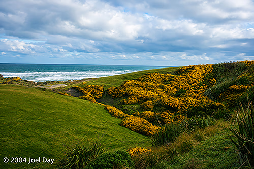
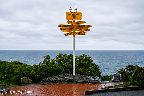
Lamb on South Island, New ZealandSheep grazing next to Fiordland National Park, South Island, New ZealandSheep grazing next to Fiordland National Park, South Island, New ZealandSouthernmost Point of the South Island, near Invercargill, New ZealandWindswept Trees at the Southernmost Point of the South Island, near Invercargill, New ZealandSouthernmost Point of the South Island, near Invercargill, New ZealandSouthernmost Point of the South Island, near Invercargill, New Zealand
I’m juggling my options for travelling from here. I could either continue up the east coast or head inland for Mount Cook, Australasia’s highest mountain (3000+ meters). Depends on the weather. After driving all day in the rain yesterday, I’m not really keen on racing halfway across the country to see more clouds blocking my view.
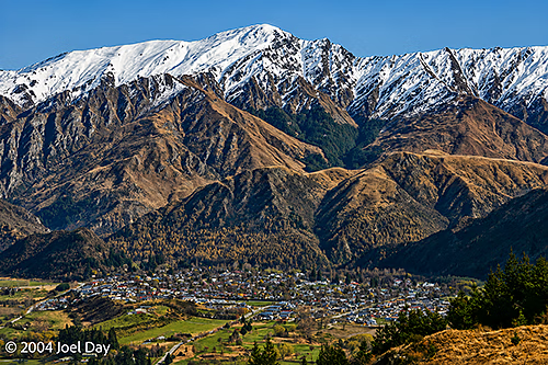
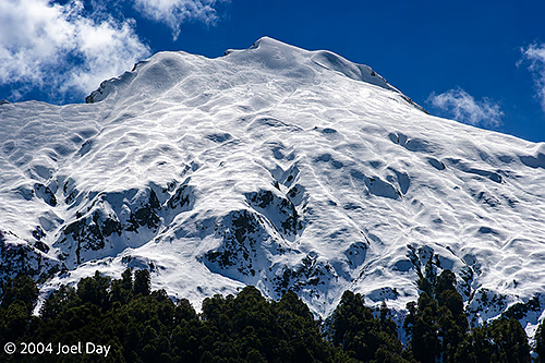
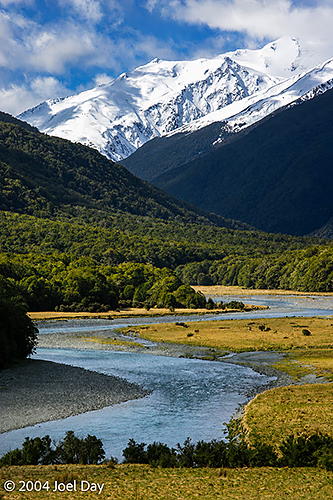
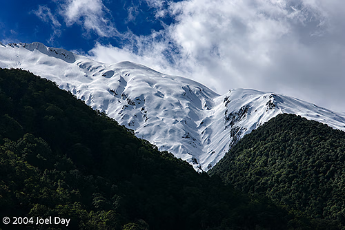
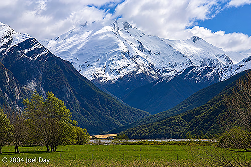
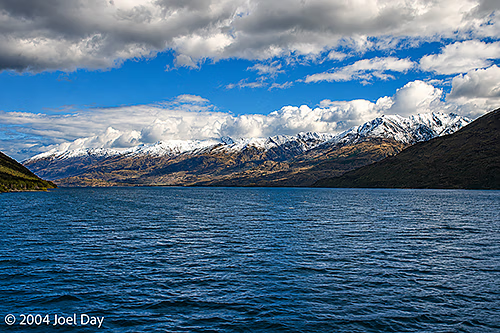
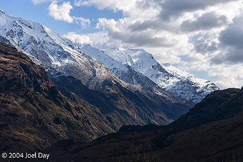
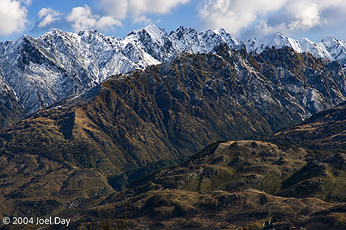
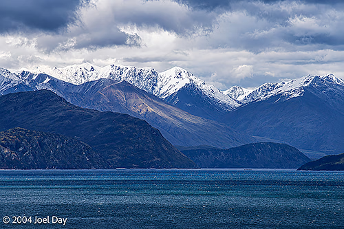
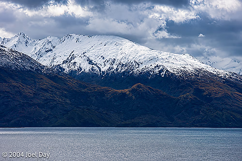
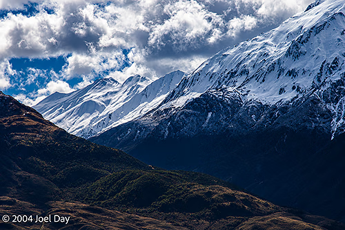
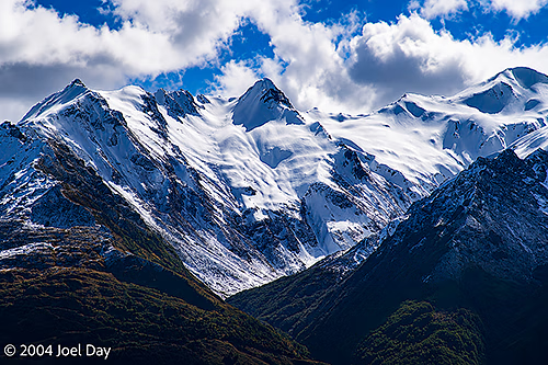
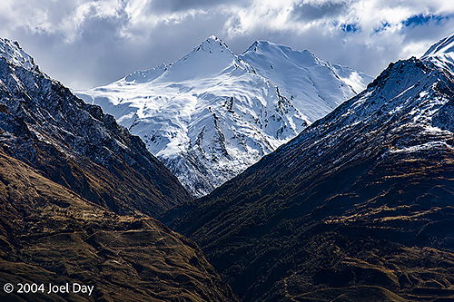
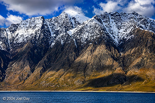
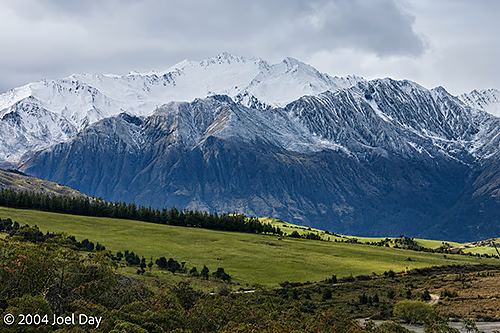
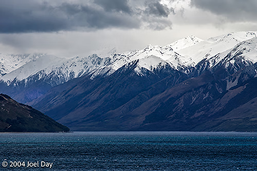
From the glaciers, I took a long drive through “Mount Aspiring National Park” and the Haast Pass, a spectacular path through snow-covered mountains up into “The Southern Alps” — one of the biggest ski regions of New Zealand. The drive was beautiful, taking you past endless mountains covered in snow with many huge, crystal-clear lakes at their feet. There were several cranked-up ski towns in the area (including Queenstown) packed full of partying skiers, so I opted for the quieter Wanaka on the edge of Lake Wanaka. It was the first time I had trouble finding accommodation down here. I was hoping to do a bit of hiking in the area, but the freezing cold weather and the idea of hiking up into the snowfields made me decide to head onward in my nice warm car.
Mount Aspiring National Park, South Island, New ZealandMount Aspiring National Park, South Island, New ZealandMount Aspiring National Park, South Island, New ZealandMount Aspiring National Park, South Island, New ZealandLake Wanaka, South Island, New ZealandSouthern Alps, South Island, New ZealandSouthern Alps, South Island, New ZealandSouthern Alps, South Island, New ZealandSouthern Alps, South Island, New ZealandSouthern Alps, South Island, New ZealandSouthern Alps, South Island, New ZealandSouthern Alps, South Island, New ZealandSouthern Alps, South Island, New ZealandSouthern Alps, South Island, New ZealandSouthern Alps, South Island, New Zealand
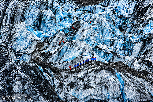
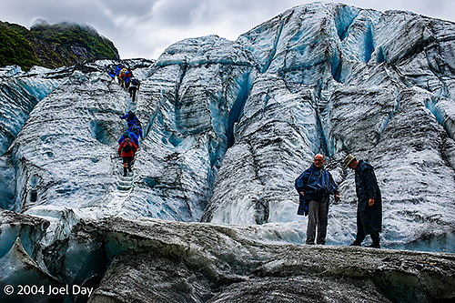
Climbers on Franz Josef (Waiau) Glacier, South Island, New Zealand
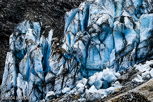
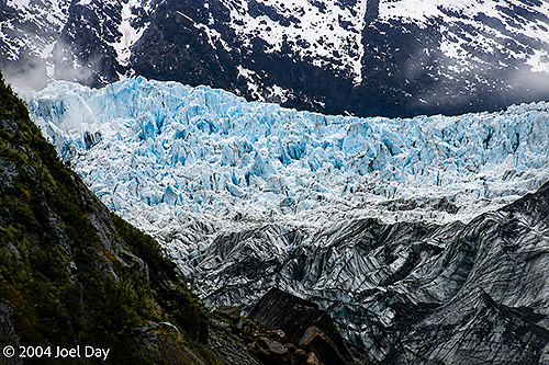
I’ve spent most of the past four days around snow, for a change. After leaving the rainforests of the upper west coast of New Zealand’s South Island, I headed south to where a few glaciers can be visited: the Franz Josef Glacier and the Fox Glacier. I hiked up to the nose of the Franz Josef Glacier and touched it. It was very blue in parts and full of small rocks and pebbles (which give it its dirty appearance).
Franz Josef (Waiau) Glacier, South Island, New Zealand
Hiking up to the nose of a glacier is not the safest thing in the world to do since they’re continually melting and collapsing at the bottom, but the “experts” were leading tour groups up onto the glaciers from the same point, so most hikers assumed it had to be safe enough — even though there were signs everywhere warning you not to go near it.
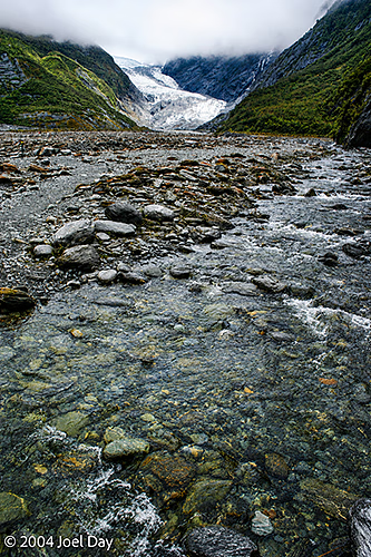
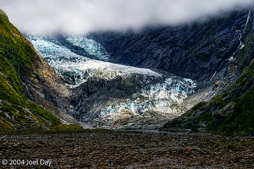
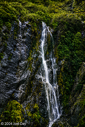
Climbers on Franz Josef (Waiau) Glacier, South Island, New ZealandFranz Josef (Waiau) Glacier, South Island, New ZealandFranz Josef (Waiau) Glacier, South Island, New ZealandWaterfall near Franz Josef (Waiau) Glacier, South Island, New Zealand
It was raining when I hiked up to the Franz Josef Glacier. One of the coolest things that happens when it rains is the sudden swelling of the streams running off the neighbouring mountains. One in particular had a constant flow of water coming out of it, but about five minutes after a downpour, it would sound like a jet engine spewing all the runoff that couldn’t be absorbed into the rock.
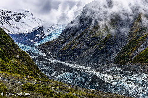
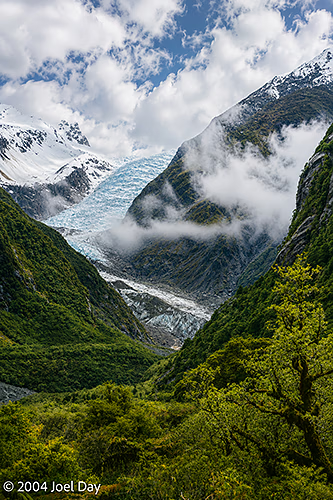
Fox Glacier, South Island, New ZealandFox Glacier, South Island, New ZealandFox Glacier, South Island, New Zealand
By morning, I had had enough and decided to skip my planned hike in the freezing cold and concentrate on getting to my next destination in enough time to enjoy it before it got dark (unlike my previous several destinations where I found myself rocking up just before sunset). I found the source of the Buller River (by accident, really — but there was a sign there) in the Nelson Lakes National Park and followed it all the way to the west coast, where it drains into the sea at Westport. It was nice to follow because it runs through a huge gorge.
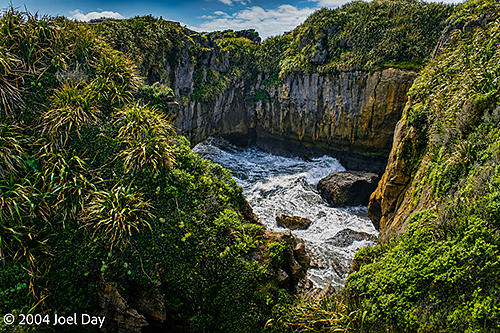
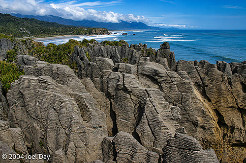
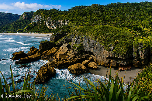
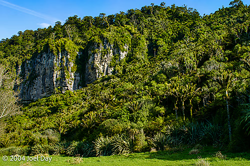
Punakaiki River, South Island, New ZealandPancake Rocks near Punakaiki Beach, South Island, New ZealandPunakaiki Beach, South Island, New Zealand
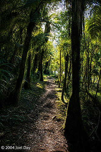
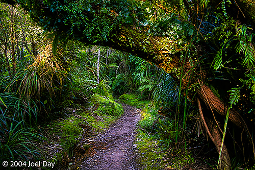
Westport was nothing to get excited about, so I decided to head south to Punakaiki along the west coast and next to the Paparoa National Park. This place was really neat: a nice warm rainforest with lots of freshwater rivers beside a huge snow-capped mountain range. I decided to take refuge in a warm youth hostel after my freezing Nelson Lakes experience (and also because of an incoming storm front). The youth hostel was spread out in a dense rainforest on a campus-like property. Although the neighbouring buildings were only about 10 meters apart, you felt alone because they were obscured by the dense vegetation. It was really cool, and the owners and visitors seemed very groovy. I was even able to score a couple of luscious home-cooked meals while I was there. This place seems to remind many Americans of Big Sur in California, but it actually felt a lot more accessible, with loads of good trails leading up into the hills and mountains.
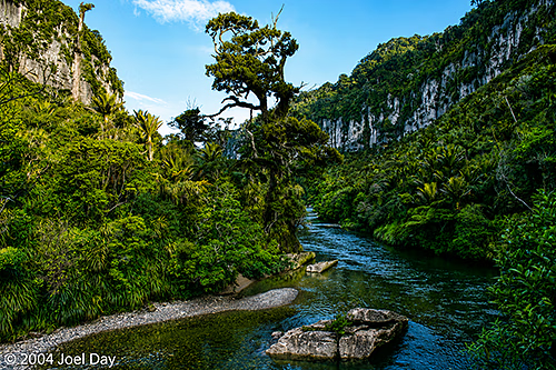
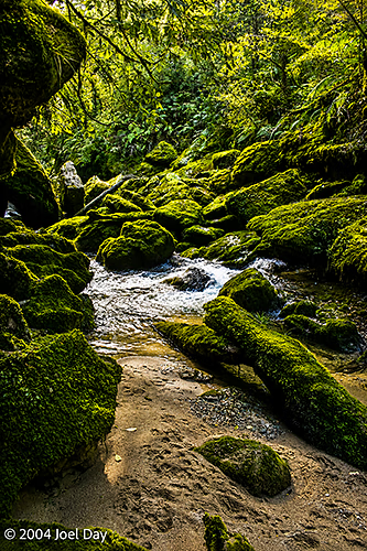
Pororari River, South Island, New ZealandWalking Track along Pororari River, South Island, New ZealandWalking Track along Pororari River, South Island, New Zealand
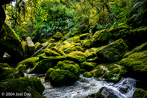
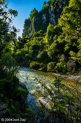
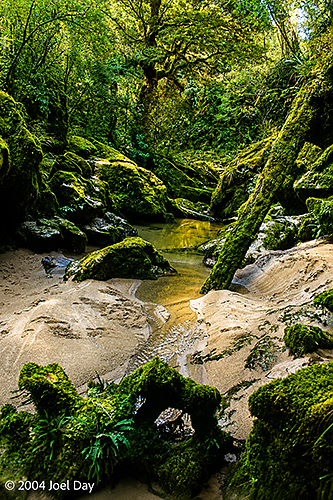
I did a couple of hikes up along creeks. One went to a creek source that emerged from a cave (“Cave Creek”), and the other to the beautiful Porarari River, which looked great for whitewater rafting, kayaking, or canoeing. I found out over dinner that 14 students died on an inappropriately constructed viewing platform there back in 1994 when it collapsed 40 meters into a chasm. Gulp! I think they’ve made sure it is safe enough now.
Pororari River, South Island, New ZealandPororari River, South Island, New ZealandPororari River, South Island, New ZealandPororari River, South Island, New ZealandPororari River, South Island, New ZealandPororari River, South Island, New ZealandCliffs along the Pororari River, South Island, New ZealandPororari River, South Island, New ZealandPororari River, South Island, New Zealand
I’m on my way to see some glaciers here on the South Island, and I’m stuck here in a classic New Zealand rain forest downpour, so I’ve finally found an excuse to catch up on my blog…
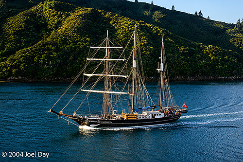
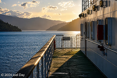
Tall Ship in Queen Charlotte Sound at the northern end of the South Island, New Zealand
After an hour delay on the ferry, we finally set sail from Wellington to Picton with everything imaginable on board. Trains, cars, tractor-trailers, campers, people, and sheep. Lots of sheep. The trains surprised me, actually. The entire lower floor of the ferry was reserved for train cars. Trains appear to just run from north to south in New Zealand, and hop on the ferry like everyone else. The sheep were actually in trucks and were nothing new to me, living in Fremantle (where there is a big, notorious live sheep export business to the Middle East).
Wellington-Picton Interislander Cook Strait Ferry traversing Queen Charlotte Sound at the northern end of the South Island, New Zealand
I managed to get into Picton a bit later than planned, but decided to make a mad dash to an interesting-sounding youth hostel in an old former elementary school house in Havelock. The school had a few famous graduates, including one chap who migrated to the U.S. and became a famous nuclear scientist. It was a nice place with lots of character. One very pleasing thing about this region of New Zealand is that it boasts more hours of warmth and sunshine than any other.
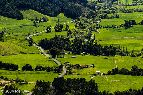
South Island, New Zealand
One thing I’ve quickly learned about travelling in New Zealand, unlike Australia, if a road sign says 50 km and the speed limit is 100 kph, that doesn’t necessarily mean you’ll get there in about 30 minutes. You have to contend with the possibility you’ll be on switchback roads up and down mountain peaks that will slow you down to around 40 kph (even though the posted speed limit might be 100 kph). My mad dash to Havelock ended up taking a lot longer than I thought and almost got me there too late.
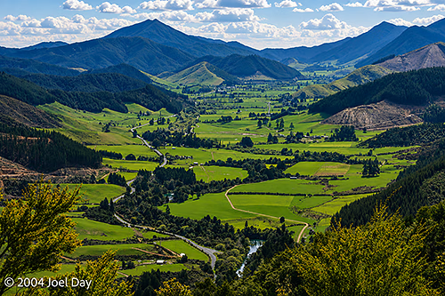
South Island, New Zealand
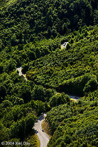
After spending the night in Havelock, I drove to Nelson in the beautiful warm sunshine and decided that I really wanted to take another crack at camping while I was in New Zealand. The weather certainly seemed right for it, so I aimed to get into the Abel Tasman National Park — which is famous for a multi-day coastal hiking trail and beautiful beaches. Unfortunately, I found myself getting caught up in another tediously long switchback pass over the “Takaka Hill”. Some hill! This road was gruelling enough to make any driver carsick.
Switchback Mountain Pass over Takaka Hill, South Island, New Zealand
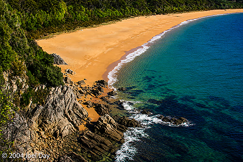
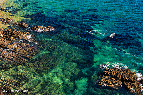
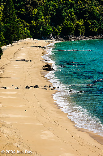
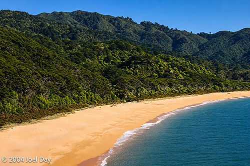
I finally managed to get to the outskirts of the park around sunset, and thought it a safer strategy to grab a tent site from a commercial campground than to try heading deep into the park to find the ideal one before dark. It wasn’t a bad spot. Right along a beach and not too cold. Just a bit of heavy dew in the morning. I drove into the park early and had breakfast in the camp area I was aiming for before taking a sample 3-hour hike along the coastal track. It was very nice, dipping down to beautiful beaches with bright yellow sand and then back up into the densely wooded hills from time to time. There were two sections of the trail that could only be used at low tide since they went across tidal mud flats. I’ve been told by several locals that these trails are packed with tourists in the summer months. I saw about 20 people with packs while I was there.
Abel Tasman National Park, South Island, New ZealandAbel Tasman National Park, South Island, New ZealandAbel Tasman National Park, South Island, New ZealandAbel Tasman National Park, South Island, New Zealand
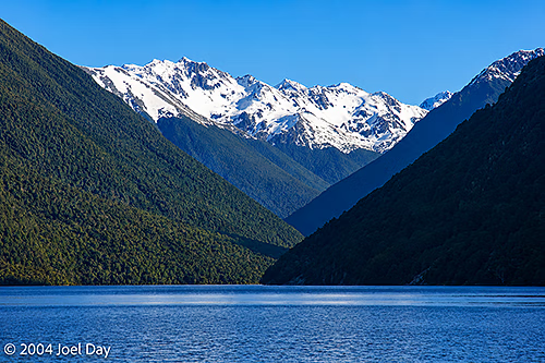
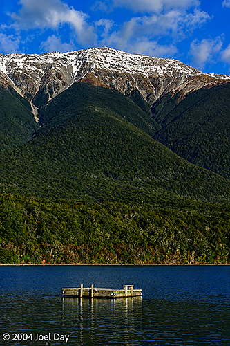
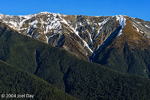
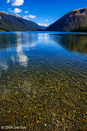
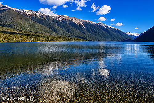
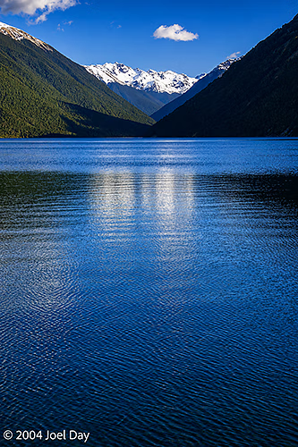
After my successful camping outside of Abel Tasman National Park (in Takapou), I decided to try my luck getting into the Nelson Lakes National Park camp groups to the south. The Nelson Lakes region is quite spectacular with snow-capped mountains dropping into crystal-clear lakes. I found hardly anyone there at this time of year and set up camp for the night. It seemed a bit chilly, but everything seemed to be going well until around 1 AM, when you could really start to feel the cold. By morning, there was a thick frost on everything — including my tent. I was freezing for most of the night, even though I was bundled up in a 3-season sleeping bag and a cheap, thick quilt I picked up in a supermarket. I think a lot of other campers were as uncomfortable as I was that night because I could hear a continuous unzipping and zipping of tents and sleeping bags around me.
Nelson Lakes National Park, South Island, New ZealandNelson Lakes National Park, South Island, New ZealandNelson Lakes National Park, South Island, New ZealandNelson Lakes National Park, South Island, New ZealandNelson Lakes National Park, South Island, New ZealandNelson Lakes National Park, South Island, New Zealand
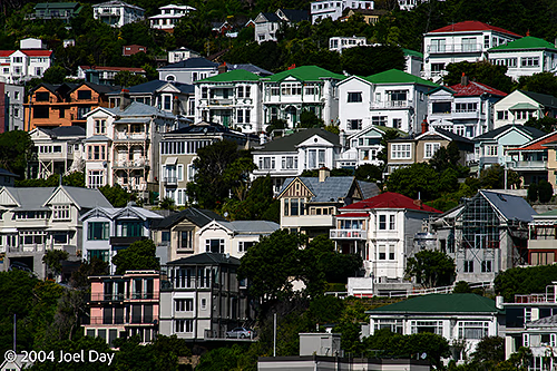
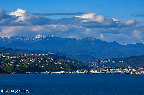
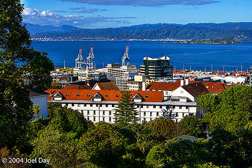
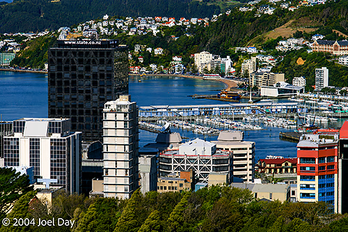
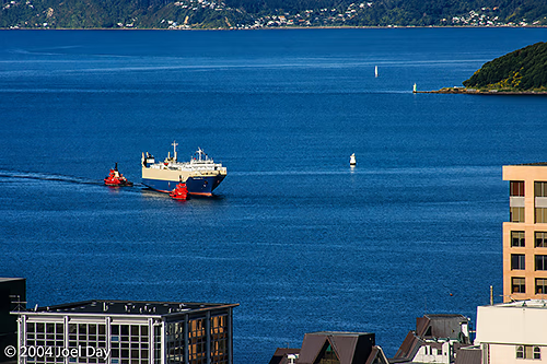
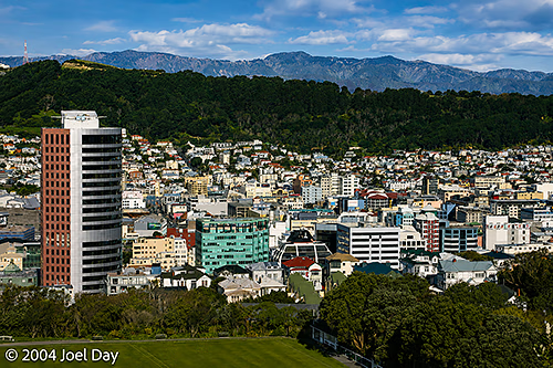
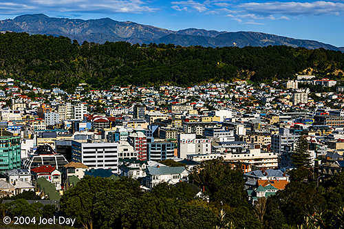
As I await my ferry to the South Island, I find myself in Wellington—the capital of New Zealand. Wellington’s is actually a very nice place. Maybe it’s just because I’m here on one of the few clear days they seem to get. It’s at the very southern end of the North Island on a harbour (obviously, if I’m catching my ferry from here) nestled in the mountains (some of them snow-capped). There are lots of nice homes built into the hill, much like San Francisco. In fact, it even has a cable car you can ride. It also has a nice downtown area that clings to the harbour’s curves.
Wellington Harbour, North Island, New ZealandWellington, New ZealandWellington, New ZealandWellington Harbour, North Island, New Zealand
I’m staying in a Youth Hostel that runs more like a big city hotel, with magnetic cards for keys and a room cleaning crew. Last night I stayed at another Youth Hostel in a town northwest of here that seemed more like a Bed & Breakfast. They sure have changed a lot since I first hosteled 17 years ago. I remember when you were expected to perform some sort of chore in exchange for your cheap fee. That seems totally unheard of today. You find all ages staying in hostels. There have been a few occasions when I was the youngest customer. There was one woman staying in this Wellington hostel who must have been in her 80’s! Lots of younger travellers seemed happy to look out for her and help her around. I think that’s why she probably liked it. I’ve also seen a number of families with little kids. I guess YHA found too much competition from independent hostels.
Wellington, New ZealandWellington, New Zealand
There was an often-quoted study conducted in Australia in the nineties that found that the big travel spenders were actually backpackers, not resort visitors. Backpackers stay longer in most countries and end up spending more, so a lot of new hostels have come on the scene looking to cash in.
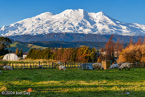
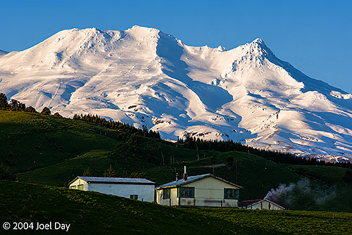
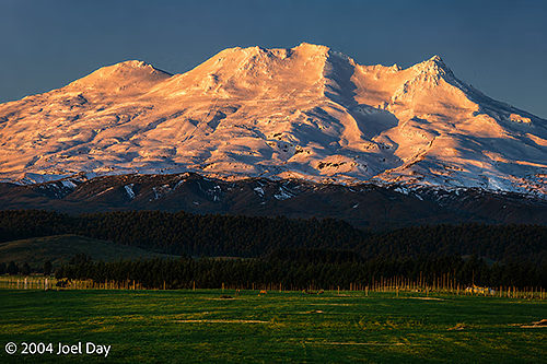
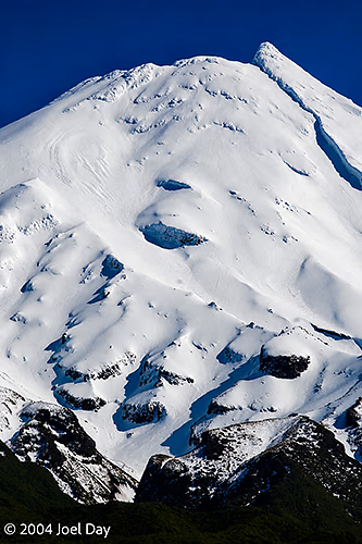
So I’ve now been to all the big volcanoes around the North Island. I found out today that they are, in fact, still active. The middle one last erupted in 1996, but no one was injured. I had breakfast with a guy from Canada this morning who told me he was talking with a woman who was skiing on it at the time. Boulders the size of cars were raining down, and the snow melted almost instantly. Fortunately, no one was injured. There have been fatal eruptions in previous years.
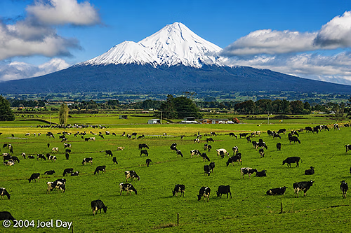
Grazing Cows near Te Papakura O Taranaki (Mount Egmont), North Island, New Zealand
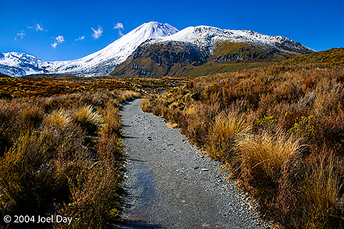
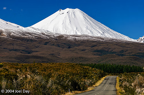
So I was hoping to do this hike on one of New Zealand’s most famous one-day treks (or tramps, as they call them around here) — but it was closed by the national park due to heavy winds. It is called the Tongariro Crossing, and it passes between two of the biggest mountain peaks on the North Island. I may be tempted to try again on my way back to Auckland after visiting the South Island. It takes you up past volcanoes and lakes (currently covered in snow). They have a bus service that brings people out first thing in the morning and picks them up eight hours later on the other side.
Tongariro Crossing, Mt Tongariro, North Island, New Zealand
I went to check out the starting and ending points today, anyway. The trail looks really tempting, but it was pretty cold, and the wind was making it feel a lot colder. I could have sworn I heard a loud rumble coming from the bigger of the two volcanoes when I was at the beginning of the trail. The sky was clear, so it was probably the volcano.
Mount Tongariro, North Island, New ZealandMount Tongariro, North Island, New Zealand
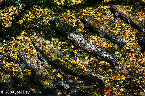
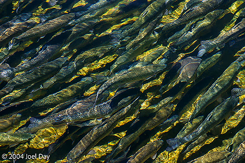
They have a neighbourhood fish hatchery I visited that claimed to be there in case of any natural disasters, “such as a volcanic eruption”. The hatchery was pretty cool. Lots of trout to see. Next to the mountains on the other side of a town called “Turangi” (where I spent the night) is a huge lake that is supposed to have some of the best trout fishing in the world.
Tongariro National Trout Centre, North Island, New ZealandTongariro National Trout Centre, North Island, New Zealand
I find myself in “New Plymouth” tonight, which has turned out to be a pretty cool little town on the west coast. Lots of interesting little restaurants and a brand-new, very long, and funky coastal walkway that would have impressed Dad with its design. There is another huge volcano just south of here that you are supposed to be able to see from the city, but I haven’t seen it yet because of the clouds. Hopefully, I will be able to hike there tomorrow on my way south towards Wellington. The drive here took me on some deserted back gravel roads that finally gave me the chance to appreciate the place without having impatient drivers tailgating me.
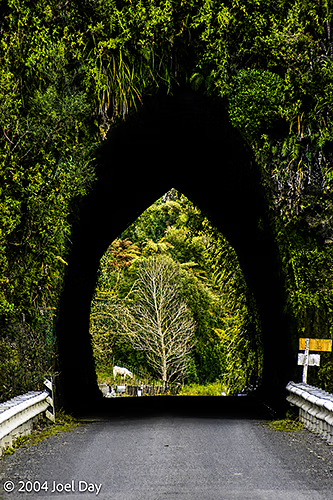
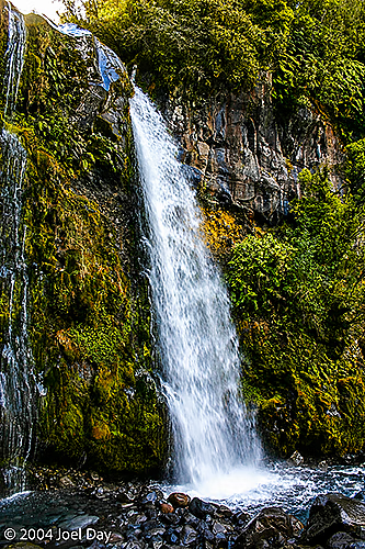
Te Papakura O Taranaki (Mount Edgemont), North Island, New ZealandOne Lane Tunnel, North Island, New ZealandGrazing Cows near Te Papakura O Taranaki (Mount Egmont), North Island, New ZealandTe Rere o Kapuni (Dawson Falls), Taranaki, North Island, New ZealandTe Papakura O Taranaki (Mount Egmont), North Island, New ZealandTe Papakura O Taranaki (Mount Egmont), North Island, New Zealand
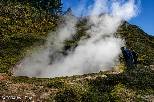
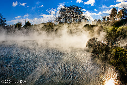
Geothermal Pools around Rotorua, North Island, New Zealand
Ohhhh boy, this place smells. Pee-you! You get wafts of it, anyway. It’s Rotorua, home to New Zealand’s largest group of geothermal springs, which sometimes smell of sulphur. I haven’t had the luxury of a soak yet, but I will have that opportunity tomorrow. People swear by its medicinal properties.
Geothermal Pools around Rotorua, North Island, New Zealand
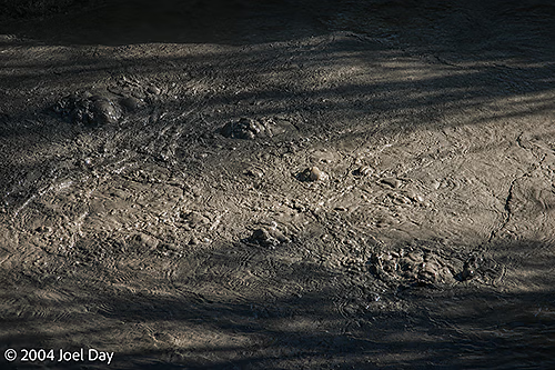
It’s pretty cool to think the Earth’s magma is close enough to the surface to make the groundwater steam. Baby volcanoes are making their way to the surface. There are lakes of mud in the area that appear to be boiling, but they are really just belching gas.
Bubbling Mud in Geothermal Pools around Rotorua, North Island, New Zealand
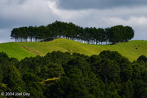
I spent last night in a hostel in Coromandel, on a peninsula east of Auckland. A very scenic area amongst some rugged mountains. The drive up and down the peninsula’s roads was spectacular, with very winding, twisty switchbacks. Unfortunately, the locals (or visiting weekend yuppies from Auckland) were very impatient and seemed to just want to drag race the whole thing. Some are incredibly rude. I used to get waves from fellow drivers in remote parts of Australia. Now I get the finger from drag racing New Zealanders for not getting out of their way fast enough. I had to keep pulling over to let people pass. It was very frustrating.
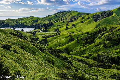
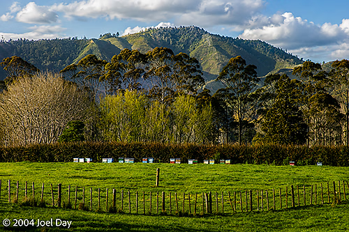
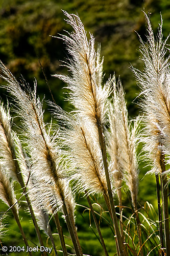
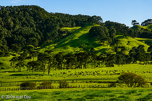
Coromandel Peninsula, North Island, New ZealandBeehives and farmland along the Coromandel Peninsula, North Island, New ZealandPampas Grass (Cortaderia selloana) along Coromandel Peninsula, North Island, New ZealandFarmland along the Coromandel Peninsula, North Island, New ZealandWindbreak on farmland along the Coromandel Peninsula, North Island, New Zealand
That’s my first disappointment with New Zealand. For a country with a population of 4 million, I feel like I’ve already met half of them on the road. I’m hoping there are fewer people the further south I get.
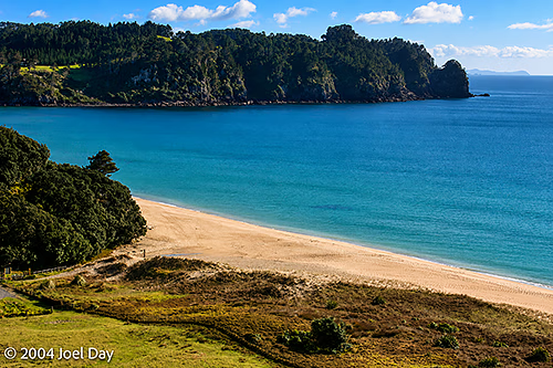
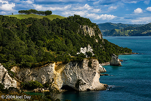
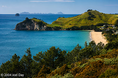
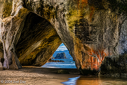
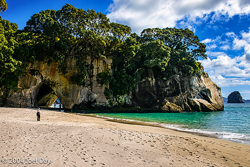
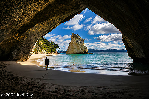
I have managed to get a few short hikes in on the East/Pacific coast today. One was a ninety-minute hike down to a beach known as “Cathedral Cove”, and the other was another hour around Mount Maunganui (which is actually in a city, where it juts out of the harbour). One problem with taking such hikes is the fear of having your car broken into. Travel guides warn you. Signs are posted in parking lots. There is the occasional pile of broken glass on the pavement. You can only hope it doesn’t happen to you. Unfortunately, you can never completely relax while you’re out hiking.
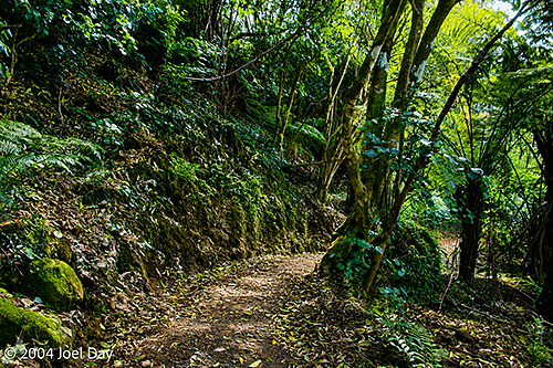
Coromandel Peninsula, North Island, New ZealandCoromandel Peninsula, North Island, New ZealandCoromandel Peninsula, North Island, New ZealandHiking trail to Te Whanganui-A-Hei (Cathedral Cove) Marine Reserve, North Island, New ZealandTe Whanganui-A-Hei (Cathedral Cove) Marine Reserve, North Island, New ZealandTe Whanganui-A-Hei (Cathedral Cove) Marine Reserve, North Island, New ZealandTe Whanganui-A-Hei (Cathedral Cove) Marine Reserve, North Island, New ZealandAlong hiking trail to Te Whanganui-A-Hei (Cathedral Cove) Marine Reserve, North Island, New Zealand
After a splash in the thermal pools of Rotorua tomorrow, I’m planning to aim for Tongariro National Park (smack dab in the middle of the North Island), where there is a famous all-day hike everyone talks about. I’m not sure if it’s the right season for it, but I’m hoping to do it on Monday or Tuesday. After that, there is a cool-looking volcano named Mount Egmont on the west coast that I hope to check out before visiting Wellington (on the southern end of the North Island) and catching a ferry to the South Island on Thursday (where all the LOTR stuff was filmed). I have found out where the “Piano” beach is, by the way, but have no intention of visiting there. It’s not far from Auckland on the west side — but not on my way.
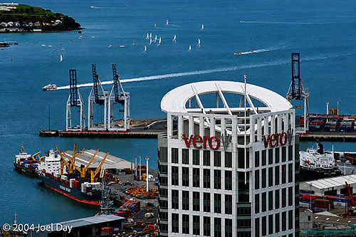
Greetings from Auckland, New Zealand. Another former home of the America’s Cup (after Fremantle). I was here once in 1987, and I can see how they’ve sunk millions of dollars into their harbour in hopes of becoming a long-time America’s Cup host. Unfortunately, they just lost it to the Swiss (?) last year. Actually, they lost it to a New Zealander who was hired by the Swiss — which was obviously a bit controversial around these parts. But then again, the America’s Cup has become all about money, anyway.
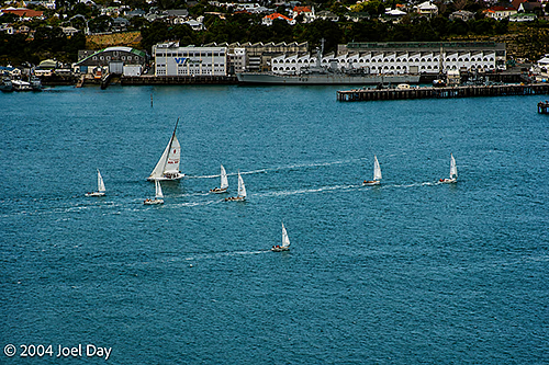
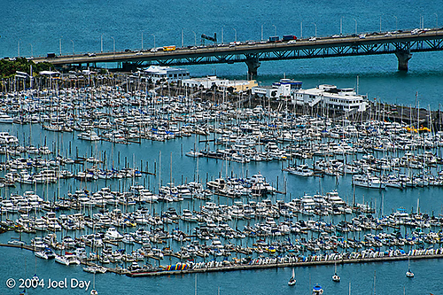
Sailboats in Auckland, New ZealandWesthaven Marina, Auckland, New Zealand
I seem to have picked a great time to visit this place. The weather doesn’t seem too harsh, but the summer tourists haven’t shown up yet. The benefit is that all the car rental companies and accommodation providers are desperate for business and have slashed their prices (up to 2/3’s in some cases).
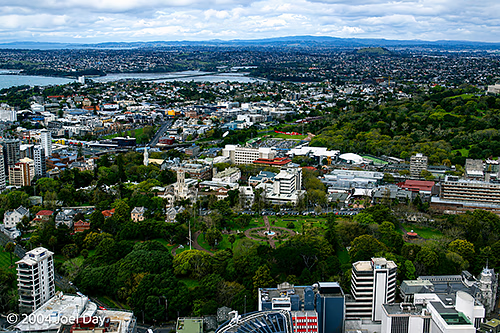
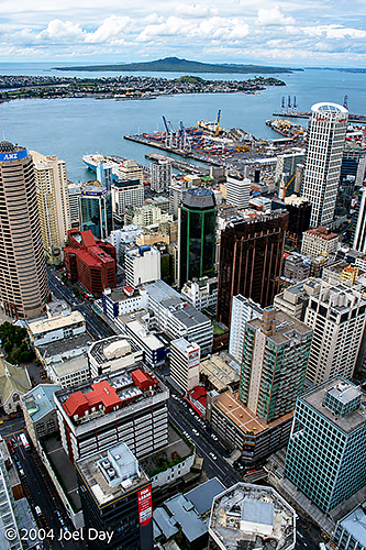
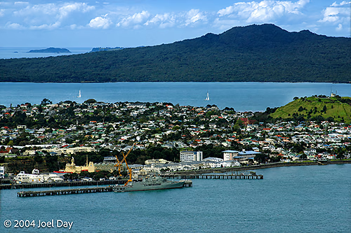
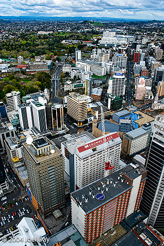
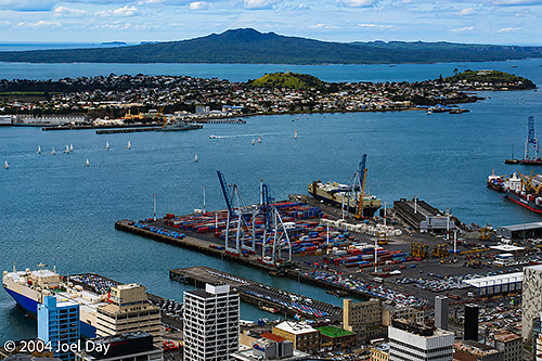
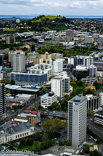
Auckland, New ZealandAuckland, New ZealandAuckland, New ZealandAuckland Harbour, Auckland, New ZealandAuckland, New ZealandAuckland, New Zealand
My Lonely Planet guide advises not even thinking about visiting Auckland without reservations at one of the hostels. I, being the organised traveller that I am, decided to rock up and take my chances (just like in 1987, I might add — except back then I only had 10 cents in my pocket. Literally! That’s another story). I called one of the YHA’s from the airport, and they were happy not only to take me in but also to give me my own room. And they only charged me as though I was sharing it with someone because business was so slow. They told me I would be better off because it was unlikely anyone else would show up, anyway. Peak tourist season in New Zealand is between November and May (?).
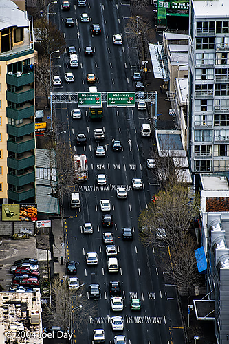
Auckland City Street, Auckland, New Zealand
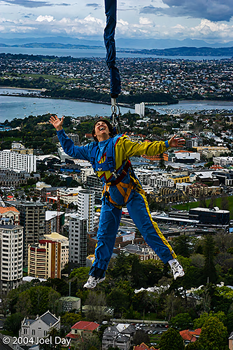
Auckland’s main drag seems a tad grittier than Perth’s, but it has a nice, big city feel to it. They have a space-needle-type thing, which they claim is the tallest building in the Southern Hemisphere. I was given the opportunity to bungee jump off it and declined — but I did see two others jump (including an old guy). They dangle them in front of the observation deck before dropping them to the bottom.
Bungee Jumper on Auckland Sky Tower, Auckland, New Zealand
The main strip in Auckland is loaded with Japanese, Korean, and Chinese restaurants. I went for a fabulous Korean pork barbecue tonight. Daniel can attest to Korean barbeques living near Koreatown, Los Angeles. For lunch, I had a nice South Pacific seafood chowder down by the wharf. Mmmmm… Tomorrow it’s back to sardines and instant noodles, I suppose.
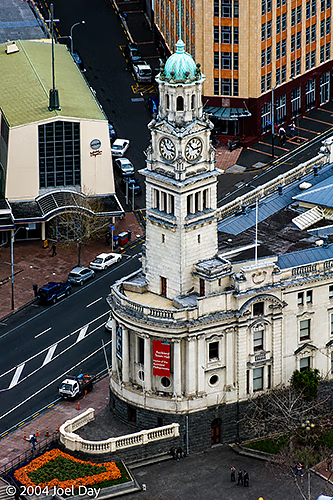
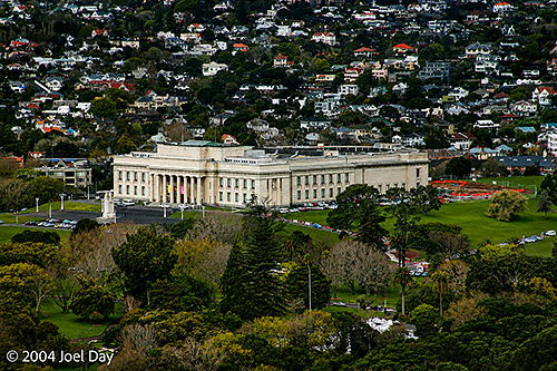
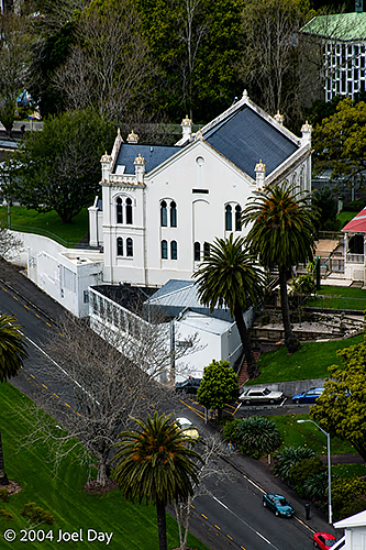
Auckland Town Hall, Auckland, New ZealandAuckland Museum, Auckland, New ZealandUniversity of Auckland University House, Auckland, New Zealand
There are also lots of Yanks about. Something I’m not used to. Must have something to do with those Lord of the Rings movies…
I’ve organised a car rental for the next few weeks. Prices vary quite widely, but they’re all pretty cheap right now. The key was finding one that would help me get to the South Island easily (where the REALLY spectacular stuff is). I finally found one that has a dropoff/pickup at the ferry terminals on both islands, so I don’t have to pay the hundreds of dollars I would have had to pay with the cheaper car rental companies to get the car back and forth. It’s a 3+ hour ferry ride.
I will start heading south tomorrow (since I only went north in 1987). I figure about a week on the North Island and about 12 days on the South Island.
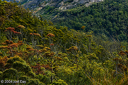
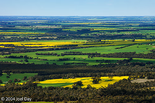
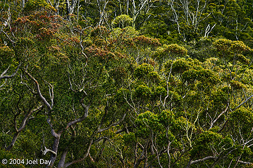
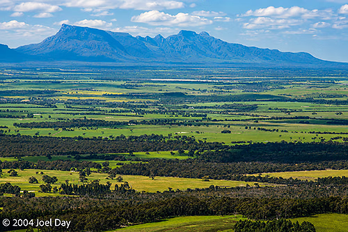
At long last, I’ve found myself back in Fremantle. Home again, home again, jiggedy jig! I spent my last day hiking through Porongurup National Park, near Albany, Western Australia.
View from the top of Porongurup National Park, near Albany, Western AustraliaView from the top of Porongurup National Park, near Albany, Western AustraliaView from the top of Porongurup National Park, near Albany, Western AustraliaView from the top of Porongurup National Park, near Albany, Western AustraliaView of Stirling Range National Park from the top of Porongurup National Park, near Albany, Western Australia
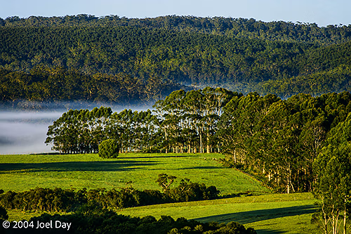
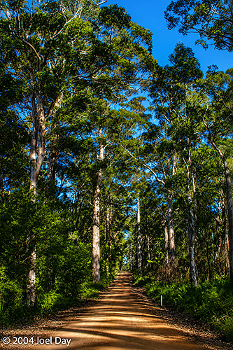
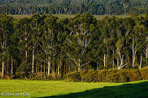
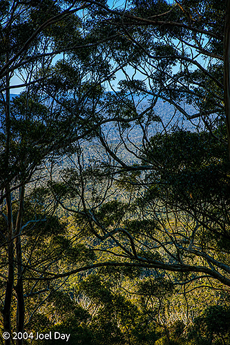
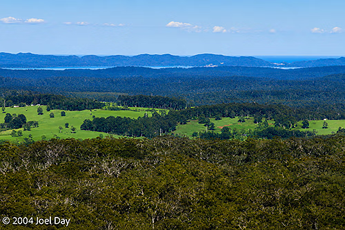
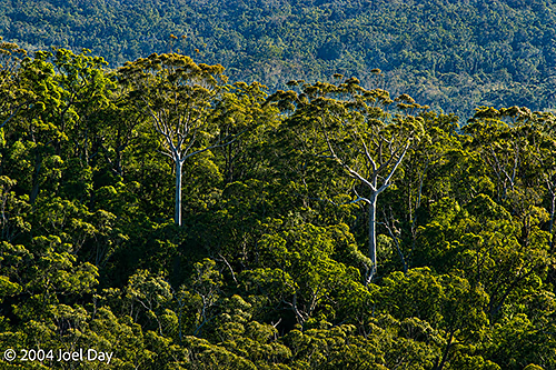
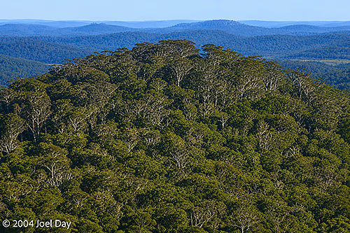
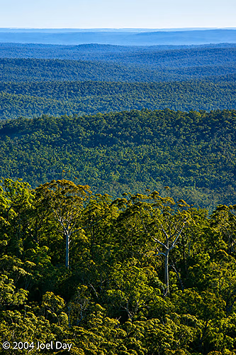
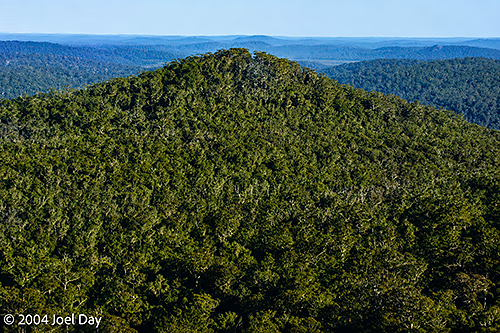
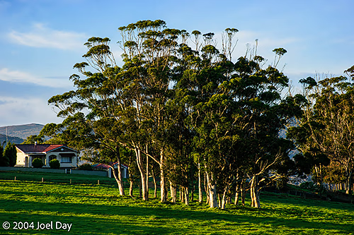
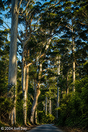
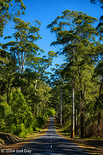
And my last night away in Walpole on the southwest coast of Western Australia — in the heart of the giant Karri forests. Of all the places I’ve visited around Australia, it is still one of the most beautiful, although a bit cold this time of year. I actually found a quarter inch of ice on my windshield in the morning and couldn’t get it off (since we don’t have ice scrapers here). I had to resort to turning the car into the morning sun and running the defroster for a while.
Karri Tree forests in and around Mount Franklin National Park near Walpole, Western AustraliaKarri Tree forests in and around Mount Franklin National Park near Walpole, Western AustraliaKarri Tree forests in and around Mount Franklin National Park near Walpole, Western AustraliaPath to the top of Mount Franklin near Walpole, Western AustraliaKarri Tree forests in and around Mount Franklin National Park near Walpole, Western AustraliaKarri Tree forests in and around Mount Franklin National Park near Walpole, Western AustraliaKarri Tree forests in and around Mount Franklin National Park near Walpole, Western AustraliaKarri Tree forests in and around Mount Franklin National Park near Walpole, Western AustraliaKarri Tree forests in and around Mount Franklin National Park near Walpole, Western AustraliaKarri Tree forests in and around Mount Franklin National Park near Walpole, Western AustraliaKarri Tree forests in and around Mount Franklin National Park near Walpole, Western AustraliaKarri Trees along Southwestern Highway near Walpole, Western AustraliaKarri Trees along Southwestern Highway near Walpole, Western Australia
The past few days in Fremantle have been quite hectic, with six weeks of mail to catch up on and serious cleaning and repacking to do. With about nine hours to go before my red-eye flight to Auckland, New Zealand (via Sydney), I’m happy to say I’ve finished all my errands and made everything I’m travelling with fit into my backpack.
I will be spending the next three weeks in New Zealand and will write from there soon!

You must be logged in to post a comment.