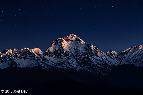
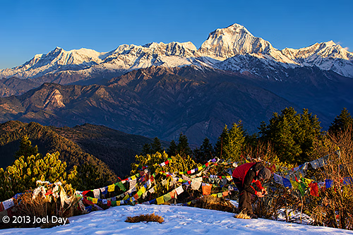
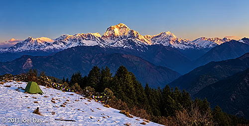
Dhaulagiri I (8,167 m), the world’s seventh-highest mountain, illuminated by moonlight before sunrise, viewed from Poon Hill, Gandaki Province, Nepal
My day started at 5 AM, or earlier, because I didn’t sleep well. Altitude? Waiting for my alarm to ring? Probably a combination of both. We started at 5 AM so we could reach Poon Hill before sunrise and see the spectacle of morning light on the Himalayas.
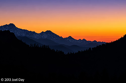
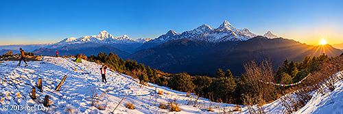
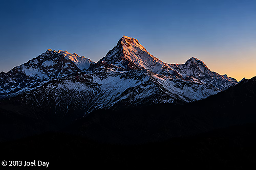
Pre-dawn Himalayan mountain silhouettes beneath a colourful sunrise sky, viewed from Poon Hill (3,210 m), Gandaki Province, NepalSunrise over the Annapurna Himalayas from Poon Hill (3,210 m), Gandaki Province, Nepal — featuring Annapurna I (8,091 m, world's 10th highest), Annapurna South (7,219 m) and Machapuchare (6,993 m), with Dhaulagiri I (8,167 m) in the distanceAnnapurna South (7,219 m), illuminated by the first light of dawn, viewed from Poon Hill (3,210 m), Gandaki Province, Nepal
Of course, everyone does this, so scores of trekkers were aiming for the same peak in ice-cold darkness. It snowed up here a week ago, maybe about a foot. The trails along the ridge overlooking the Annapurna Range were now sheets of ice from hikers and some daytime melting. Getting up Poon Hill was steep and slippery, but after sunrise we had to descend for breakfast and bags so we could continue along the circuit toward Annapurna Base Camp.
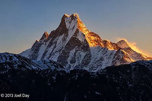
Dhaulagiri I (8,167 m), the world’s seventh-highest mountain, towering above the Himalayan foothills, with colourful Buddhist prayer flags in the foreground, viewed from Poon Hill (3,210 m), Gandaki Province, NepalFirst light of sunrise illuminating Dhaulagiri I (8,167 m), the world’s seventh-highest mountain, and the surrounding Dhaulagiri Himal, viewed from snow-covered Poon Hill (3,210 m), Gandaki Province, NepalSunrise illuminating the distinctive twin summit of Machapuchare (Fishtail Mountain, 6,993 m), viewed from Poon Hill (3,210 m), Gandaki Province, Nepal
For a while, I thought hiking in the snow was challenging and fun, but after about 5 slips and falls, and a gashed open hand from a sharp rock as I tried to brace myself, I just wanted to get back below snow level. It was an extremely treacherous section that everyone was really struggling with. At one point, my guide took off his shoes and socks and put them back on, socks over shoes. It worked! He didn’t slip for most of the rest of the descent.
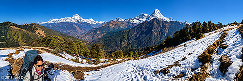
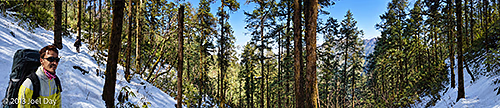
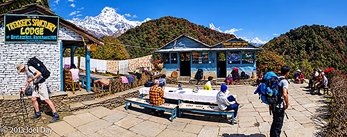
Panoramic view of Dhaulagiri I (8,167 m), the world’s seventh-highest mountain, on the left, and Machapuchare (Fishtail Mountain, 6,993 m) on the right, above the snow-covered trekking trail between Poon Hill and Banthanti, Annapurna region, Gandaki Province, NepalSnow-covered forest trail winding through tall Himalayan trees on the trek from Poon Hill towards Banthanti, Annapurna region, Gandaki Province, NepalTrekkers resting at Green Shankar Lodge and Restaurant, a mountain teahouse surrounded by flowering rhododendrons, with snow-covered Himalayan peaks in the background, along the trekking route from Poon Hill towards Banthanti, Annapurna region, Gandaki Province, Nepal
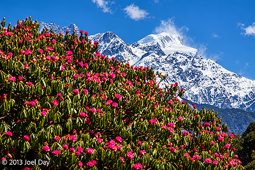
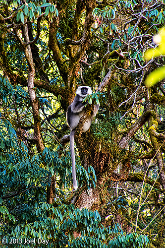
I would say today was my hardest day so far, with three steep ascents and the ice and snow. Most of the trail ran through forest, with views of snow-capped peaks between the branches. Huge forests of rhododendron trees will probably burst into bloom here in two weeks. Some trees are open, and many others have red buds starting to open. On our hike today, we also saw wild orchids, wild monkeys, and a deer (evidently rare; my guide had never seen one while trekking before).
Brilliant pink Himalayan rhododendrons (Rhododendron arboreum) flowering against the snow-covered peaks of the Annapurna Himalayas, along the trekking trail from Poon Hill towards Banthanti, Gandaki Province, NepalHimalayan grey langur (Semnopithecus schistaceus) perched in a moss-covered rhododendron tree along the trekking trail from Poon Hill towards Chuile, Annapurna Conservation Area, Gandaki Province, Nepal
Day 3 Hike of the Annapurna Circuit
Map of the route “Annapurna Trek Day 3: Today’s word is Treacherous”: 23,360 m, 980 m of climbing and 1,461 m of descent, elevation between 2,290 m and 3,102 m, time 09:53:03. It starts at 28.40319, 83.69986 and ends at 28.40453, 83.77869 (latitude, longitude).
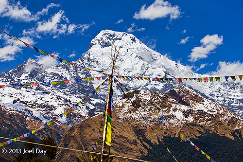
Colourful Buddhist prayer flags fluttering beneath the towering snow-covered summit of Annapurna South (7,219 m), viewed along the trekking trail from Ghorepani towards Chuile, Annapurna Conservation Area, Gandaki Province, Nepal
At one point, while struggling up a steep hill, I told my guide I would never have survived the Everest Base Camp hike. Today, we reached a peak altitude of 3101m (a bit over 10,000 feet), and I found it very hard to climb. The Everest Base Camp reaches an altitude of 5500m (18,000 feet). He said I wouldn’t have had any problem with the Everest Base Camp hike because it takes longer and has a much more gradual ascent, which lets you acclimatise much better. You are supposed to climb only 300 meters a day at higher altitudes, but because the Annapurna Circuit is so hilly, they have no choice unless hikers really only want to hike 2 hours a day.
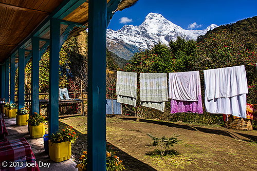
Sunlit veranda of a Himalayan trekking guesthouse near Chuile, with colourful potted plants, laundry drying in the mountain sunshine and spectacular views of the snow-covered Annapurna Himalayas, Annapurna Conservation Area, Gandaki Province, Nepal
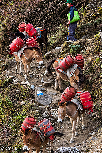
By evening, only one couple from Israel showed up at the guesthouse (at about 2500m), also extremely fatigued from the day’s hike. We were also inundated with donkeys home from a tough day on the trails, ecstatic to have some time off. I’ve never seen mules roll around in the grass and run and play before.
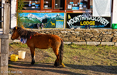
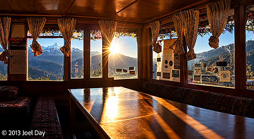
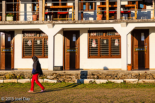
Pack mules carrying supplies in red panniers, accompanied by their handler, along a steep, rocky mountain trail between Ghorepani and Chuile, Annapurna Conservation Area, Gandaki Province, NepalA brown Himalayan pack pony standing outside Mountain Discovery Lodge and Restaurant in Chhuille (Chuile), Annapurna Conservation Area, Gandaki Province, NepalLate afternoon sunlight streaming through the windows of a traditional Himalayan trekking guesthouse near Chuile, with panoramic views of the Annapurna mountains and surrounding valleys, Annapurna Conservation Area, Gandaki Province, NepalLate-afternoon sunlight illuminating a traditional Himalayan trekking guesthouse near Chuile, with a woman walking across the grassy courtyard, Annapurna Conservation Area, Gandaki Province, Nepal
Now halfway back down the mountain, tomorrow is supposed to be a short hiking day with a hot springs visit in the afternoon. Looking forward to that!
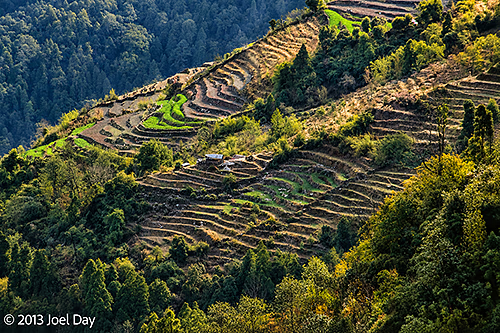
Traditional terraced farmland and scattered mountain villages on the steep Himalayan hillsides between Ghorepani and Chuile, Annapurna Conservation Area, Gandaki Province, Nepal