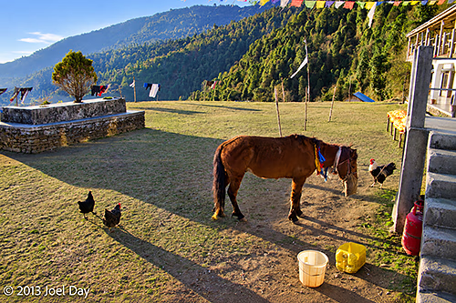
After a long recuperation, sleep in a below-average guest house… Well, it was okay except for all the guest signs and rules, including “do not put packs on beds.” Which begs the question: If their beds can’t handle my pack, how will they handle me? It was in a nice spot overlooking a big river valley and received some nice warm morning light. Hardly any other trekkers, save an Israeli couple. I asked for cornbread with my breakfast and got a huge fried pastry, like a papadon, made with corn and sprinkled with sugar, which was quite nice.
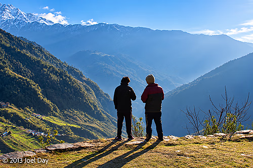
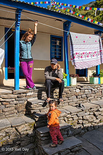
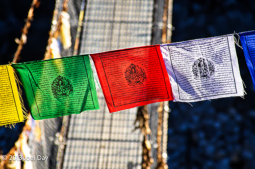
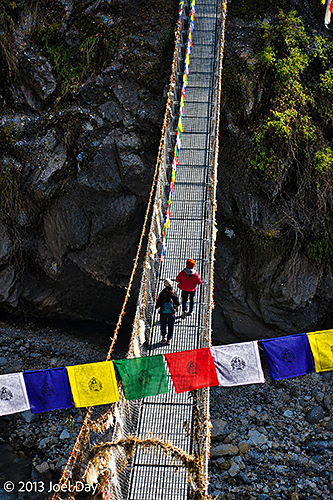
From about 2/3 up the mountain, our trek led us straight down many switchbacks and stairs to a suspension bridge over a river, then back up the other side. Eventually we reached a stretch wiped out by a monsoon landslide four years ago, and we had to take a huge detour way up to a higher altitude than where we started.
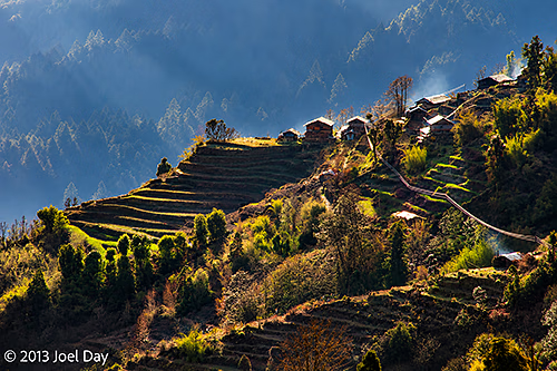
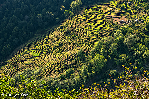
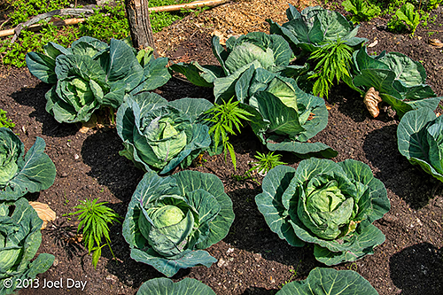
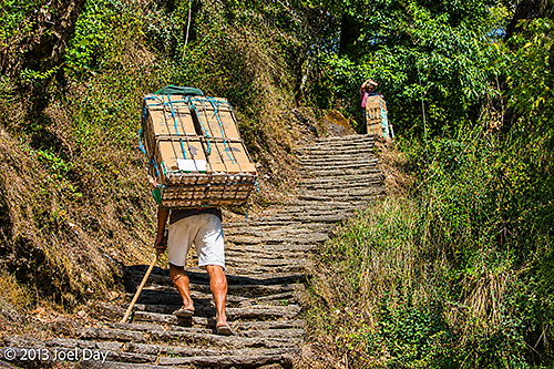
Along the way, we saw terraced farming plots of wheat and other crops, including some marijuana. It was amazing to think these people spent their days working their way up and down these huge mountainsides. We occasionally came across couriers with massive packs of fragile cargo on their backs, like eggs or bottled drinks, that couldn’t be trusted on a mule’s back.
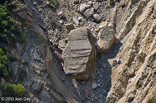
Several massive landslides in the area claimed many lives. One in particular left a huge rock, about the size of a four-story office building, lying halfway down the hill. There were many memorials next to the track for those villagers who died in the landslides.
Day 4 Hike of the Annapurna Circuit
Map of the route “Annapurna Trek Day 4: And more stairs!”: 11,342 m, 452 m of climbing and 953 m of descent, elevation between 1,808 m and 2,301 m, time 03:55:22. It starts at 28.40462, 83.77573 and ends at 28.40998, 83.82424 (latitude, longitude).
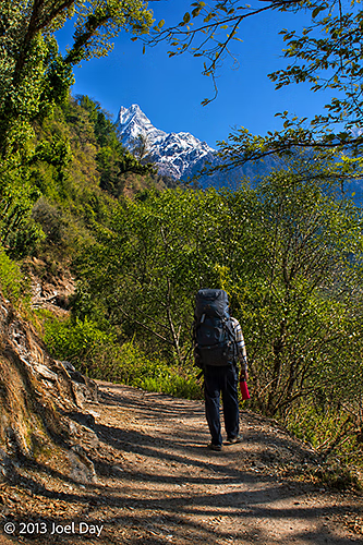
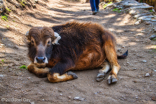
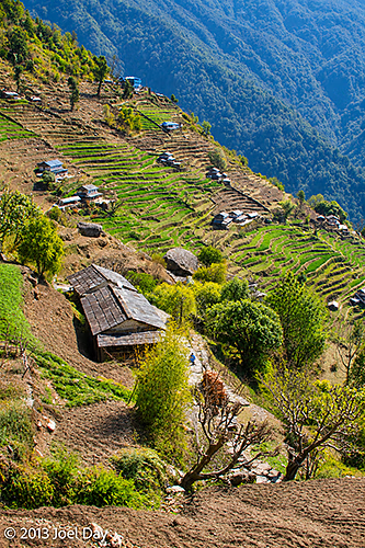
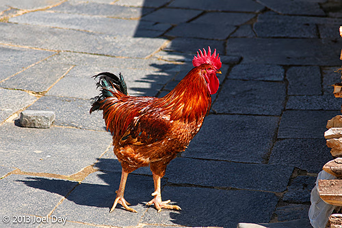
We arrived at another wonderful guesthouse around noon with amazing views of snowy peaks and deep river valleys. Plus, my room had an attached bathroom, a big bed, and private mountaintop views. Probably the nicest guesthouse yet. And it was just a 20-minute walk from some wonderful hot spring pools. It’s about 1800m above sea level.
Hot Springs Hike
Map of the route “Annapurna Trek Day 4: And more stairs!”: 874 m, 1 m of climbing and 162 m of descent, elevation between 1,641 m and 1,794 m, time 00:19:20. It starts at 28.40998, 83.82462 and ends at 28.41552, 83.82925 (latitude, longitude).
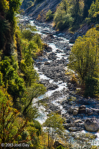
My legs have become very stiff and sore, and my feet have finally bubbled up a few blisters from all the steep stair climbing and descents, and the hot springs sounded like just the ticket to treatment. Unfortunately, they were straight down another long set of never-ending stairs to river level. We spent about an hour soaking, and my legs felt much better in the end. The pools were man-made along a beautiful, ice-cold snowmelt river. During the summer monsoon season, the flooded-out river destroys the baths, so they rebuild them every spring and collect a small entrance fee to finance the annual construction.
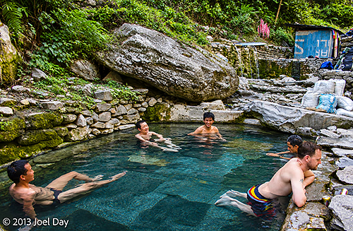
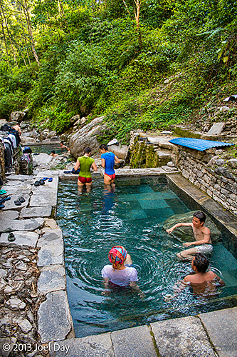
The climb back up seemed a lot easier. Back at the guesthouse, the manager is a good friend of my guide from ten years ago, so they enjoy each other’s company. The manager is also one of the better cooks I’ve met on this trek, so I’m quite happy.
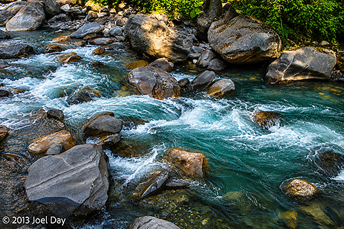
Tomorrow we finish our trek by following the beautiful, crystal-clear snowmelt river back to where we started, hopefully with minimal hills. I haven’t heard a car horn in 4 days, and I’m savouring the tranquillity before we get back to Pokhara and its traffic.
