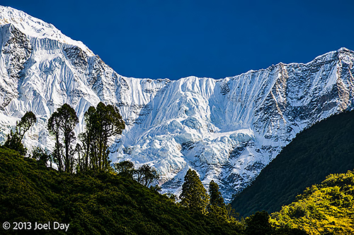
Snow-covered peaks and dramatic glacial slopes of the Annapurna massif, viewed along the trekking route between Jhinu Danda and Birethanti, Annapurna Conservation Area, Nepal
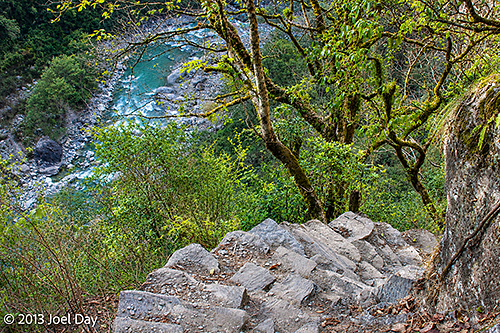
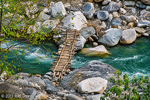
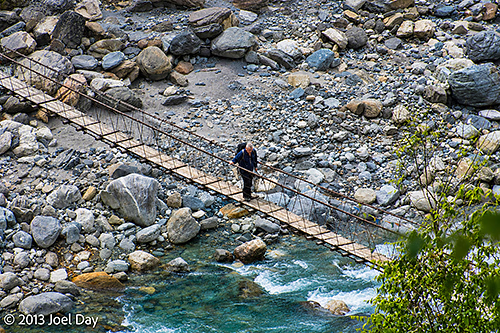
The final day of my Annapurna Trek was pretty straightforward. Up early for breakfast, down another steep staircase to the river to cross a bridge, back up the other side, rinse, and repeat.
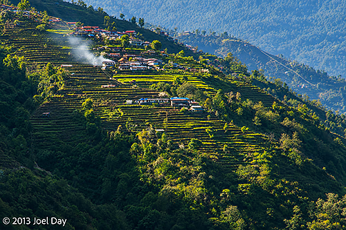
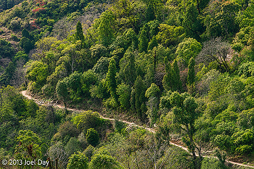
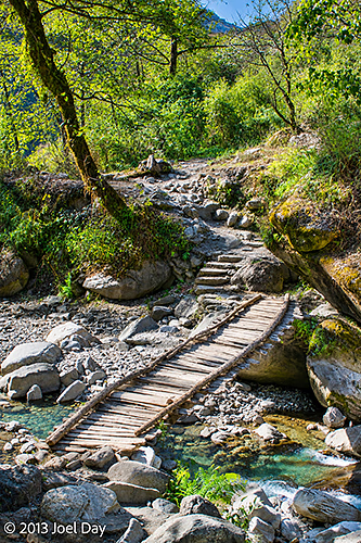
Traditional Nepalese hillside village surrounded by extensive terraced agricultural fields, illuminated by afternoon sunlight along the trekking route between Jhinu Danda and Birethanti, Annapurna Conservation Area, NepalSteep stone steps descending through lush Himalayan forest towards a turquoise mountain river, along the trekking route between Jhinu Danda and Birethanti, Annapurna Conservation Area, NepalTraditional wooden footbridge spanning a fast-flowing turquoise mountain stream, surrounded by large river boulders, along the trekking route between Jhinu Danda and Birethanti, Annapurna Conservation Area, NepalMountain trekking trail winding through lush subtropical forest on the steep Himalayan hillsides between Jhinu Danda and Birethanti, Annapurna Conservation Area, NepalLocal pedestrian crossing a narrow suspension footbridge over a fast-flowing, boulder-strewn mountain river, along the trekking route between Jhinu Danda and Birethanti, Annapurna Conservation Area, Nepal
Eventually our track widened to a roadway where a half dozen 4wd vehicles hung around waiting for tired hikers to ferry out. We passed them and continued as the road gradually became one long decline back along the river to where we started 5 days ago.
Day 5 Hike of the Annapurna Circuit
Map of the route “Annapurna Trek Day 5: The Finish Line”: 20,178 m, 428 m of climbing and 1,028 m of descent, elevation between 1,105 m and 1,707 m, time 05:50:35. It starts at 28.41023, 83.82436 and ends at 28.30957, 83.77464 (latitude, longitude).
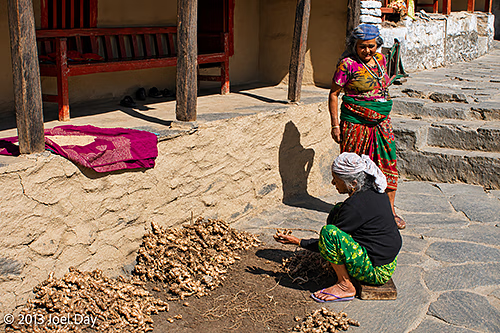
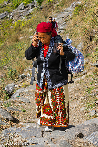
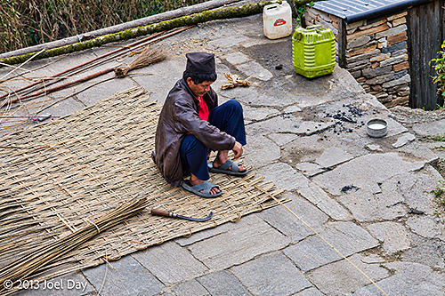
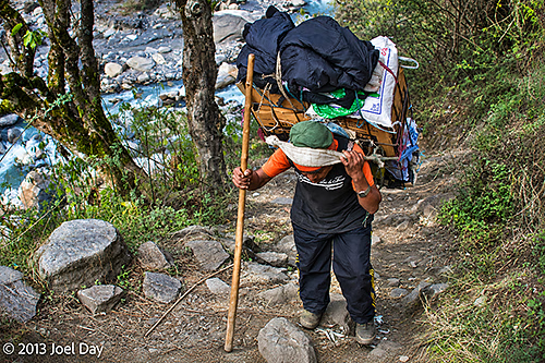
Overall, quite a spectacular hike. It was also very interesting to pass through all the villages and see how many Nepalese earn their keep.
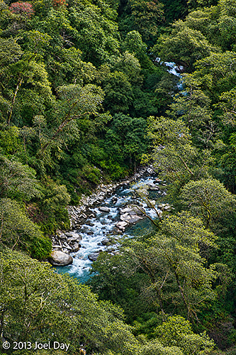
Two Nepalese women in colourful traditional clothing sorting and drying freshly harvested ginger outside a village house, along the trekking route between Jhinu Danda and Birethanti, Annapurna Conservation Area, NepalLocal Nepalese woman wearing colourful traditional clothing and carrying a large bundle along a steep stone trekking path while talking on mobile phone between Jhinu Danda and Birethanti, Annapurna Conservation Area, NepalLocal Nepalese craftsman weaving a traditional bamboo mat by hand in a stone-paved village courtyard, along the trekking route between Jhinu Danda and Birethanti, Annapurna Conservation Area, NepalTraditional wooden footbridge spanning a fast-flowing turquoise mountain stream, surrounded by large river boulders, along the trekking route between Jhinu Danda and Birethanti, Annapurna Conservation Area, NepalLocal Nepalese porter carrying a heavily laden traditional wicker basket (doko), supported by a forehead strap (namlo), along a steep, rocky mountain trail between Jhinu Danda and Birethanti, Annapurna Conservation Area, NepalMountain stream cascading through a densely forested valley in the Himalayan foothills, along the trekking route between Jhinu Danda and Birethanti, Annapurna Conservation Area, Nepal
One bit of irony: passing through countless villages that rely on spring water to drink and mules for deliveries, they always had power 24 hours a day, 7 days a week. Here in Pokhara, I’ve been back now for six hours and still have no power. It seems to be off more than it’s on. How do the villages get power?
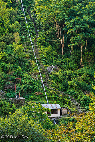
Small hydroelectric power station, possibly a micro-hydropower installation, with a steeply descending penstock on a forested hillside between Jhinu Danda and Birethanti, Annapurna Conservation Area, Nepal
They generate their own electricity through micro-hydroelectric generators that use channelled water from nearby streams. We passed quite a few of them. Each required substantial work to set up and could power only about 40 homes, but they’re lucky to have power when they need it.
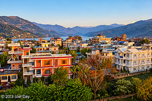
Now back in Pokhara, in my choice room with spectacular views, my legs are very sore and sick of stairs! I do have a bathtub which I should put to use.
Early morning view across Pokhara, Nepal, showing colourful residential buildings, lush green gardens and surrounding forested hills, with the snow-capped Annapurna Himalaya visible in the distance
Full 5 Day Ghorepani & Poon Hill Annapurna Circuit Hike
Map of the route “Annapurna Trek Day 5: The Finish Line”: 88,324 m, 3,931 m of climbing and 3,881 m of descent, elevation between 1,026 m and 3,102 m, time 99:20:13. It starts at 28.29621, 83.76791 and ends at 28.30957, 83.77464 (latitude, longitude).