Tasmanian Devil Conservation Park, Tasman Peninsula, Tasmania
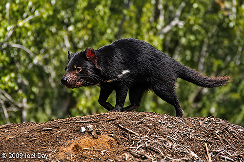
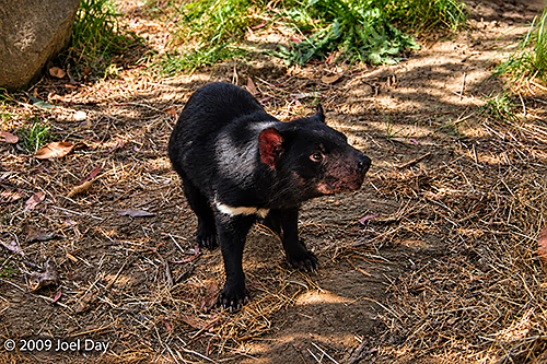
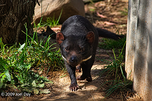
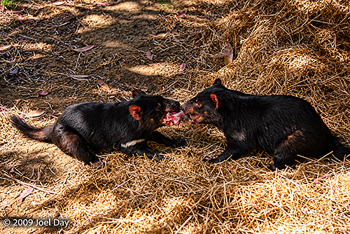
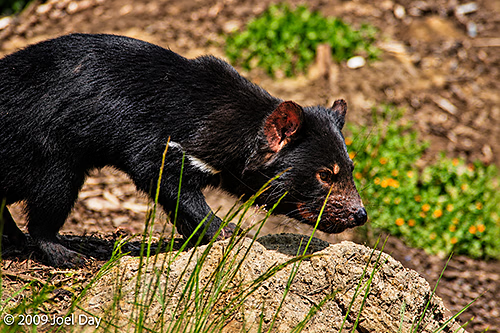
Throughout our Overland Track hike, we kept an eye out, hoping to spot a genuine Tasmanian Devil. Although we did stumble across a few instances of frantic scurrying behind fallen tree trunks, we never confirmed any sightings. Our next best option was to visit a Tasmanian Devil Conservation Park, where efforts were underway to save Tasmanian Devils from the contagious Devil Facial Tumour Disease (DFTD), which had made them endangered. They are nocturnal carnivores that feed on dead and dying animal carcasses that they come across.
Tasmanian Devil Conservation Park, Tasman Peninsula, TasmaniaTasmanian Devil Conservation Park, Tasman Peninsula, TasmaniaFeeding time at the Tasmanian Devil Conservation Park, Tasman Peninsula, TasmaniaTasmanian Devil Conservation Park, Tasman Peninsula, Tasmania
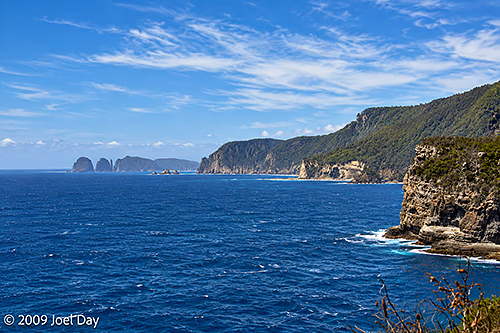
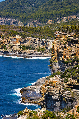
Afterwards we headed back into Hobart, with a pit stop at the Waterfall Bluff Lookout to enjoy the view out over the Tasman Sea.
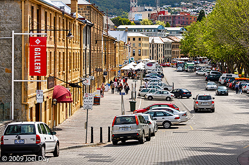
We spent the rest of the day poking around Hobart, a small city with a population of only about 50,000. It is the southernmost capital city in Australia, farthest from the Equator, but for some reason the temperature was hanging around 38℃ (100℉)
Hobart, Tasmania
Being New Year’s Eve, we were able to drop by the harbour and witness numerous Sydney to Hobart Yacht Race contenders cross the finish line at the end of their 628 nautical mile journeys from Sydney.
Sydney to Hobart Yacht Race arrivals in Hobart, Tasmania
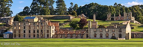
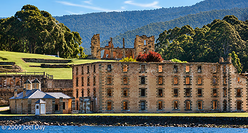
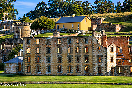
The Penitentiary (1857), Port Arthur Historic Site, Tasman Peninsula, Tasmania
After a fantastic week of hiking through Tasmania’s wilderness, it was time to enjoy the comforts of city life as well as some of the local tourist traps. The first stop was the Port Arthur Historic Site, which was actually very interesting and a UNESCO World Heritage Site.
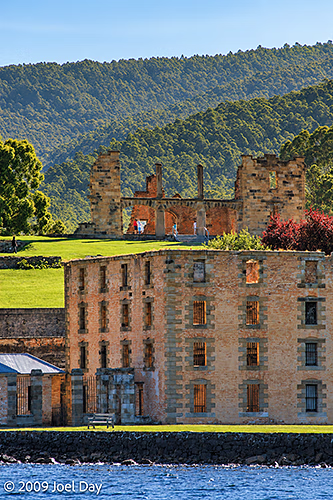
The Penitentiary (1857), Port Arthur Historic Site, Tasman Peninsula, Tasmania
Originally established as a timber-getting camp in 1830 that used convict labour to produce sawn logs for government projects, it was soon converted into a punishment station for repeat offenders from all the Australian colonies. By the 1840s, there were over 2000 convicts, soldiers and civilians living in the area, producing everything from worked stone and bricks to boats, ships, furniture, and clothing. It closed in 1877.
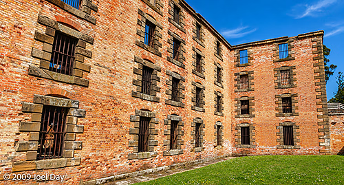
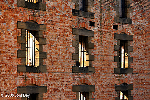
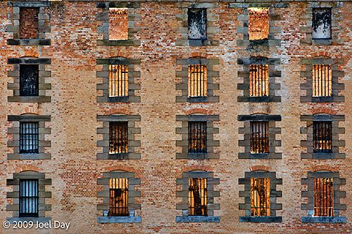
The Penitentiary (1857), Port Arthur Historic Site, Tasman Peninsula, TasmaniaThe Penitentiary (1857), Port Arthur Historic Site, Tasman Peninsula, Tasmania
The largest and most distinct building was the Penitentiary. It was originally built as a flour mill in 1845, where convicts ground grain by walking on a treadmill if there wasn’t enough water, but it was soon converted into a prison. Like many of the buildings around the site, it was destroyed by bushfires over the years.
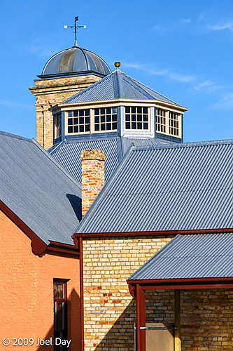
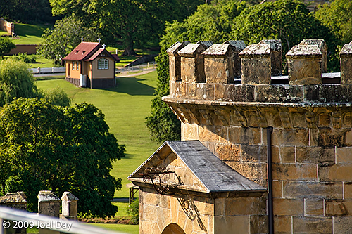
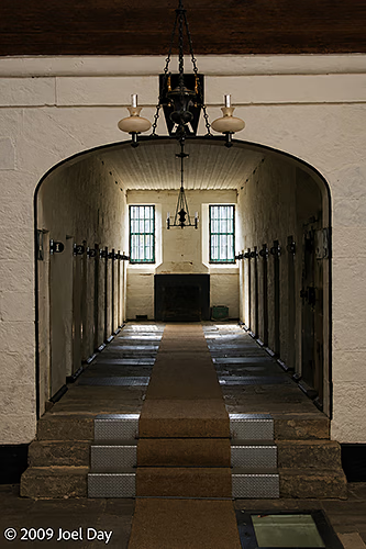
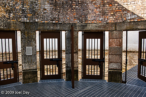
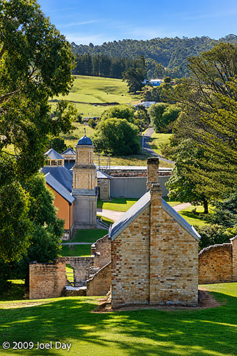
The Penitentiary (1857), Port Arthur Historic Site, Tasman Peninsula, TasmaniaThe Penitentiary (1857), Port Arthur Historic Site, Tasman Peninsula, TasmaniaPort Arthur Historic Site, Tasman Peninsula, TasmaniaThe Penitentiary (1857), Port Arthur Historic Site, Tasman Peninsula, TasmaniaGuard Tower (1835) and Chapel, Port Arthur Historic Site, Tasman Peninsula, TasmaniaThe Separate Prison (1849), Port Arthur Historic Site, Tasman Peninsula, TasmaniaThe Separate Prison (1849), Port Arthur Historic Site, Tasman Peninsula, Tasmania
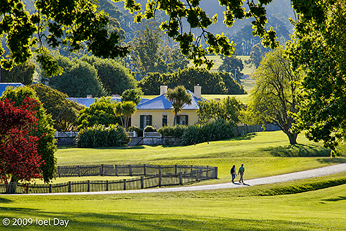
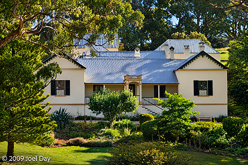
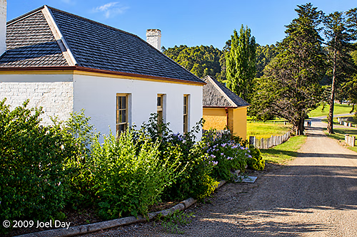
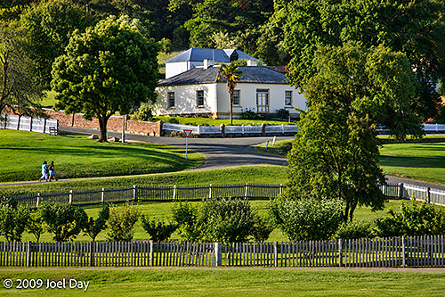
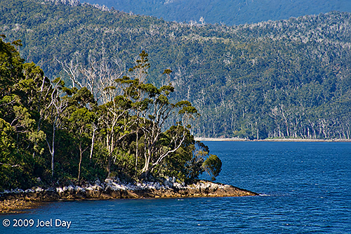
Beautiful civilian buildings, grounds, and gardens surrounded the main structures. The site sat on the beautiful Carnavon Bay on the Tasman Peninsula southeast of Hobart.
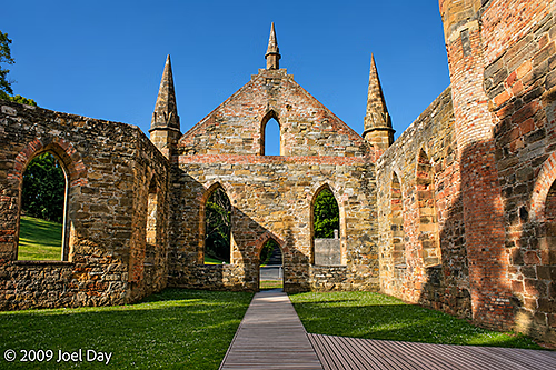
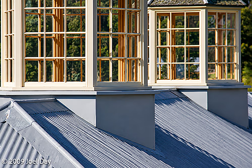
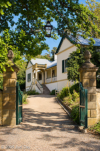
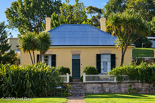
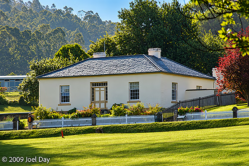
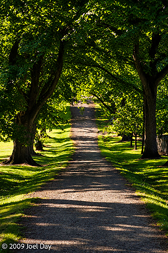
The Church (1837), Port Arthur Historic Site, Tasman Peninsula, TasmaniaPort Arthur Historic Site, Tasman Peninsula, TasmaniaPort Arthur Historic Site, Tasman Peninsula, TasmaniaPort Arthur Historic Site, Tasman Peninsula, TasmaniaCommandant’s House (1833-56) and Law Courts (1846), Port Arthur Historic Site, Tasman Peninsula, TasmaniaCommandant’s House (1833-56) and Law Courts (1846), Port Arthur Historic Site, Tasman Peninsula, TasmaniaPort Arthur Historic Site, Tasman Peninsula, TasmaniaPort Arthur Historic Site, Tasman Peninsula, TasmaniaPort Arthur Historic Site, Tasman Peninsula, TasmaniaGardens of the Port Arthur Historic Site, Tasman Peninsula, TasmaniaGardens of the Port Arthur Historic Site, Tasman Peninsula, TasmaniaGardens of the Port Arthur Historic Site, Tasman Peninsula, TasmaniaGardens of the Port Arthur Historic Site, Tasman Peninsula, TasmaniaGardens of the Port Arthur Historic Site, Tasman Peninsula, TasmaniaPort Arthur Historic Site, Tasman Peninsula, TasmaniaPort Arthur Historic Site, Tasman Peninsula, TasmaniaPort Arthur Historic Site, Tasman Peninsula, TasmaniaCarnarvon Bay, Port Arthur Historic Site, Tasman Peninsula, Tasmania
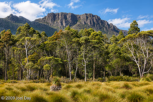
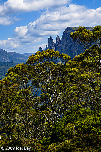
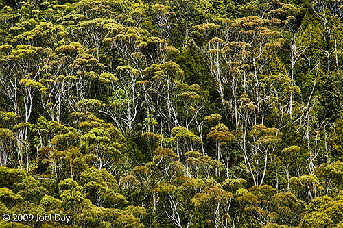
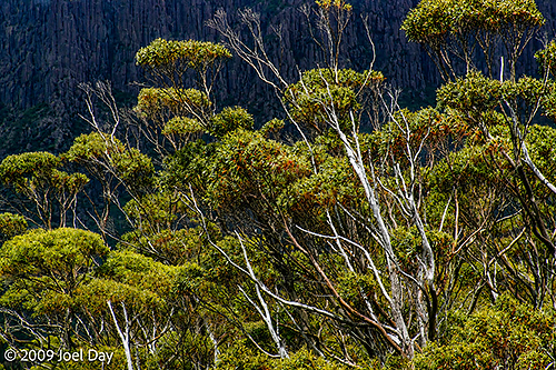
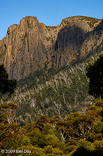
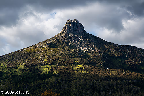
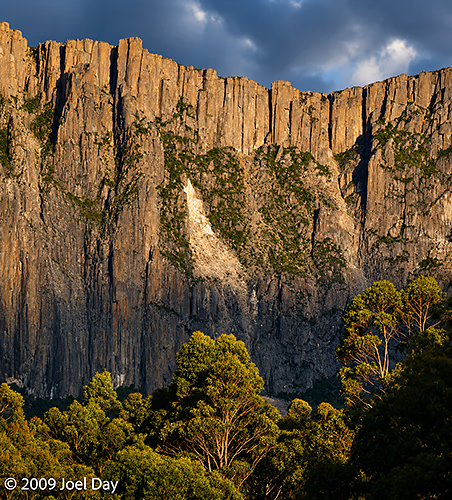
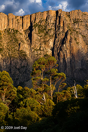
Eucalypt Forest and Mountains near the southern end of the Overland Track in Tasmania
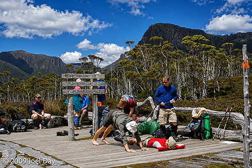
On the last day of our hike on the Overland Track, we had two options: We could continue the hike for another 17.5 km, taking 5-6 hours, along the shores of Lake St Clair. Or we could catch a ferry ride across the lake to the Lake St Clair Visitor Centre at Cynthia Bay at the southern end of the lake. Most of us opted for the ferry after backpacking with full packs for 7 days. A few decided to leave their full packs with us on the ferry and do the final hike with day packs.
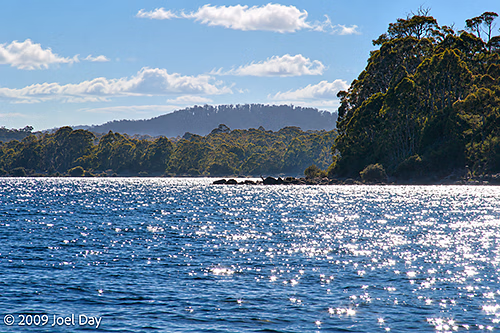
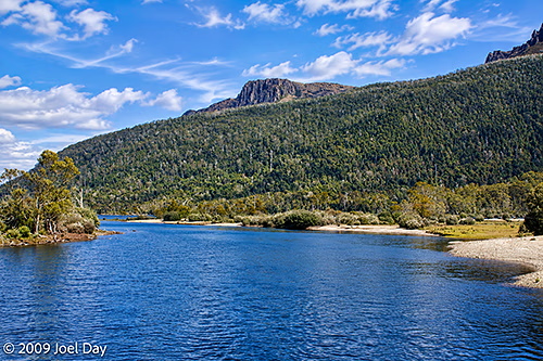
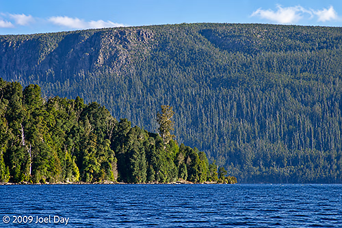
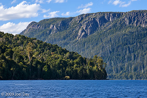
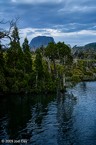
Eucalypt Forest and Mountains along Lake St Clair at the southern end of the Overland Track in Tasmania
It was a bit of a shock to arrive at the visitor centre and find busloads of lazy tourists looking to buy a cheeseburger at the cafeteria. It almost made my heart sink. There is something very liberating about being completely self-sufficient with everything you need on your back for a week in the wilderness, but when you arrive back in the commercial world, it can be a bit off-putting.
Eucalypt Forest and Mountains along Lake St Clair at the southern end of the Overland Track in TasmaniaEucalypt Forest and Mountains along Lake St Clair at the southern end of the Overland Track in Tasmania
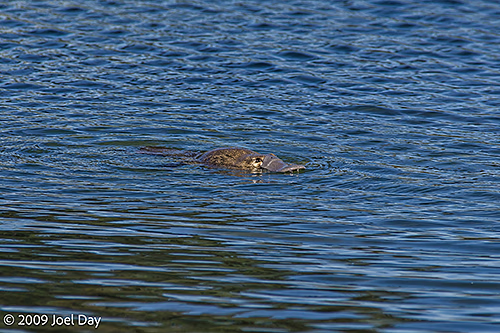
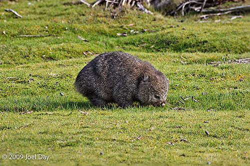
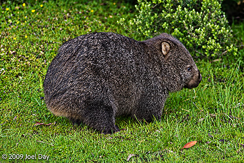
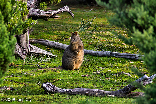
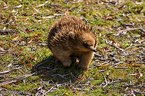
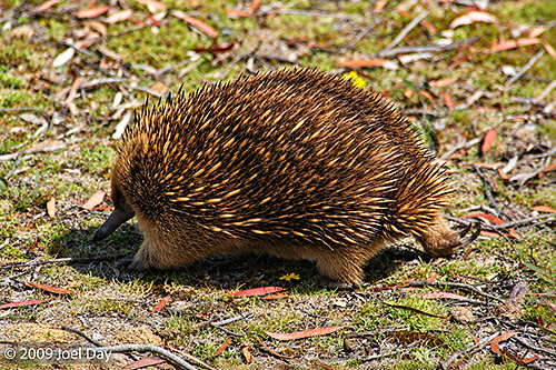
While we saw plenty of evidence of nocturnal animal activity over the course of the hike, we didn’t see much out and about. Fortunately, we were treated to quite a few active critters on our last day, including a busy platypus at the Narcissus Jetty, a wombat near our final campsite, an echidna, as well as a wallaby.
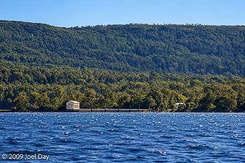
Platypus (Ornithorhynchus anatinus) near Narcissus River mouth at Lake St Clair, TasmaniaCommon Wombat (Vombatus ursinus) near Cynthia Bay at the southern end of the Overland Track in TasmaniaCommon Wombat (Vombatus ursinus) near Cynthia Bay at the southern end of the Overland Track in TasmaniaTasmanian Pademelon (Thylogale billardierii) near Cynthia Bay at the southern end of the Overland Track in TasmaniaShort-beaked Echidna (Tachyglossus aculeatus) near Cynthia Bay at the southern end of the Overland Track in TasmaniaShort-beaked Echidna (Tachyglossus aculeatus) near Cynthia Bay at the southern end of the Overland Track in TasmaniaEucalypt Forest and Mountains along Lake St Clair at the southern end of the Overland Track in TasmaniaPumphouse Point on Lake St Clair at the southern end of the Overland Track in Tasmania
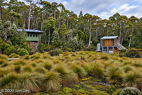
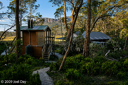
Bert Nichols Hut and elevated toilet on the Overland Track in Tasmania
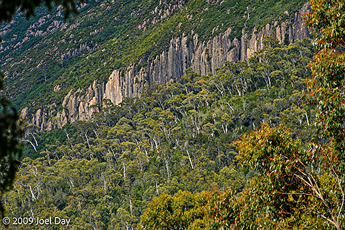
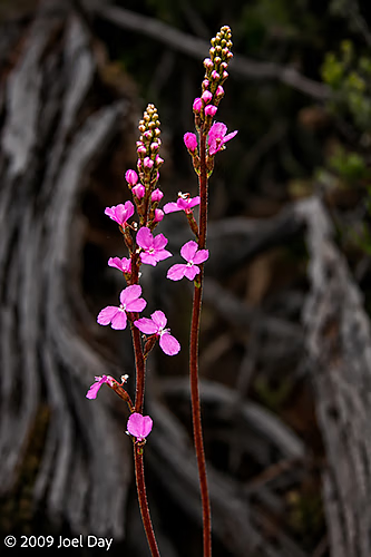
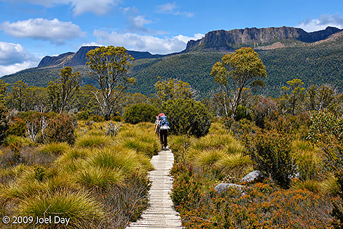
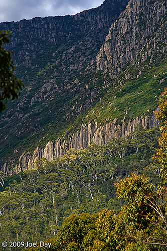
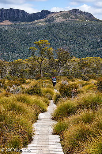
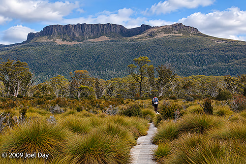
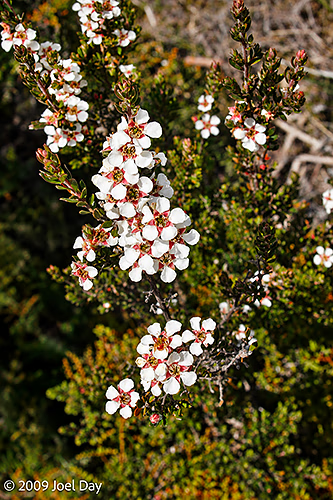
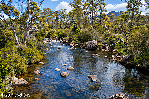
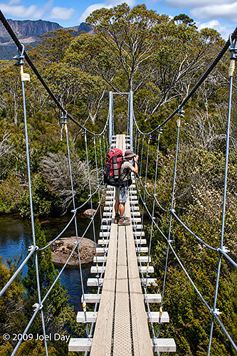
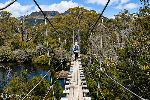
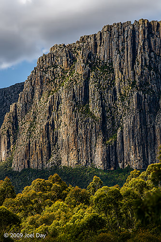
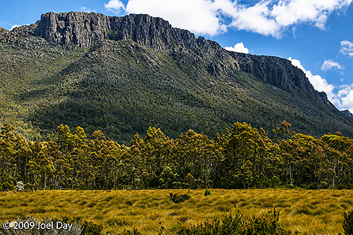
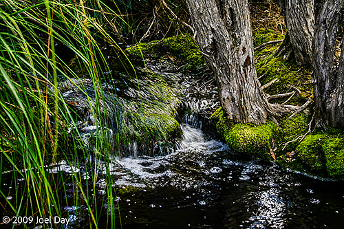
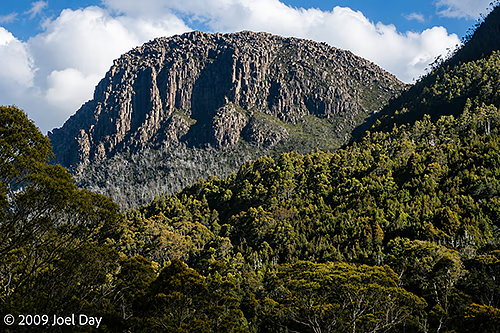
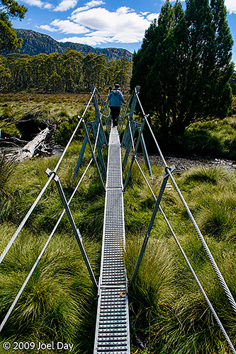
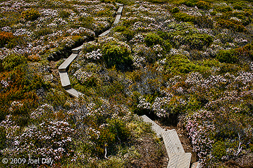
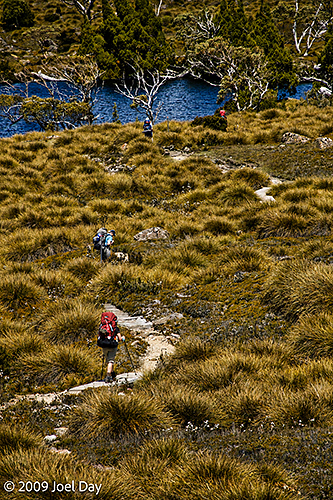
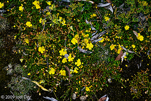
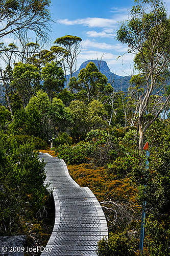
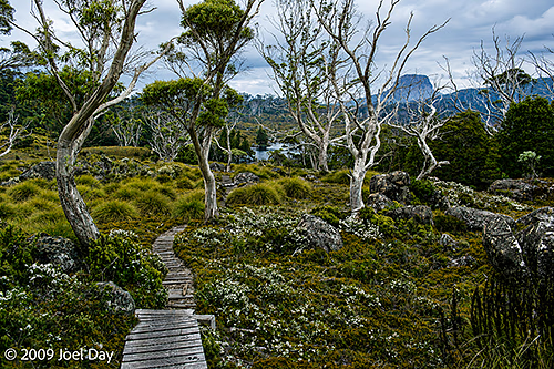
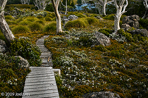
From Bert Nichols Hut in Windy Ridge, it was a nice, cruisy 9 km hike that gradually worked its way down to where the Narcissus River met Lake St Clair, taking about 3-4 hours. There were lots of boardwalks to keep it easy and plenty of wildflowers along the way. One of the cooler parts was crossing a pedestrian suspension bridge to get over the Narcissus River.
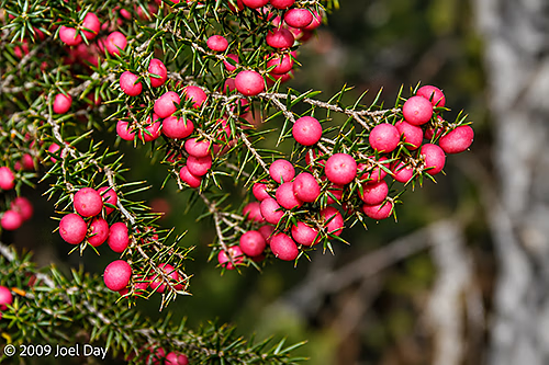
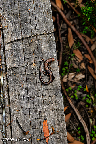
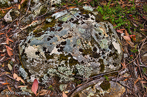
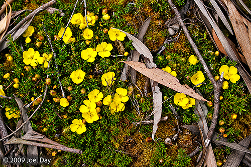
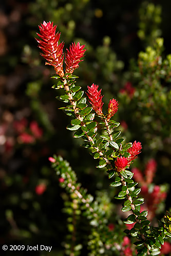
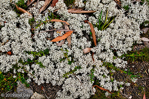
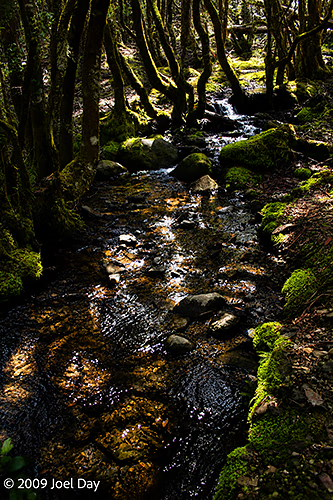
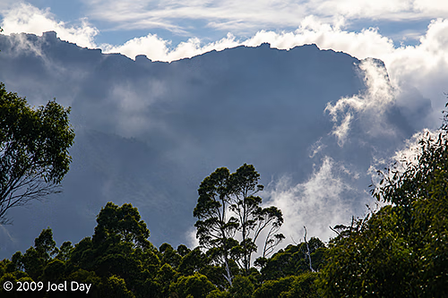
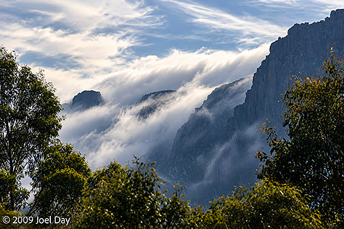
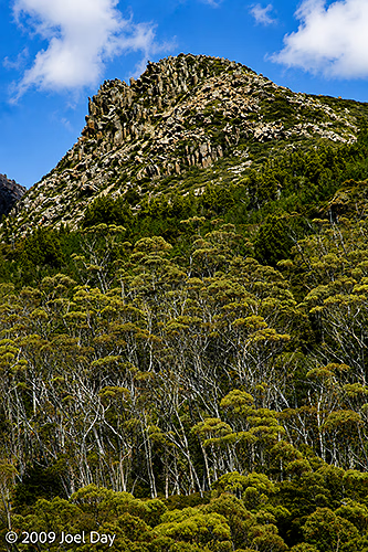
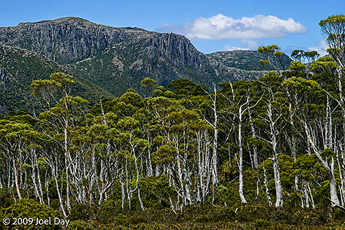
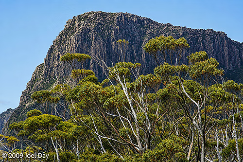
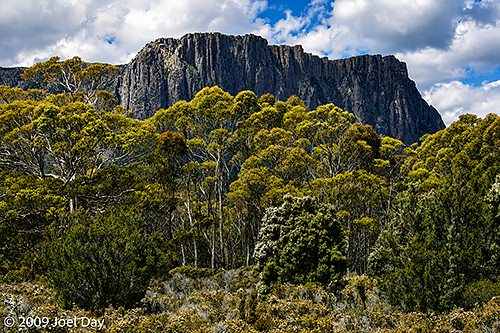
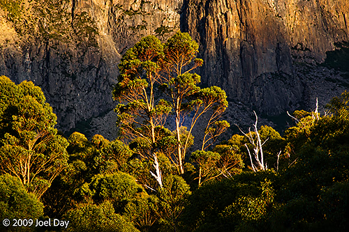
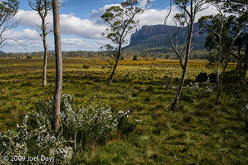
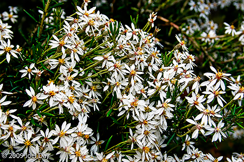
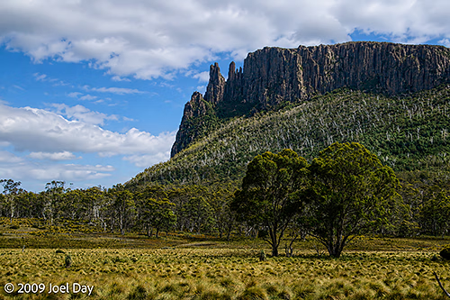
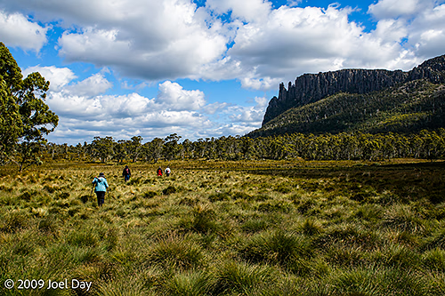
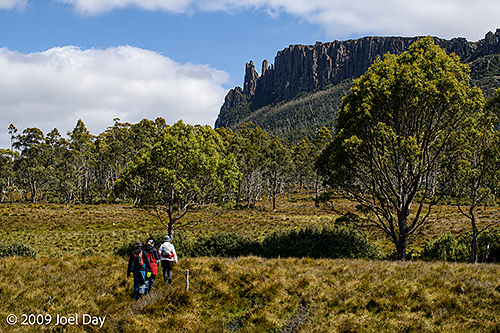
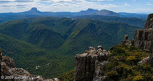
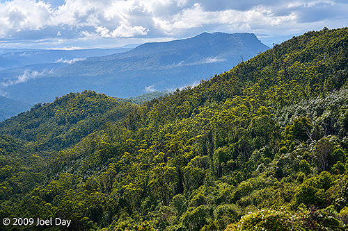
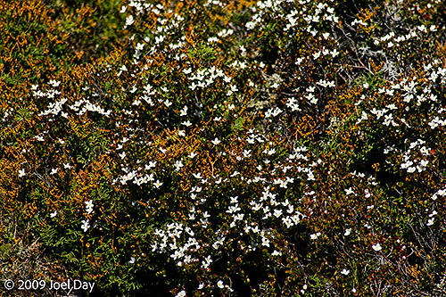
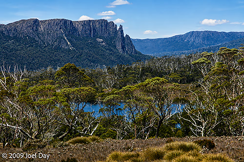
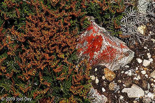
Eucalypt Forest and Mountains along the Windy Ridge to Narcissus segment of the Overland Track in TasmaniaNarrowleaf Triggerplant (Stylidium graminifolium) along the Windy Ridge to Narcissus segment of the Overland Track in TasmaniaEucalypt forest, buttongrass plains, and mountains along the Windy Ridge to Narcissus segment of the Overland Track in TasmaniaEucalypt Forest and Mountains along the Windy Ridge to Narcissus segment of the Overland Track in TasmaniaMountain pinkberry (Leptecophylla parvifolia) along the Windy Ridge to Narcissus segment of the Overland Track in TasmaniaMetallic skink (Niveoscincus metallicus) along the Windy Ridge to Narcissus segment of the Overland Track in TasmaniaLichens and Mosses Colonising an Alpine Rock along the Windy Ridge to Narcissus segment of the Overland Track in TasmaniaEucalypt forest, buttongrass plains, and mountains along the Windy Ridge to Narcissus segment of the Overland Track in TasmaniaCreeping Buttercup (Ranunculus lappaceus), Tasmanian Heath and moss along the Windy Ridge to Narcissus segment of the Overland Track in TasmaniaTwiggy heath or Richea scoparia (Epacridaceae) along the Windy Ridge to Narcissus segment of the Overland Track in TasmaniaReindeer lichen ( Cladonia rangiferina) and moss along the Windy Ridge to Narcissus segment of the Overland Track in TasmaniaCreek along the Windy Ridge to Narcissus segment of the Overland Track in TasmaniaEucalypt forest, buttongrass plains, and mountains along the Windy Ridge to Narcissus segment of the Overland Track in TasmaniaSnow-in-Summer (Leptospermum niveum) along the Windy Ridge to Narcissus segment of the Overland Track in TasmaniaThe Narcissus River on the Windy Ridge to Narcissus segment of the Overland Track in TasmaniaHikers crossing the suspension bridge across the Narcissus River on the Windy Ridge to Narcissus segment of the Overland Track in TasmaniaHikers crossing the suspension bridge across the Narcissus River on the Windy Ridge to Narcissus segment of the Overland Track in Tasmania
Morning View of Mount Massif (1514m) from the Kia Ora Hut along the Overland Track in Tasmania
Kia Ora was yet another beautiful location deep in the wilderness. The scenery was fantastic, but you had to keep your eyes out for a few dangerous animals: Ants and snakes. Tasmania has a type of ant called a Jack Jumper Ant (Myrmecia pilosula), which is venomous and highly aggressive. They jump up and down when they’re angry, which is where they got their name from. After a long day of hiking, your first instinct is to remove your hiking boots and let your feet rest, but you have to remember to be very careful not to step in the wrong direction; otherwise, you’ll be in severe pain from the tiny critters.
Morning View of Mount Massif (1514m) from the Kia Ora Hut along the Overland Track in Tasmania
Every native snake you come across in Tasmania is venomous, so you also want to be careful where you step for other reasons. There were a few instances of these Tiger Snakes, Lowland Copperhead Snakes, and White-lipped Snakes lying out across the hiking trail getting some sun to warm up. Fortunately, they were far less interested in us than in small prey, so we just had to be careful not to alarm them as we proceeded down the path.
Tent platforms at Kia Ora Creek along the Overland Track in Tasmania
It helped to have elevated boardwalk walking tracks and tent platforms available to us along this circuit and at these camping areas so we didn’t have to worry as much about the ants and snakes in their environments.
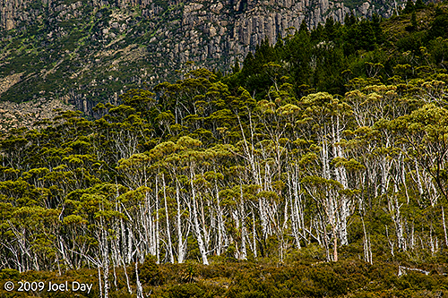
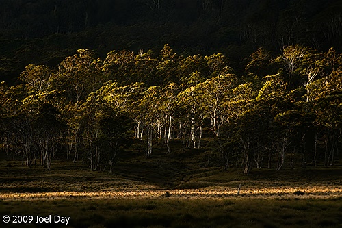
Eucalypt Forest and Mountains along the Pelion to Kia Ora segment of the Overland Track in Tasmania
The hike from Kia Ora to Windy Ridge was about 9.6 km and took 3.5-4.5 hours to complete.
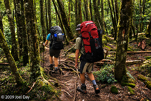
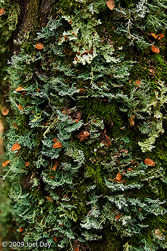
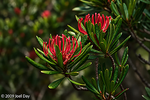
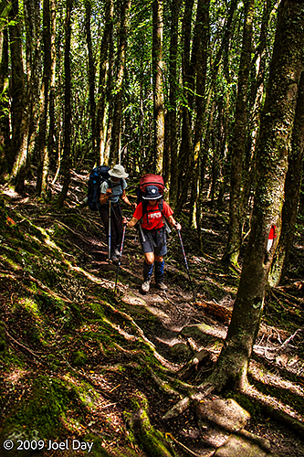
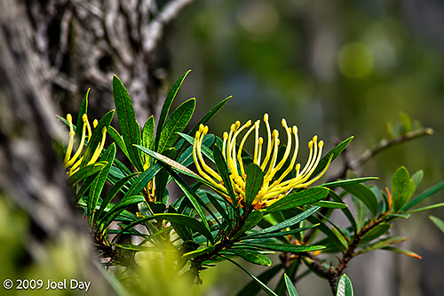
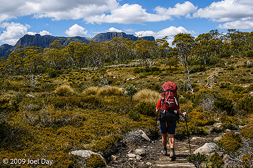
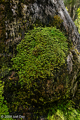
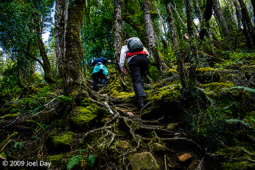
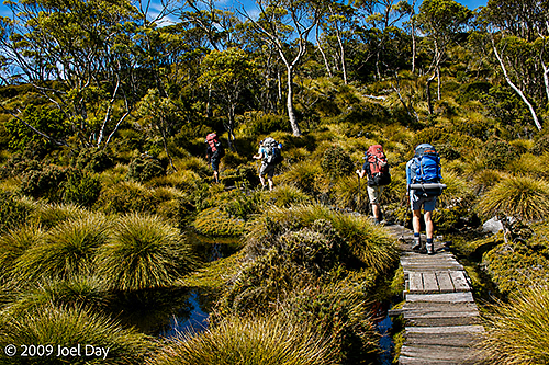
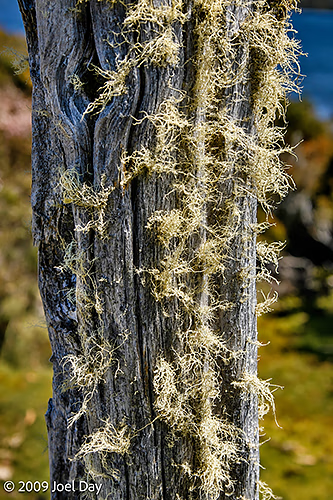
Rainforest Hikers along the Kia Ora to Windy Ridge segment of the Overland Track in TasmaniaLichens and mosses on a rainforest tree, Overland Track, TasmaniaTasmanian waratah (Telopea truncata) flowers along the Kia Ora to Windy Ridge segment of the Overland Track in Tasmania
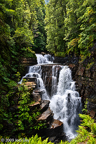
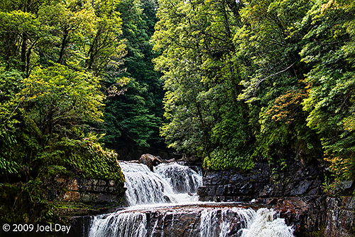
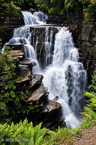
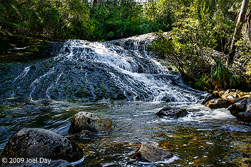
While we were slogging away with our full backpacks, schlepping from hut to hut, others were taking the much cushier and expensive option of just walking the track and having their stuff handled for them while staying in private huts with warm meals provided. You could immediately tell who was who along the way. One such encounter happened at the following waterfall, where a group of unfit walkers came to enjoy the view with us – only to light up cigarettes in our midst and show a total disregard for the pristine environment. It was quite disheartening, to say the least.
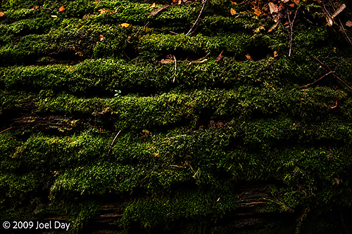
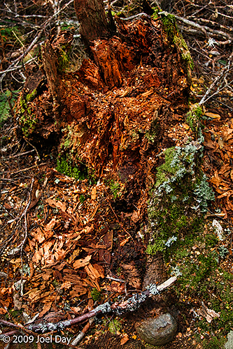
D’Alton Falls along the Kia Ora to Windy Ridge segment of the Overland Track in TasmaniaMoss-covered fallen log, Overland Track, TasmaniaDecaying tree stump and moss, Overland Track, TasmaniaD’Alton Falls along the Kia Ora to Windy Ridge segment of the Overland Track in TasmaniaRainforest Hikers along the Kia Ora to Windy Ridge segment of the Overland Track in TasmaniaTasmanian waratah (Telopea truncata) flowers along the Kia Ora to Windy Ridge segment of the Overland Track in TasmaniaD’Alton Falls along the Kia Ora to Windy Ridge segment of the Overland Track in Tasmania
After spending a few nights at the Pelion Hut, it was time to continue on our journey to Kia Ora, an 8.6 km, 3-4-hour hike. Pelion Hut was one of the larger, nicer huts with unusual toilet facilities. At each hut, the toilets were elevated so park rangers could collect the deposits below them and fly them out in capsules by helicopter to keep the environment pristine.
Pelion Hut and Elevated Toilet Block
You would occasionally hear these helicopters flying off in the valleys with their collected toilet waste. The helicopters were also used to visit huts, check on hikers, and evacuate those who were injured or had just decided they weren’t up for the rest of the hike. We did see someone with leg issues flown out while we were at Pelion Hut.
Pelion Hut Helicopter Landing Pad
We headed off along the Douglas Creek on our way south to Pelion Gap and the Kia Ora Hut.
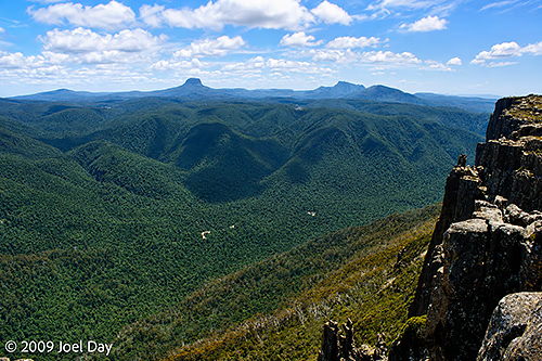
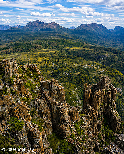
Hiker along the Pelion to Kia Ora segment of the Overland Track in TasmaniaDouglas Creek along the Pelion to Kia Ora segment of the Overland Track in TasmaniaEucalypt Forest and Mountains along the Pelion to Kia Ora segment of the Overland Track in TasmaniaEucalypt Forest and Mountains along the Pelion to Kia Ora segment of the Overland Track in TasmaniaEucalypt Forest along the Pelion to Kia Ora segment of the Overland Track in TasmaniaEucalypt Forest and Mountains along the Pelion to Kia Ora segment of the Overland Track in TasmaniaPelion Gap (1113m) rest area along the Pelion to Kia Ora segment of the Overland Track in TasmaniaEucalypt Forest and Mountains along the Pelion to Kia Ora segment of the Overland Track in TasmaniaEucalypt Forest and Mountains along the Pelion to Kia Ora segment of the Overland Track in TasmaniaEucalypt Forest and Mountains along the Pelion to Kia Ora segment of the Overland Track in TasmaniaEucalypt Forest and Mountains along the Pelion to Kia Ora segment of the Overland Track in TasmaniaEucalypt Forest and Mountains along the Pelion to Kia Ora segment of the Overland Track in TasmaniaEucalypt Forest and Mountains along the Pelion to Kia Ora segment of the Overland Track in TasmaniaCreek along the Pelion to Kia Ora segment of the Overland Track in TasmaniaEucalypt Forest and Mountains along the Pelion to Kia Ora segment of the Overland Track in TasmaniaView of Mount Massif (1514m) from the Kia Ora Hut along the Overland Track in TasmaniaMount Pelion East (1433m) along the Pelion to Kia Ora segment of the Overland Track in TasmaniaView of Mount Massif (1514m) from the Kia Ora Hut along the Overland Track in TasmaniaView of Mount Massif (1514m) from the Kia Ora Hut along the Overland Track in TasmaniaView of Mount Massif (1514m) from the Kia Ora Hut along the Overland Track in Tasmania
Panoramic view of Mount Oakleigh (1286m) from the Pelion Hut on the Overland Track in Tasmania
As today was Christmas Day, we decided to enjoy our surroundings and spend an extra day around the Pelion Hut. We decided to take a side trip to the top of nearby Mount Oakleigh (1286m). From the hut, it was an 8 km hike up a steep climb to the summit, taking about 4-6 hours.
View of Mount Oakleigh (1286m) from the Pelion Hut on the Overland Track in TasmaniaDusty daisybush (Olearia phlogopappa) found near Pelion Hut along Overland Track in TasmaniaView of Mount Oakleigh (1286m) from the Pelion Hut on the Overland Track in TasmaniaHiking across a small suspension bridge in buttongrass moorlands on the way to Mount Oakleigh (1286m) near the Overland Track in TasmaniaHiking across buttongrass moorlands on the way to Mount Oakleigh (1286m) near the Overland Track in TasmaniaHiking across buttongrass moorlands on the way to Mount Oakleigh (1286m) near the Overland Track in TasmaniaFeather moss-covered tree trunk found near Pelion Hut along Overland Track in TasmaniaThe slippery ascent up Mount Oakleigh (1286m) near the Overland Track in Tasmania
At the top of Mount Oakleigh (1286m), we enjoyed the sweeping views and ate a packed Christmas lunch. We also discovered that after three days without any outside connections, we could just get enough signal to use our phones to send and receive Christmas messages with people around the world. It was the first time since the start of the hike that we were able to find any kind of phone signal – which was very weak.
View from the top of Mount Oakleigh (1286m) near the Overland Track in TasmaniaView from the top of Mount Oakleigh (1286m) near the Overland Track in TasmaniaView from the top of Mount Oakleigh (1286m) near the Overland Track in TasmaniaView from the top of Mount Oakleigh (1286m) near the Overland Track in TasmaniaView from the top of Mount Oakleigh (1286m) near the Overland Track in TasmaniaView of Pelion Hut from the top of Mount Oakleigh (1286m) near the Overland Track in TasmaniaView from the top of Mount Oakleigh (1286m) near the Overland Track in TasmaniaView of Mount Oakleigh (1286m) from the Pelion Hut on the Overland Track in Tasmania
The Overland Track is limited to 34 hikers starting each day, so reservations need to be made early. Of course, when you need to commit to a start date in advance, you have no idea what the weather will be like on the day you start. Some people report hiking in the rain for most of it. Fortunately for us, we only really had one rainy day to hike, and it was today, on Christmas Eve. Today’s hike was 16.8 km and took about 5-7 hours to reach the Pelion Hut, where we planned to spend Christmas.
Views from the Lake Windermere to Pelion stretch of the Overland Track in TasmaniaViews from the Lake Windermere to Pelion stretch of the Overland Track in TasmaniaHikers on the Lake Windermere to Pelion stretch of the Overland Track in TasmaniaThe Pelion Hut on the Overland Track in Tasmania
It was great to finally arrive and make ourselves comfortable in this well-maintained hut, with spectacular views of Mount Oakleigh (1286m) across some button grass moorlands.
Buttongrass moorlands in front of the Pelion Hut on the Overland Track in TasmaniaSun setting on wilderness in front of the Pelion Hut on the Overland Track in TasmaniaView of Mount Oakleigh (1286m) from the Pelion Hut on the Overland Track in TasmaniaSunset view of Mount Oakleigh (1286m) from the Pelion Hut on the Overland Track in TasmaniaSun setting on wilderness in front of the Pelion Hut on the Overland Track in TasmaniaSunset view of Mount Oakleigh (1286m) from the Pelion Hut on the Overland Track in Tasmania
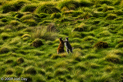
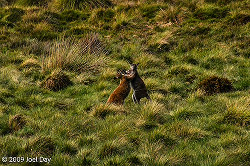
Late in the day, we were treated to the sight of some boxing kangaroos right in front of the hut, which isn’t something you get to see every day in Australia.
Boxing Kangaroos in front of the Pelion Hut on the Overland Track in TasmaniaBoxing Kangaroos in front of the Pelion Hut on the Overland Track in Tasmania
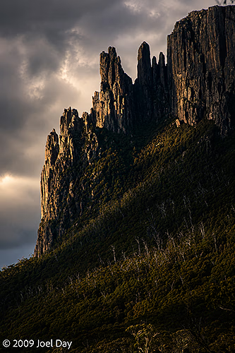
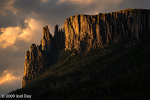
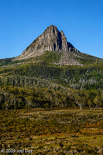
Barn Bluff (1559 m) behind Waterfall Valley Camp, Overland Track, Tasmania
The only hut we came to with an active park ranger was this first Waterfall Valley hut. He explained to us that part of his job was to ensure everyone was fully prepared for the next six days of wilderness hiking. He also needed to decide if anyone needed to be sent back to the start line. He gave an example of some hikers with backpacks full of instant noodles and nothing else. They weren’t permitted to proceed. We were very well prepared with dehydrated dinners and water filters and purifiers for use with the pristine rivers and lakes along the way. And we had all the proper gear for the week. It helped that some in our group had done the hike before.
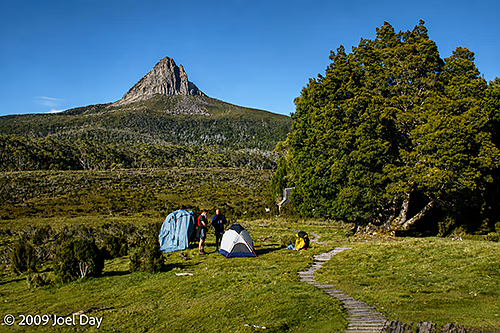
Waterfall Valley Camp, Overland Track, Tasmania
After a nice rest at the Waterfall Valley Hut camping area, where we got our lesson on how to leave no trace for the rest of the Overland Track hike – which even went as far as providing strict instructions on where to spit our toothpaste so it could be helicoptered out of this pristine environment with the other camp waste. Day 2 seemed to be a much more relaxing hike and included an easy side trip to Lake Will, where we stopped for lunch. Overall, 7.8 km, taking 2.5-3.5 hours.
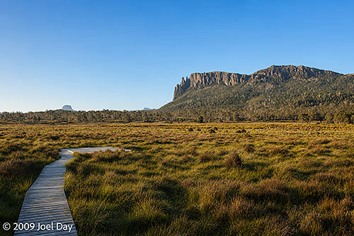
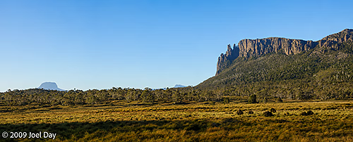
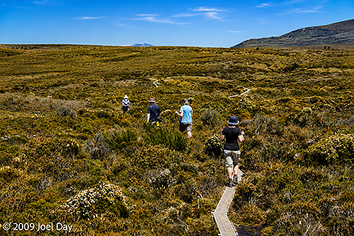
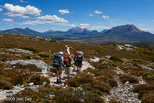
Hikers along the Waterfall Valley to Lake Windermere segment of the Overland Track, TasmaniaBarn Bluff (1559 m) near Waterfall Valley Camp, Overland Track, Tasmania
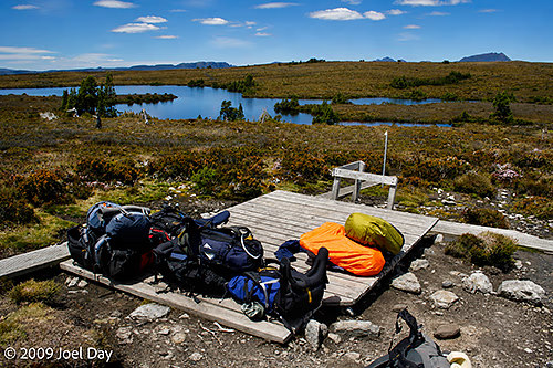
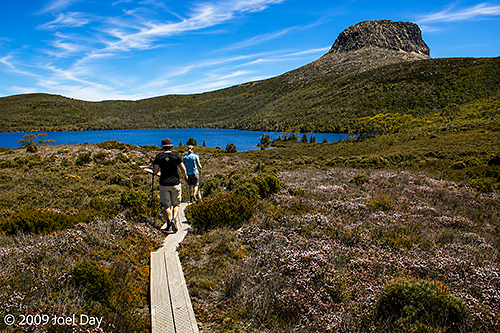
There were a number of side trips Overland Hikers could do along the main trail. Some were easier than others. We decided to do the easier Lake Will side trip for a bit of a lunch break. It was only 3 km round trip off the main trail. There were places where hikers could rest their full backpacks and just take day packs for these side hikes. The ranger warned us about very smart thieves that might get into our packs. The thieves weren’t human; they were very smart birds who could unzip zippers to reach the contents of your pack, so we had to make sure all the zippers were hidden.
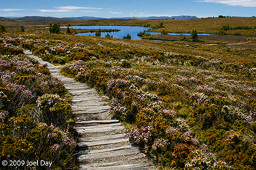
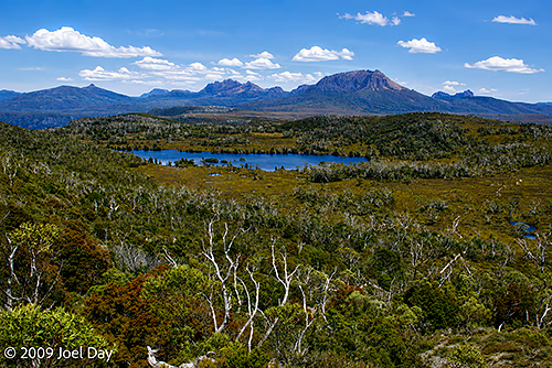
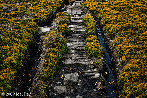
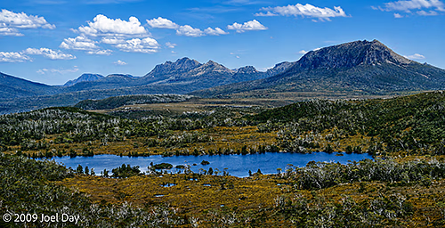
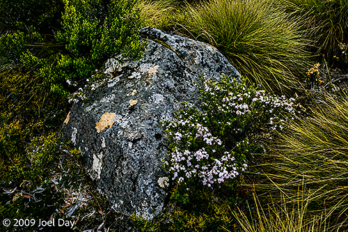
Backpack storage area for side trips to Lake Will along the Waterfall Valley to Lake Windermere segment of the Overland Track, TasmaniaLake Will side trip along the Waterfall Valley to Lake Windermere segment of the Overland Track, TasmaniaLake Will side trip along the Waterfall Valley to Lake Windermere segment of the Overland Track, TasmaniaWildflowers along the Lake Will side trip off the Waterfall Valley to Lake Windermere segment of the Overland Track, TasmaniaOld moss-covered post near Lake Will along the Waterfall Valley to Lake Windermere segment of the Overland Track, TasmaniaLake Will side trip along the Waterfall Valley to Lake Windermere segment of the Overland Track, TasmaniaWildflowers along the Lake Will side trip off the Waterfall Valley to Lake Windermere segment of the Overland Track, TasmaniaHikers along the Waterfall Valley to Lake Windermere segment of the Overland Track, TasmaniaWilderness views along the Waterfall Valley to Lake Windermere segment of the Overland Track, TasmaniaWorn out stretch of the Waterfall Valley to Lake Windermere segment of the Overland Track, TasmaniaWilderness views along the Waterfall Valley to Lake Windermere segment of the Overland Track, TasmaniaWildflowers along the Waterfall Valley to Lake Windermere segment of the Overland Track, TasmaniaWilderness views along the Waterfall Valley to Lake Windermere segment of the Overland Track, TasmaniaHikers along the Waterfall Valley to Lake Windermere segment of the Overland Track, TasmaniaLichen covered rocks and wildflowers along the Waterfall Valley to Lake Windermere segment of the Overland Track, TasmaniaWildflowers along the Waterfall Valley to Lake Windermere segment of the Overland Track, TasmaniaHiking trail along the Waterfall Valley to Lake Windermere segment of the Overland Track, TasmaniaEvening side trip to Lake Windermere, Overland Track, Tasmania
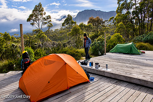
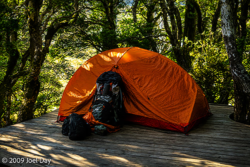
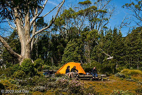
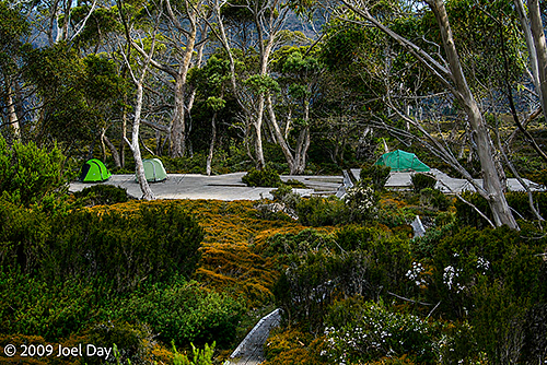
After our day of hiking in beautiful weather, we arrived at the Lake Windermere campsite. We stumbled across a spotted quoll lurking beneath our tent platform, but he was too quick for my camera. We pitched our tents on platforms, ditched our packs, and made our way down to nearby Lake Windermere to cool off by its pristine waters.
Campers near Lake Windermere, Overland Track, TasmaniaCampers near Lake Windermere, Overland Track, TasmaniaLichen covered rocks and wildflowers along the Waterfall Valley to Lake Windermere segment of the Overland Track, TasmaniaEvening side trip to Lake Windermere, Overland Track, TasmaniaEvening side trip to Lake Windermere, Overland Track, TasmaniaEvening side trip to Lake Windermere, Overland Track, Tasmania
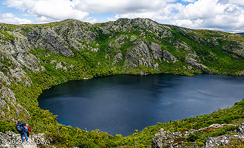
We started a seven-day trek on the Overland Track, one of Tasmania’s most famous hikes. This hike is limited to 34 hikers starting each day and must be booked well in advance. I think we booked back in August. The first day was quite gruelling, with a steep climb up into the Tasmanian high country, but it offered beautiful views of Crater Lake and Cradle Mountain. Today’s hike was 10.7 km, taking about 4-6 hours.
Crater Lake, Overland Track, Tasmania
We arrived at the Waterfall Valley hut for the night, only to discover that the fuel compartment of my Trangia stove was sealed shut due to pressure changes at the higher elevation. Fortunately, there was a ranger at the hut who seemed to be there to ensure everyone was equipped and ready for the next six days of the hike. After trying several strategies to open the fuel burner in his workshed, he found that good old WD-40 did the job.
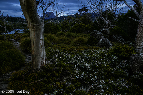
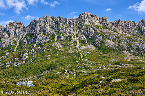
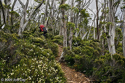
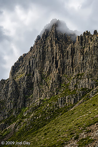
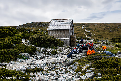
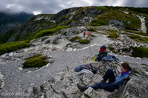
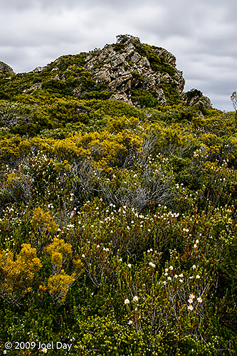
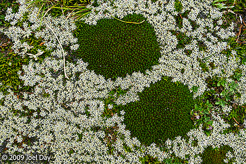
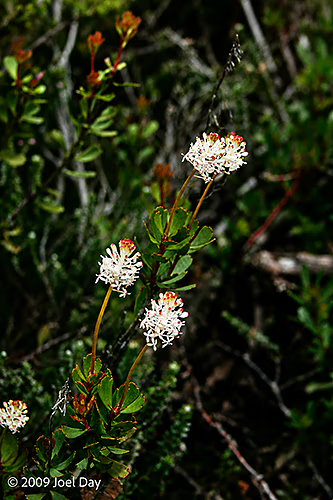
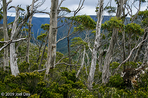
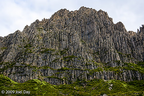
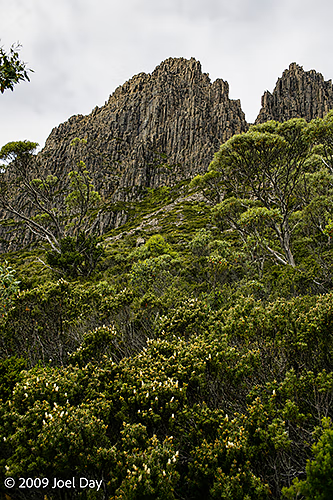
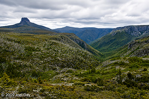
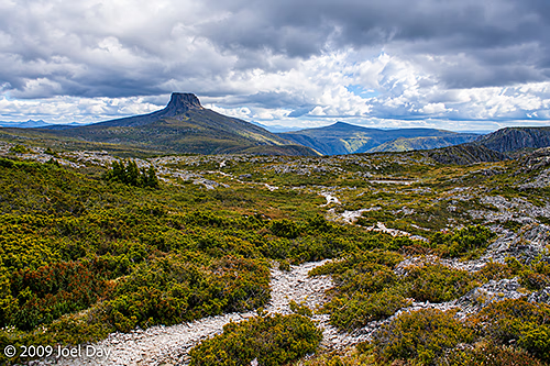
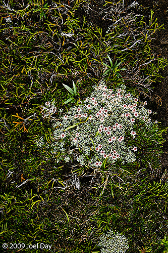
Overland Track near Cradle Mountain, TasmaniaCradle Mountain, Overland Track, TasmaniaHistoric Kitchen Hut, Overland Track, TasmaniaOverland Track near Cradle Mountain, TasmaniaOverland Track near Cradle Mountain, TasmaniaTasmanian cushionplant (Abrotanella forsteroides) and snow cushionplant (Donatia novae-zelandiae) found along the Overland Track, TasmaniaBushman’s bootlace (Pimelea nivea) along the Overland Track, TasmaniaOverland Track near Cradle Mountain, TasmaniaCradle Mountain, Overland Track, TasmaniaCradle Mountain, Overland Track, TasmaniaOverland Track near Barn Bluff, TasmaniaOverland Track near Barn Bluff, TasmaniaTasmanian cushionplant (Abrotanella forsteroides) found along the Overland Track, Tasmania



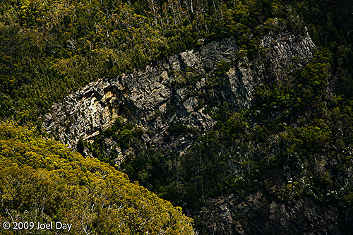
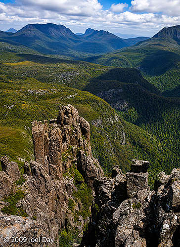
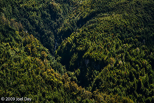
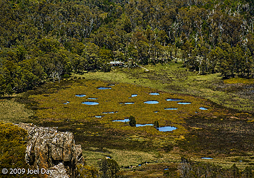

You must be logged in to post a comment.