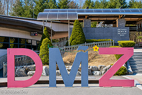
Woke up early to catch a bus to the DMZ and explore a few tourist-accessible areas. It was probably the coldest day I have experienced in a while, with the wind howling like it was. The good news is that the cold snap that came through overnight also cleared out the skies for excellent visibility.
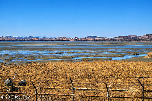
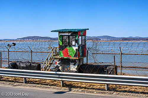
The DMZ is only about an hour’s drive north of Seoul, and as you get closer while driving up the coast, you can feel the seriousness of the area starting to build as razor wire fences begin to appear next to beaches, with military observation posts overlooking inlets that divide the North from the South.
Bus Ride to the DMZ
Map of the route “The DMZ up close and personal”: 57,643 m, 112 m of climbing and 117 m of descent, time 00:50:36. It starts at 37.55292, 126.93351 and ends at 37.89072, 126.74202 (latitude, longitude).
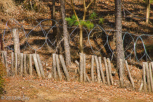
You are instructed to bring your passport and carry it with you at all times while on the tour. They write everyone’s passport number down for their records before they allow the tour bus in. Once inside, the tour bus weaves through tank barriers as it descends to the first stop, “The 3rd Tunnel”.
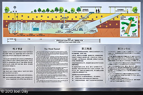
The 3rd Tunnel is a tunnel North Koreans dug under the DMZ, discovered in 1978. It is now a tourist attraction with a ramp and a train ride down to a depth of 73 meters below ground. We had the cheap tour that required us to walk all the way down and all the way back up, which was a decent workout. In the tunnel, which required hardhats and me to bend over as I walked the whole way, you can get within 170 meters of the actual demarcation line between the two countries, but there are 3 thick steel barriers installed thereafter to keep the North Koreans from using it to invade the south as they had originally planned.
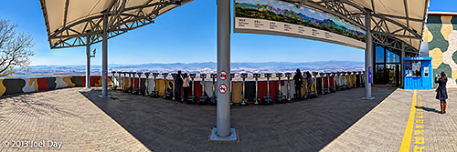
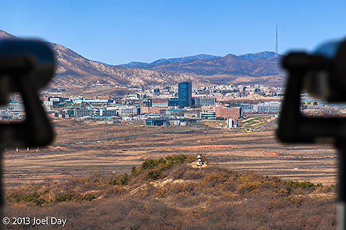
From there we climbed a big hill (in a comfortable tour bus) that overlooked the border where you could see North Korean cities and housing and scrutinise them with binoculars. I wasn’t allowed to take pictures closer than the yellow line you see in the preceding photo, and a South Korean military soldier watched me closely to ensure I complied the whole time I took the following three pictures.
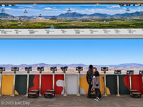
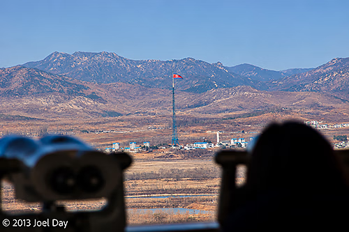
After that, we visited a brand-new train station that they hope will one day be a stop on the way into the north and beyond to China, Russia, and Europe.
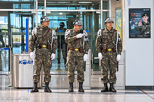
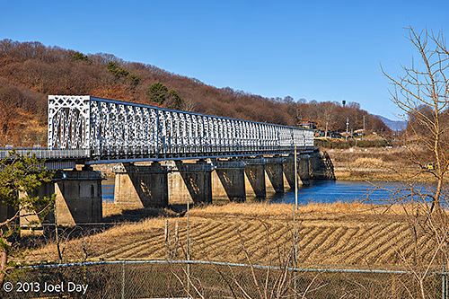
Korean Demilitarised Zone Tour
Map of the route “The DMZ up close and personal”: 5,601 m, 151 m of climbing and 174 m of descent, elevation between 12 m and 143 m, time 00:34:05. It starts at 37.91645, 126.69859 and ends at 37.89935, 126.70954 (latitude, longitude).
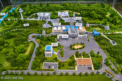
Unfortunately, much of the tour was heavily restricted photographically. It is also possible to get an even closer tour down to the actual border that lasts longer, but it is also much more expensive and requires security clearance several days in advance. I had to settle for this diorama instead…
After the DMZ tour, I rode the bus back into Seoul and hopped the subway to visit the National Museum of Korea – the biggest in the country. It’s interesting to see how South Korea doesn’t really see itself as a ‘South’ because so much of its ancient history is intertwined with the North. Aside from government offices, virtually every institution just refers to itself as ‘Korean’ as though it is patiently waiting for an inevitable reunification with their cousins to the north. The National Museum of Korea was full of ancient artefacts from across the Korean Peninsula that had been held for decades, and it made little effort to distinguish between the two.
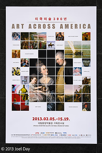
Most museums I visited in Seoul were free, which is always nice, but I noticed a special exhibition that required a fee. It sounded too interesting to pass up, so I coughed up some quid and headed on in. It was titled ‘Art Across America ‘, and I was amazed to see that a good quarter of the exhibit contained paintings and furniture from my hometown, the Philadelphia Museum of Art, including quite a few that I recognised. I also recognised other pieces from LACMA in Los Angeles, which I often visit while in California.
