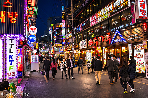
Well, two days into my South Korean visit and I’m quite impressed! It has a bit of a cold, dark, dank Tokyo feel, but that’s probably largely due to the season. It seems much easier to travel around Tokyo than in Tokyo because so many people at least seem to know some English. Those who speak fluent English haven’t been afraid to come out and help me when I’ve looked dazed or confused while trying to find my hotel or navigate the subway system.
My hotel room is TINY, but I knew that when I signed up. It’s only $50 a night, and it had rave TripAdvisor reviews, so I jumped on the deal. It has everything you need (private shower right over the toilet, big HD colour TV, teapot, fridge, bed). I’m very happy with the place, in hip Sinchon, full of funky shops, bars, and restaurants, and right on the excellent subway system. A bit of a university neighbourhood, which is always nice. The people who run it are very nice, speak fluent English, and are very good at offering suggestions on what to see and do.
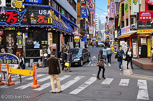
Seoul is very safe, and I’ve found most people very friendly and patient with a foreign-language speaker like myself. I always feel obligated to ask how safe the area is for me to walk around with a camera, and I often get laughed at like it was a stupid question because it IS so safe.
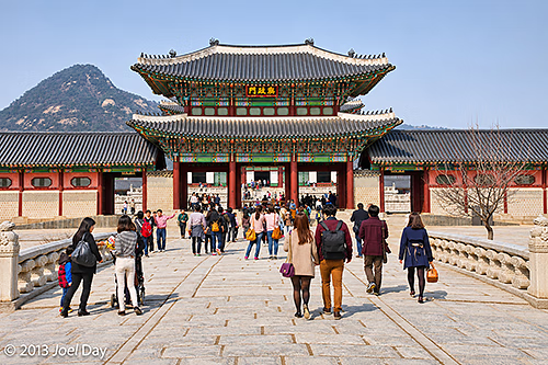
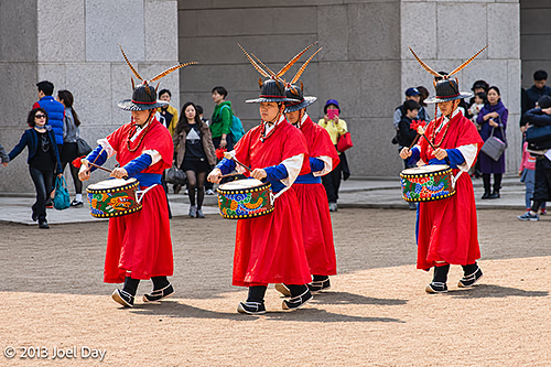
I headed out to Gyeongbokgung Palace to check it out, along with a few other things in the neighbourhood this afternoon. It’s an amazing, huge place that borders the South Korean President’s house in the back. Sadly, the Japanese destroyed the place TWICE over the years, burning it to the ground in 1592 and tearing down a previously restored version during WWII so they could plop their own HQ in its place. Now restored again, we’ll see how long it lasts this time!
Gyeongbokgung Palace Snoop
Map of the route “Funky Seoul”: 2,164 m, 62 m of climbing and 46 m of descent, elevation between 33 m and 58 m, time 01:11:02. It starts at 37.57655, 126.97555 and ends at 37.58135, 126.97818 (latitude, longitude).
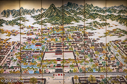
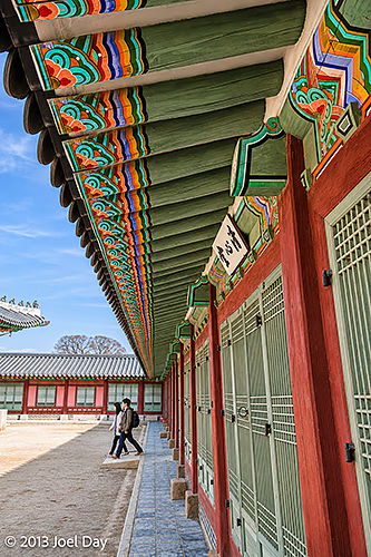
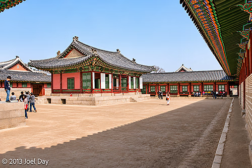
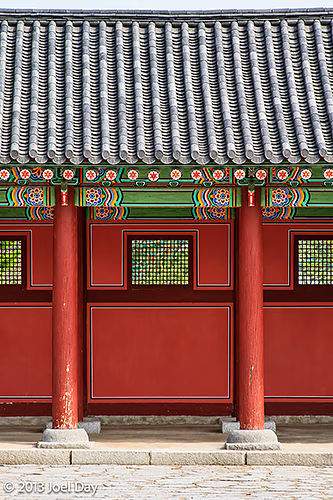
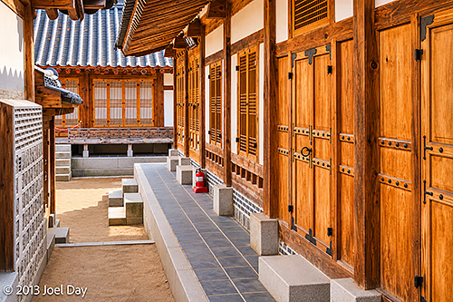
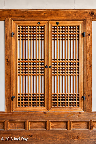
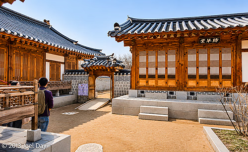
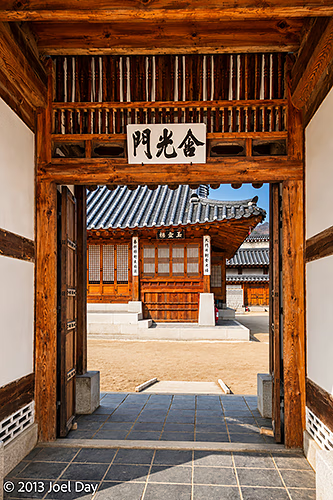
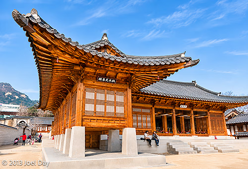
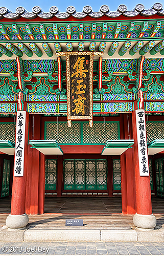
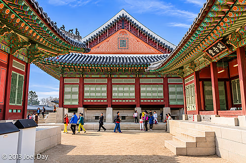
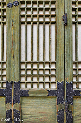
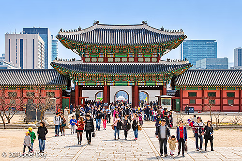
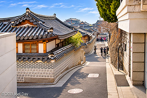
There were a few excellent free museums adjacent to the palace, one on the palace and another on Korean folk art. After leaving the palace, I strolled into a few busy historic neighbourhoods nearby, full of homes and shops preserved in traditional Korean architectural styles and owned by very wealthy people. And packed with many tourists!
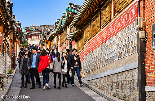
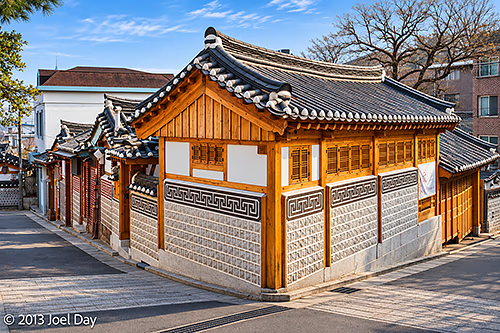
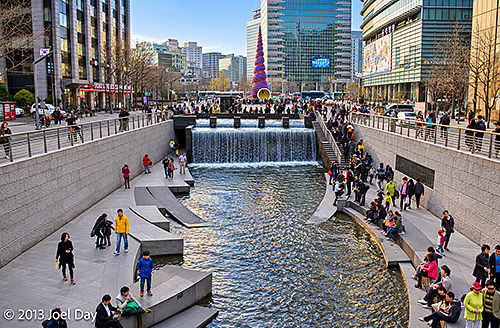
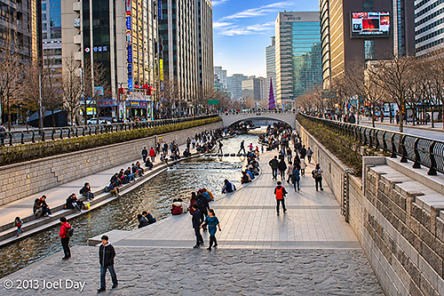
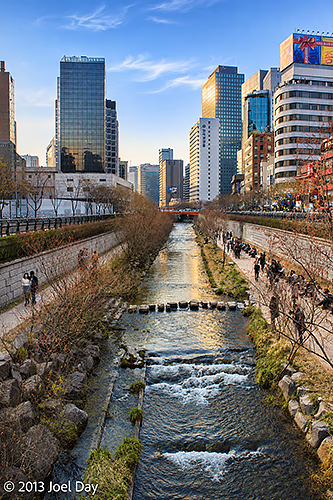
After that, I kept walking south into the centre of town through countless pedestrian malls closed to traffic, until I found a canal running alongside public walkways. Too bad they had a few too many foot-crossing stones permanently affixed – it would have made a great little whitewater paddling circuit!
Seoul Snoop
Map of the route “Funky Seoul”: 4,883 m, 53 m of climbing and 82 m of descent, elevation between 15 m and 54 m, time 01:17:31. It starts at 37.58303, 126.98401 and ends at 37.56599, 126.97741 (latitude, longitude).
