Porcupine Gorge + White Mountains National Park: Porcupine was gorgeous (sorry, Ithaca) and a nice place to camp. I couldn’t book the campsite in advance, but fortunately, there were plenty of spaces available. Only 2 other couples camping.
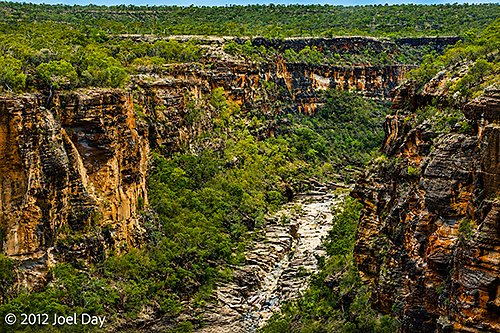
Like Carnarvan Gorge, Porcupine Gorge seemed to have its own micro-climate of lush green tropics, even though the surrounding landscape was brown. It’s an odd name for a national park in Australia that has no porcupines (just echidnas). The name came from European explorers who were referring to the native spiky grass (Triodia) found in the area. The camping was on the ridge at the top, but there was a 1km trail I hiked down to visit the gorge floor first thing in the morning (while it was cool).
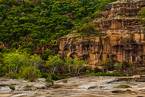
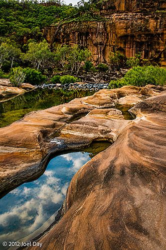
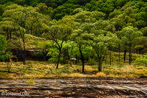
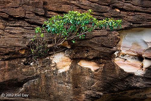
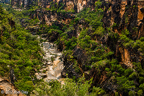
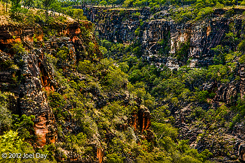
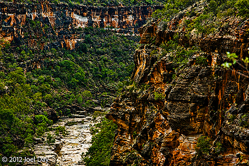
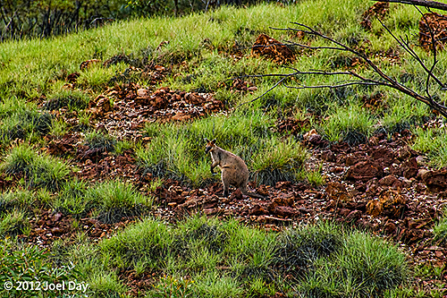
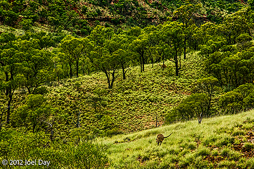
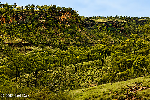
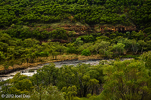
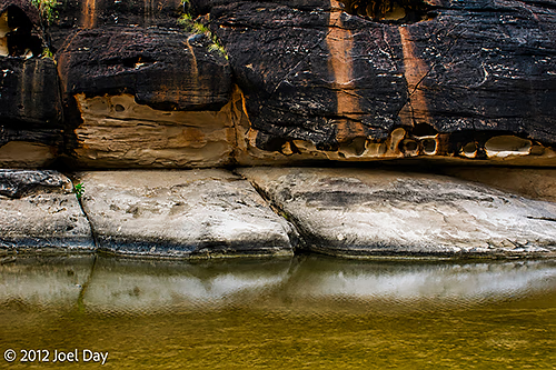
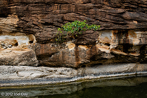
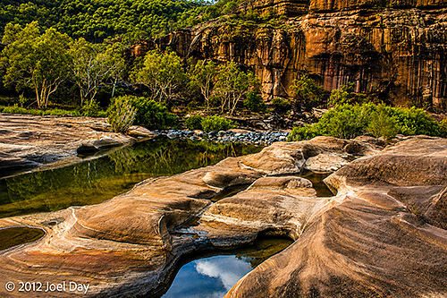
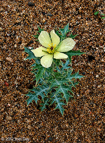
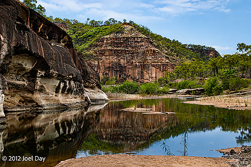
Afterwards, I headed for White Mountains National Park to re-evaluate whether I wanted to camp in the hot, dry, isolated (snake-infested?) place and decided to just mountain bike the 10 km 4WD track in there instead. Racked up 25km round trip (including a little side exploring in the forest), which felt good for a change from driving all the time.
Exploring Porcupine Gorge National Park
Map of the route “Porcupine Gorge”: 3,252 m, 24 m of climbing and 23 m of descent, elevation between 604 m and 615 m, time 00:26:00. It is a loop that starts and ends at -20.34466, 144.46148 (latitude, longitude).
Map of the route “Porcupine Gorge”: 4,107 m, 181 m of climbing and 189 m of descent, elevation between 491 m and 637 m, time 01:35:14. It is a loop that starts and ends at -20.34467, 144.46143 (latitude, longitude).
White Mountains National Park Mountain Biking
Map of the route “Porcupine Gorge”: 23,488 m, 170 m of climbing and 161 m of descent, elevation between 521 m and 619 m, time 01:20:35. It is a loop that starts and ends at -20.64026, 145.16656 (latitude, longitude).
The drives from Canarvon Gorge to Porcupine Gorge National Park investigating isolated campgrounds along the way.
Map of the route “Porcupine Gorge”: 317,406 m, 2,211 m of climbing and 2,442 m of descent, elevation between 142 m and 433 m, time 38:31:05. It starts at -25.07097, 148.27027 and ends at -23.52008, 148.16884 (latitude, longitude).
Map of the route “Porcupine Gorge”: 782,913 m, 2,531 m of climbing and 2,275 m of descent, elevation between 142 m and 552 m, time 10:37:53. It starts at -23.52008, 148.16881 and ends at -20.52386, 145.39944 (latitude, longitude).
Map of the route “Porcupine Gorge”: 361,492 m, 1,653 m of climbing and 1,412 m of descent, elevation between 324 m and 656 m, time 21:43:15. It starts at -20.52087, 145.40155 and ends at -20.34468, 144.46136 (latitude, longitude).
