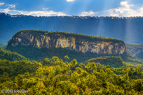
Stumbled across one of the best, most spectacular places I have seen in Australia so far: Carnarvon Gorge. And to think I wasn’t even planning to visit the place. They only had official park service camping available after a 10km hike in, so I had anticipated giving it a miss. But seeing how most camp sites I have been to have been far less crowded than expected, I decided to call Takarakka Bush Resort, a private campground within the boundaries of the national park that I had read about, to see if they might have room for me and my tent – and they did.
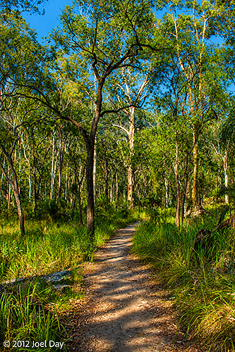
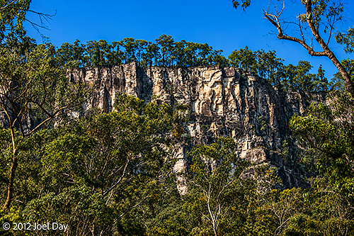
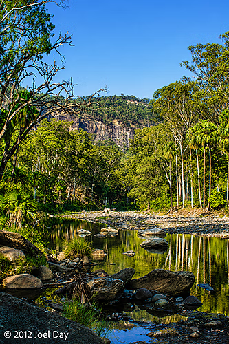
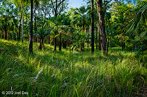
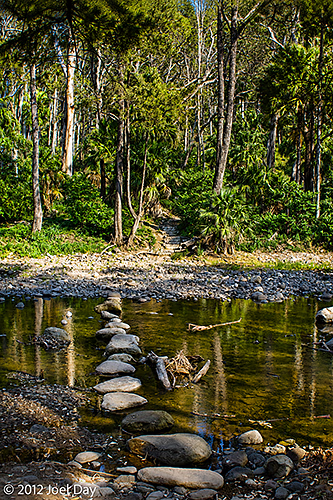
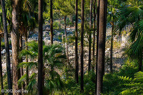
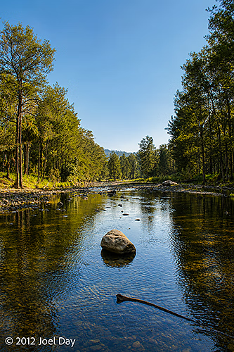
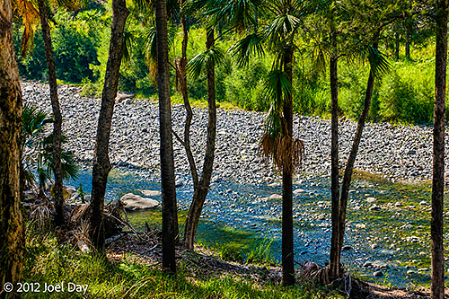
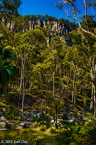
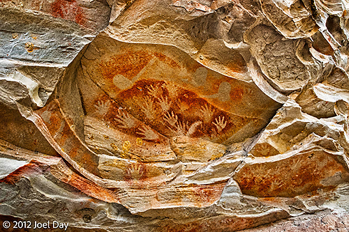
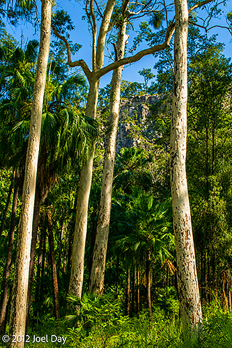
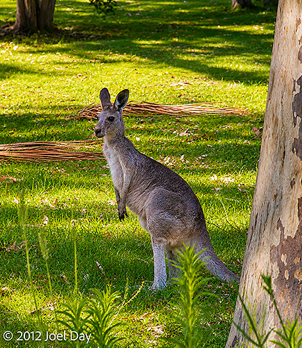
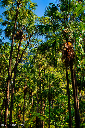
The drive into the park was really quite spectacular, starting with a pretty ordinary, dull brown flat drive (it had been pretty average since I left Wilcannia, NSW), then a noticeable greening of the landscape, and finally a full-blown, rich green forest sitting in a micro-climate with spectacular drops into deep gorges. I did a few short walks on the first day, including one into a nice, cool rock pool for a swim that evening, before doing another short hike up to see some cool old Aboriginal cave paintings. On the second day, I did a bit of hiking up into the beautiful gorge. It was an extremely beautiful place. I would definitely say it’s one of the top things to see in Australia!
A few hikes around the area
Map of the route “Carnarvon Gorge”: 1,105 m, 42 m of climbing and 44 m of descent, elevation between 351 m and 388 m, time 00:23:14. It is a loop that starts and ends at -25.06966, 148.27049 (latitude, longitude).
Map of the route “Carnarvon Gorge”: 2,946 m, 140 m of climbing and 123 m of descent, elevation between 267 m and 337 m, time 00:51:45. It starts at -25.06702, 148.24559 and ends at -25.07415, 148.24928 (latitude, longitude).
The drive from Charleville to Carnarvon Gorge
Map of the route “Carnarvon Gorge”: 501,631 m, 2,954 m of climbing and 2,874 m of descent, elevation between 292 m and 618 m, time 09:39:12. It starts at -26.39590, 146.25237 and ends at -25.07112, 148.27056 (latitude, longitude).
