Australia, Tasmania

Overland Track Day 2: Waterfall Valley to Lake Windermere

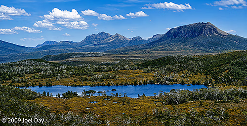
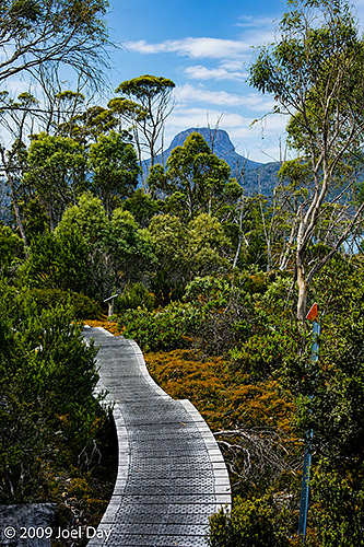
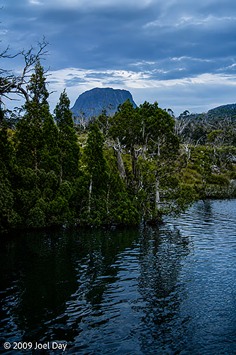
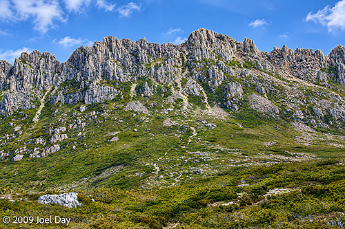
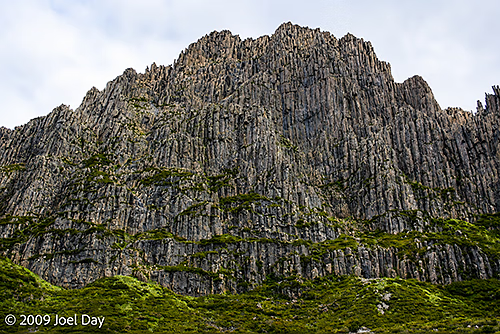
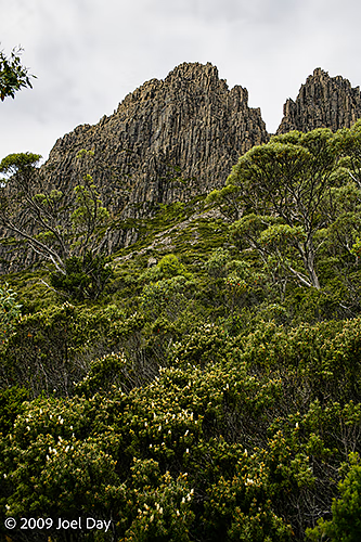
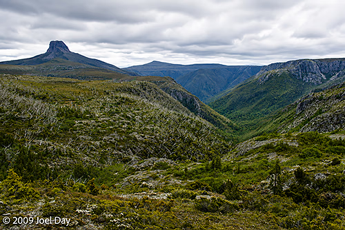
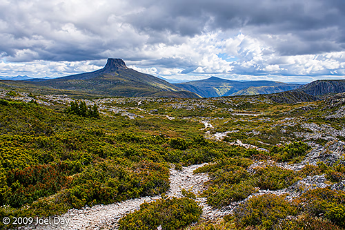
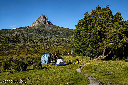
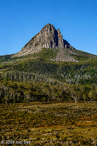
Barn Bluff (1559 m) behind Waterfall Valley Camp, Overland Track, Tasmania

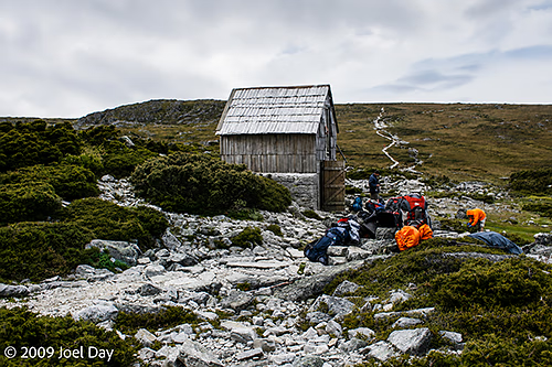
The only hut we came to with an active park ranger was this first Waterfall Valley hut. He explained to us that part of his job was to ensure everyone was fully prepared for the next six days of wilderness hiking. He also needed to decide if anyone needed to be sent back to the start line. He gave an example of some hikers with backpacks full of instant noodles and nothing else. They weren’t permitted to proceed. We were very well prepared with dehydrated dinners and water filters and purifiers for use with the pristine rivers and lakes along the way. And we had all the proper gear for the week. It helped that some in our group had done the hike before.
Waterfall Valley Camp, Overland Track, Tasmania

After a nice rest at the Waterfall Valley Hut camping area, where we got our lesson on how to leave no trace for the rest of the Overland Track hike – which even went as far as providing strict instructions on where to spit our toothpaste so it could be helicoptered out of this pristine environment with the other camp waste. Day 2 seemed to be a much more relaxing hike and included an easy side trip to Lake Will, where we stopped for lunch. Overall, 7.8 km, taking 2.5-3.5 hours.
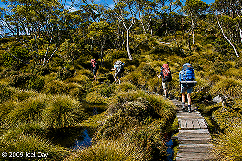
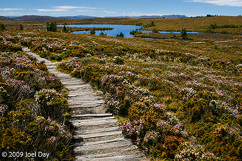
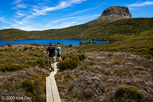
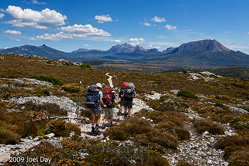
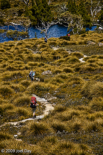
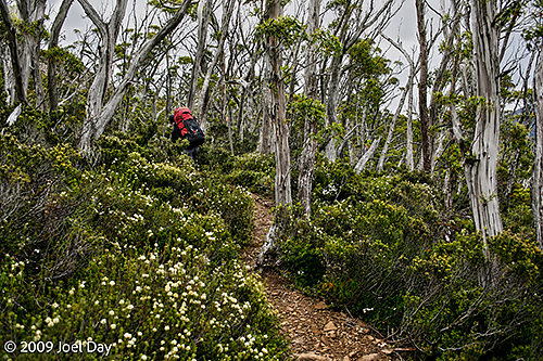
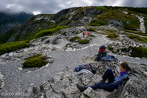
Hikers along the Waterfall Valley to Lake Windermere segment of the Overland Track, Tasmania
Barn Bluff (1559 m) near Waterfall Valley Camp, Overland Track, Tasmania

There were a number of side trips Overland Hikers could do along the main trail. Some were easier than others. We decided to do the easier Lake Will side trip for a bit of a lunch break. It was only 3 km round trip off the main trail. There were places where hikers could rest their full backpacks and just take day packs for these side hikes. The ranger warned us about very smart thieves that might get into our packs. The thieves weren’t human; they were very smart birds who could unzip zippers to reach the contents of your pack, so we had to make sure all the zippers were hidden.
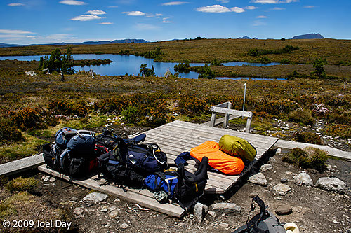
Backpack storage area for side trips to Lake Will along the Waterfall Valley to Lake Windermere segment of the Overland Track, Tasmania
Lake Will side trip along the Waterfall Valley to Lake Windermere segment of the Overland Track, Tasmania
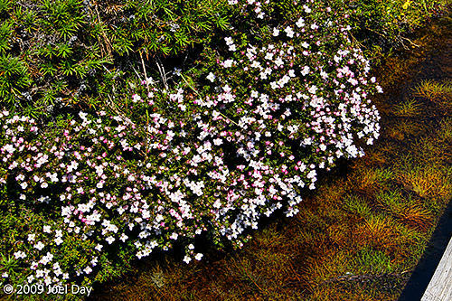
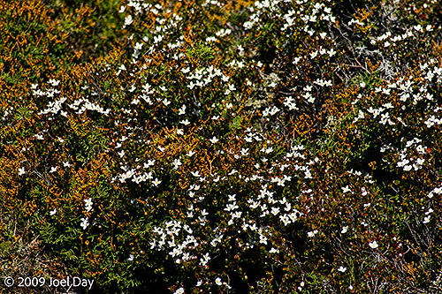
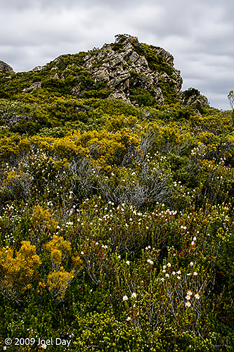
Wildflowers along the Lake Will side trip off the Waterfall Valley to Lake Windermere segment of the Overland Track, Tasmania
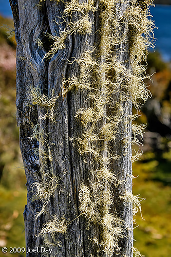
Old moss-covered post near Lake Will along the Waterfall Valley to Lake Windermere segment of the Overland Track, Tasmania
Lake Will side trip along the Waterfall Valley to Lake Windermere segment of the Overland Track, Tasmania
Wildflowers along the Lake Will side trip off the Waterfall Valley to Lake Windermere segment of the Overland Track, Tasmania
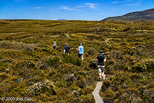
Hikers along the Waterfall Valley to Lake Windermere segment of the Overland Track, Tasmania
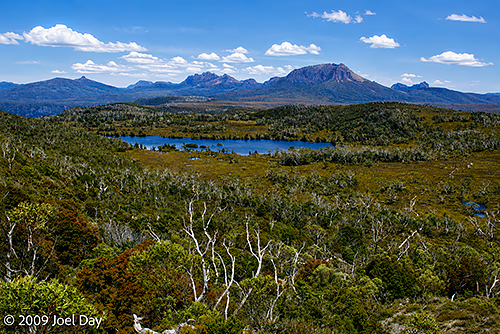
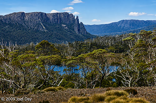
Wilderness views along the Waterfall Valley to Lake Windermere segment of the Overland Track, Tasmania
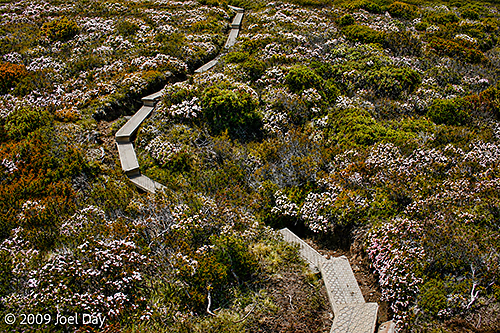
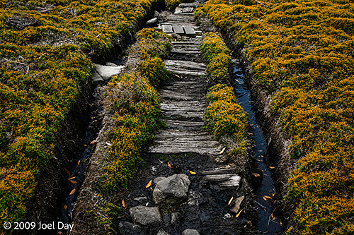
Worn out stretch of the Waterfall Valley to Lake Windermere segment of the Overland Track, Tasmania
Wilderness views along the Waterfall Valley to Lake Windermere segment of the Overland Track, Tasmania
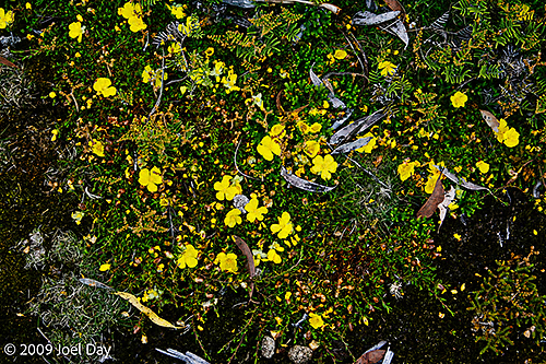
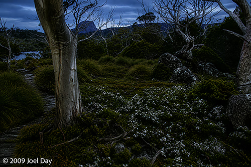
Wildflowers along the Waterfall Valley to Lake Windermere segment of the Overland Track, Tasmania
Wilderness views along the Waterfall Valley to Lake Windermere segment of the Overland Track, Tasmania
Hikers along the Waterfall Valley to Lake Windermere segment of the Overland Track, Tasmania
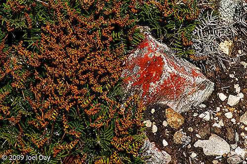
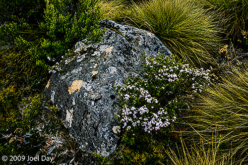
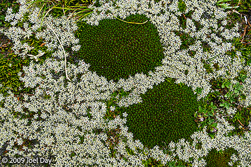
Lichen covered rocks and wildflowers along the Waterfall Valley to Lake Windermere segment of the Overland Track, Tasmania
Wildflowers along the Waterfall Valley to Lake Windermere segment of the Overland Track, Tasmania
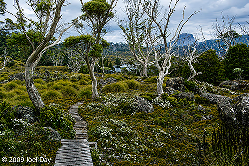
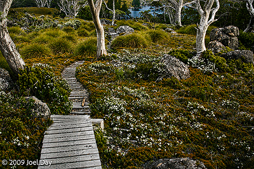
Hiking trail along the Waterfall Valley to Lake Windermere segment of the Overland Track, Tasmania
Evening side trip to Lake Windermere, Overland Track, Tasmania

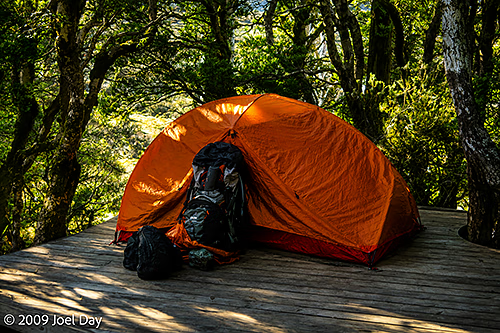
After our day of hiking in beautiful weather, we arrived at the Lake Windermere campsite. We stumbled across a spotted quoll lurking beneath our tent platform, but he was too quick for my camera. We pitched our tents on platforms, ditched our packs, and made our way down to nearby Lake Windermere to cool off by its pristine waters.
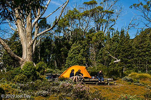
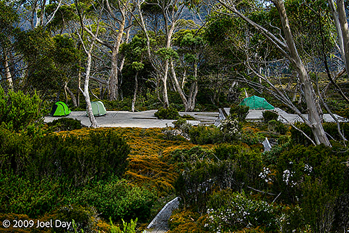
Campers near Lake Windermere, Overland Track, Tasmania
Lichen covered rocks and wildflowers along the Waterfall Valley to Lake Windermere segment of the Overland Track, Tasmania
Evening side trip to Lake Windermere, Overland Track, Tasmania
Australia, Tasmania

Overland Track Day 1: Ronny Creek to Waterfall Valley

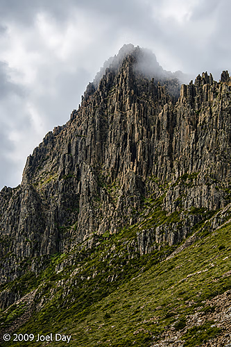
Cradle Mountain, Overland Track, Tasmania

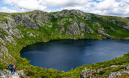
We started a seven-day trek on the Overland Track, one of Tasmania’s most famous hikes. This hike is limited to 34 hikers starting each day and must be booked well in advance. I think we booked back in August. The first day was quite gruelling, with a steep climb up into the Tasmanian high country, but it offered beautiful views of Crater Lake and Cradle Mountain. Today’s hike was 10.7 km, taking about 4-6 hours.

Crater Lake, Overland Track, Tasmania

We arrived at the Waterfall Valley hut for the night, only to discover that the fuel compartment of my Trangia stove was sealed shut due to pressure changes at the higher elevation. Fortunately, there was a ranger at the hut who seemed to be there to ensure everyone was equipped and ready for the next six days of the hike. After trying several strategies to open the fuel burner in his workshed, he found that good old WD-40 did the job.

Overland Track near Cradle Mountain, Tasmania
Cradle Mountain, Overland Track, Tasmania
Historic Kitchen Hut, Overland Track, Tasmania
Overland Track near Cradle Mountain, Tasmania
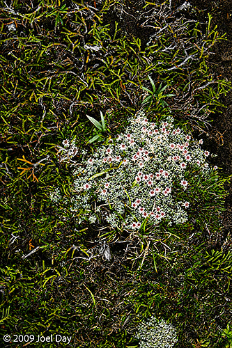
Tasmanian cushionplant (Abrotanella forsteroides) and snow cushionplant (Donatia novae-zelandiae) found along the Overland Track, Tasmania
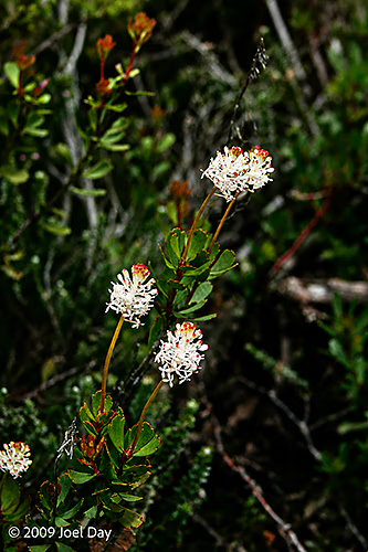
Bushman’s bootlace (Pimelea nivea) along the Overland Track, Tasmania
Overland Track near Cradle Mountain, Tasmania
Cradle Mountain, Overland Track, Tasmania
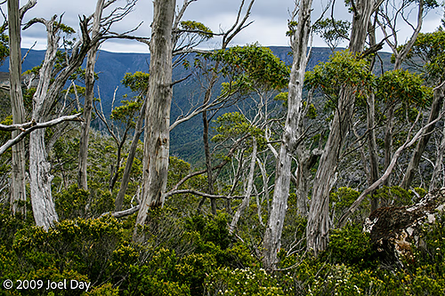
Overland Track near Barn Bluff, Tasmania
Tasmanian cushionplant (Abrotanella forsteroides) found along the Overland Track, Tasmania
Australia, Tasmania

Second City Tasmania

Spent the night at a hostel in Launceston, Tasmania’s second-largest city. Just enough time to pick up a fellow traveller and stock up on supplies before the big hike. It isn’t a huge city, but it had a nice park to snoop around while we were there.

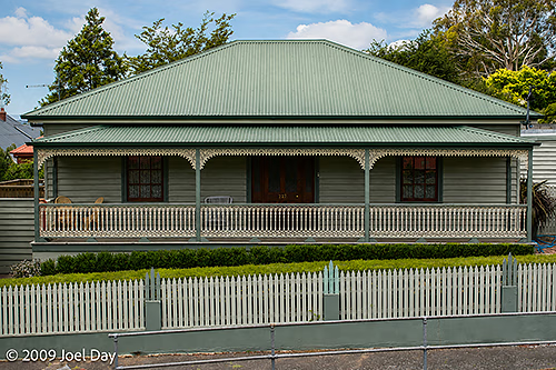
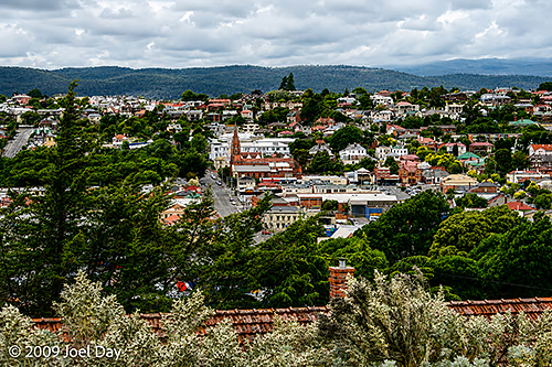
Launceston, Tasmania
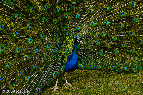
Peacock roaming the Cataract Gorge Reserve, Launceston, Tasmania
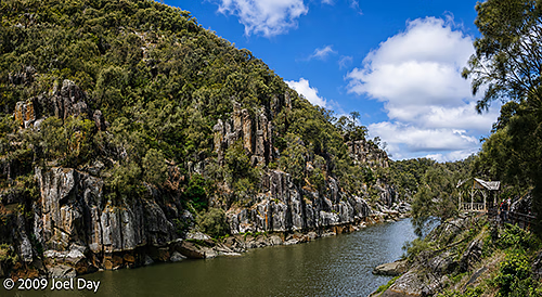
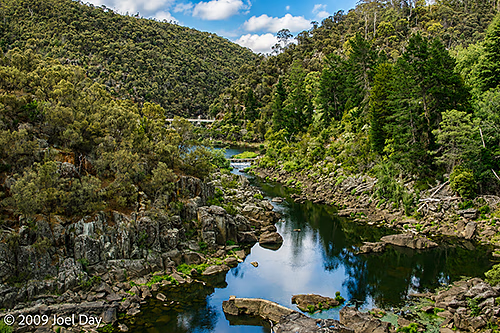
Cataract Gorge Reserve, Launceston, Tasmania
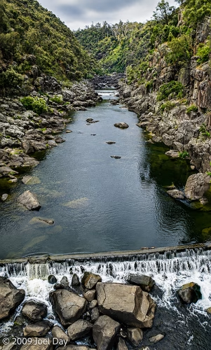
Launceston, Tasmania
Australia, Tasmania

Freycinet National Park

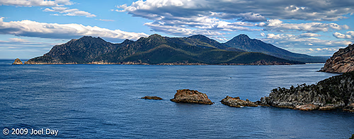
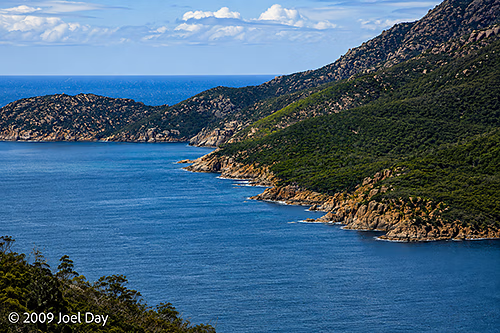
Panoramic View from Cape Tourville, Freycinet National Park, Tasmania

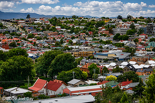
Flew into Hobart, Tasmania, for the first time, where I had a quick chance to snoop around the western suburbs before heading up the coast to visit the famed Freycinet National Park with some friends. Being farther south than the rest of Australia, we were able to enjoy very long days with late sunsets thanks to Daylight Saving Time and our greater distance from the Equator. I don’t think we even started looking for campgrounds until about 8 pm.

Panoramic View from Cape Tourville, Freycinet National Park, Tasmania

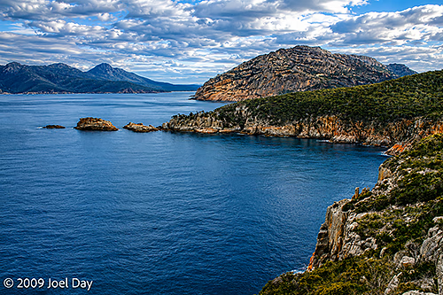
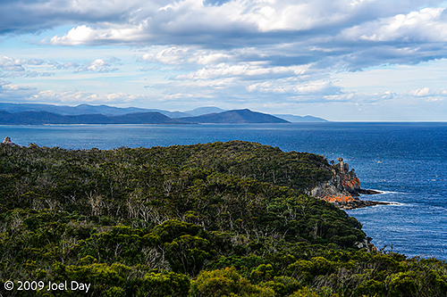
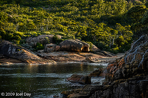
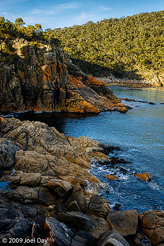
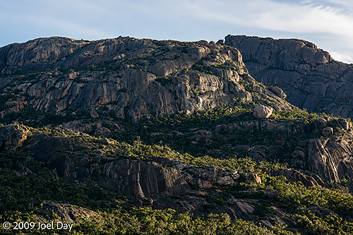
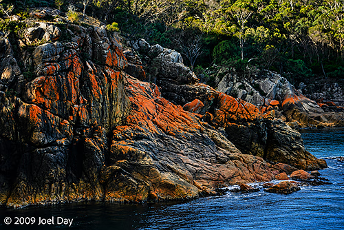
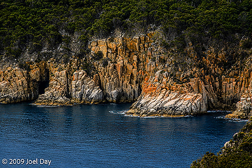
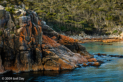
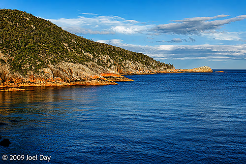
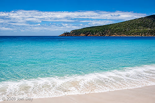
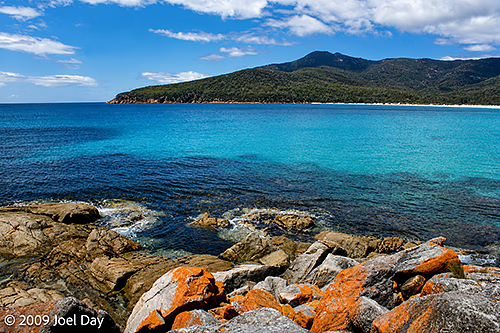
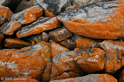
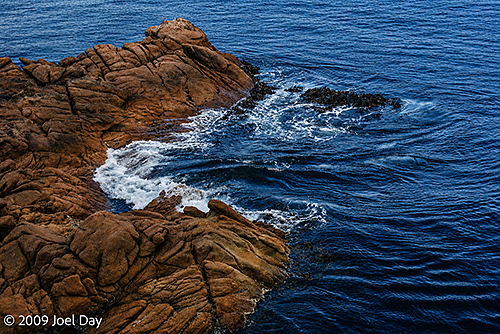
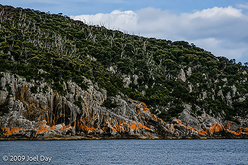
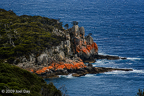
Freycinet National Park was very beautiful, with turquoise waters and bright orange lichen-covered rocks. We hiked a number of trails in the area to enjoy the views.

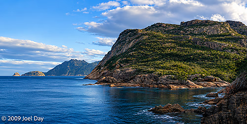
View from Cape Tourville, Freycinet National Park, Tasmania
Freycinet National Park, Tasmania
Lichen Cliffs of Freycinet National Park, Tasmania
Freycinet National Park, Tasmania
Lichen Cliffs of Freycinet National Park, Tasmania
View from Cape Tourville, Freycinet National Park, Tasmania
Lichen Cliffs of Freycinet National Park, Tasmania
View from Cape Tourville, Freycinet National Park, Tasmania

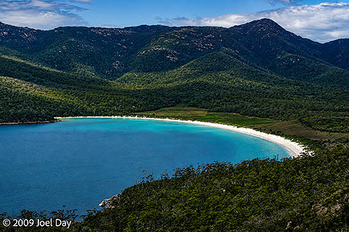
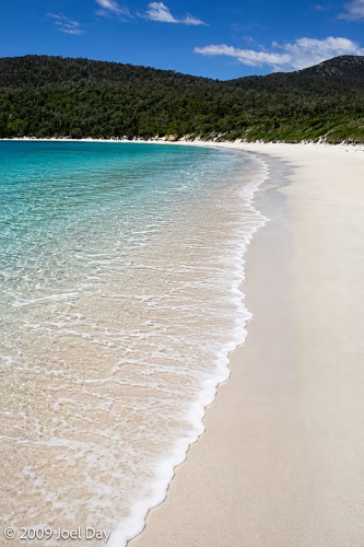
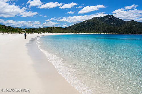
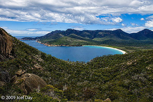
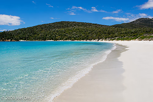
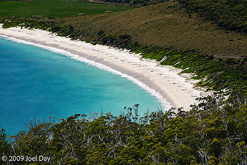
The next day we headed out for a hike down to Wineglass Bay and took the obligatory dip.

Wineglass Bay, Freycinet National Park, Tasmania
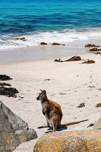
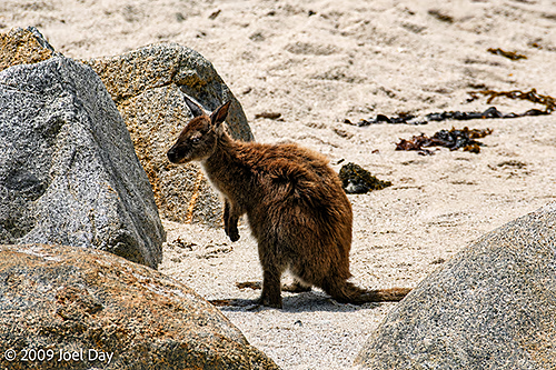
Wallaby on Beach along Wineglass Bay, Freycinet National Park, Tasmania
Wineglass Bay, Freycinet National Park, Tasmania
View from Cape Tourville, Freycinet National Park, Tasmania
Wineglass Bay, Freycinet National Park, Tasmania
Wallaby on Beach along Wineglass Bay, Freycinet National Park, Tasmania
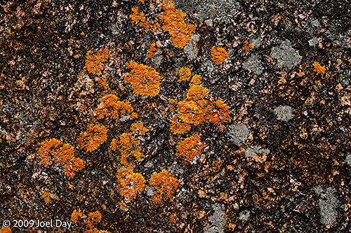
Lichen on rocks around Freycinet National Park, Tasmania
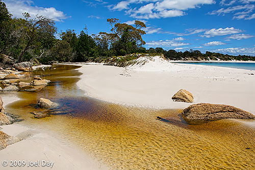
Stream draining into Wineglass Bay, Freycinet National Park, Tasmania
Lichen on cliffs around Freycinet National Park, Tasmania
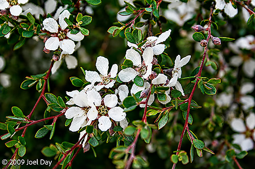
Smoky tea-tree (Leptospermum glaucescens) in Freycinet National Park, Tasmania
Sunset over Freycinet National Park, Tasmania
Australia, Western Australia

Back to Perth, Earth

Yes, I’ve finally made my way back to Perth — after a choppy flight from Bangkok. Choppy enough for half the crowd on the plane to burst into applause when we finally touched down. Perth can get pretty windy at times and it was a real roller coaster coming in.

The weather here right now is perfect: just like those cool dry Canadian summer days of yore. Perth’s having an unusually cool summer this year. Hasn’t hit 40C (104F) yet (according to the taxi driver who took me home from the airport)!

Bangkok, Thailand

The Quiet Side of Bangkok

I seemed to have some sort of stomach virus over my last few days in Bangkok. Either that or food poisoning. The thought of certain Thai foods still makes me want to run to the bathroom 🙂

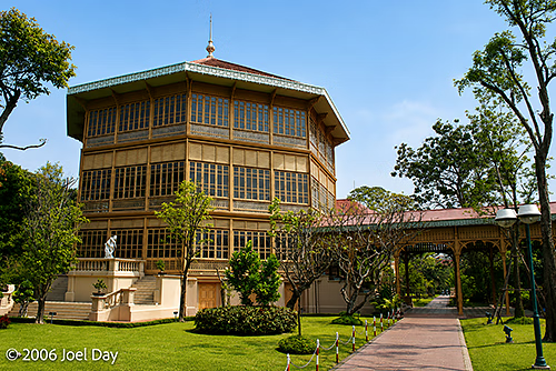
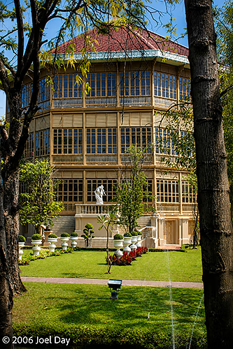
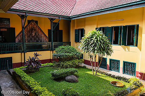
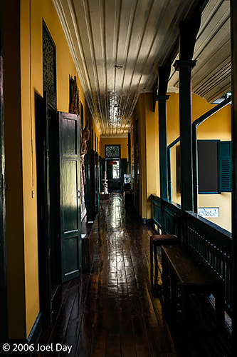
Vimanmek Teak Mansion, Bangkok, Thailand

While in a fairly weak state, I finally managed to get around and see the Vimanmek Teak Mansion — which is a bit hard to reach by public transportation, so I had been putting it off.

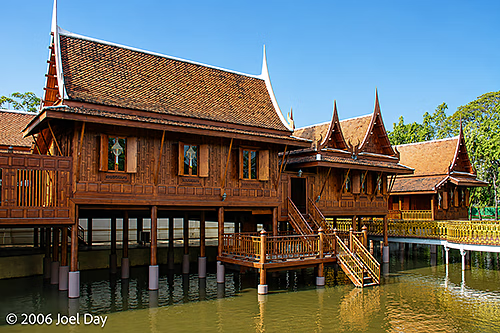
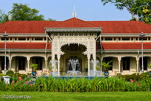
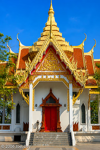
Traditional Thai pavilions beside Vimanmek Mansion, Dusit Palace, Bangkok, Thailand
Vimanmek Teak Mansion, Bangkok, Thailand

It seems that years ago, the King of Thailand visited Europe, where he met other heads of state and decided he, too, needed a royal palace (like they all had). It was very impressive, I must say. Built in the 1800’s, it’s the largest teak mansion of its kind in the world, with over 80 rooms. It was briefly used as the Thai White House (so to speak) and continues to be used to entertain foreign dignitaries. You need to walk barefoot to protect the flooring. All wood, everywhere.

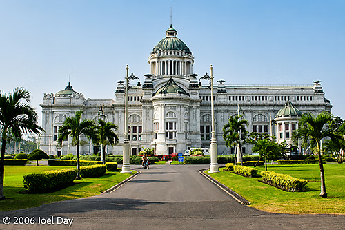
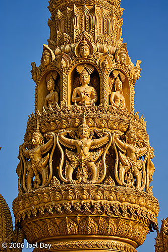
Ananta Samakhom Throne Hall, Dusit Palace, Bangkok, Thailand
Abhisek Dusit Throne Hall, Dusit Palace, Bangkok, Thailand

There were plenty of other interesting little buildings to snoop around in the compound, most of which contained artwork or Thai crafts. It was a nice place to get away from the usual hustle and bustle of Bangkok. I had to keep taking sit-down breaks to regain my strength, however.

Kanchanaburi Province, Thailand

Journey on the Death Railway

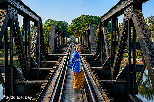
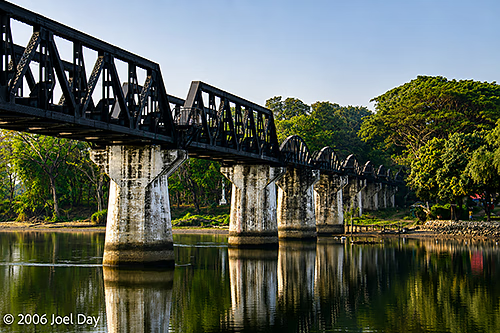
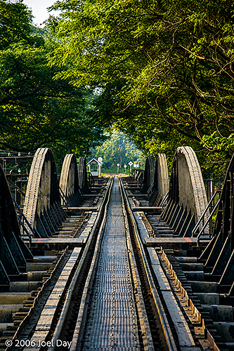
Bridge over the River Kwai, Kanchanaburi, Thailand

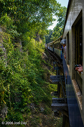
Well, I’m back in Bangkok, having taken the Death Railway here bright and early this morning. Fortunately, there were no unforeseen circumstances. I’m not sure who coined the phrase “Death Railway”, but I figure Rupert Murdoch must have had a hand in it. It sounds like a headline from one of his tabloids.

Death Railway Train Ride near Kanchanaburi, Thailand

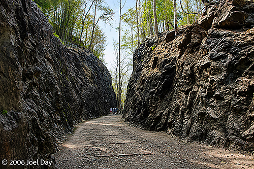
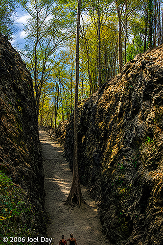
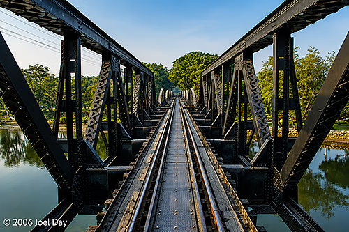
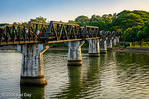
Actually, the “Death Railway” runs over the “Bridge Over the River Kwai” and was built under the direction of the Japanese during their occupation of Thailand during WWII. It was meant to provide Japan with an alternative supply route, allowing it to expand into India and Iran. The sad thing is that over 100,000 people died building it.

Hellfire Pass (Konyu Cutting), Thai-Burma Death Railway, Kanchanaburi Province, Thailand

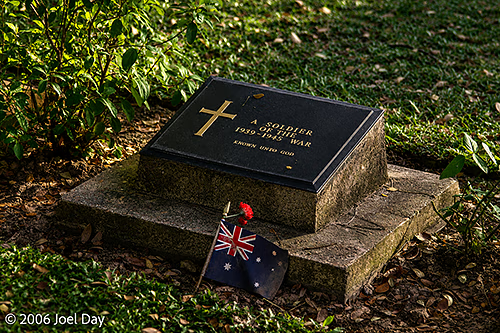
Most of them were Indian, Chinese, and Malay labourers, but thousands were Allied POWs. Most of the POWs were from Australia, Britain, and Holland, so I’m not sure Americans know much about it. The bridge was obviously targeted by the Allies to disrupt the route. The alternative was for the Japanese to use the sea, but that route was too easily attacked.

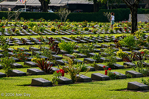
Australian POW Grave in Kanchanaburi, Thailand
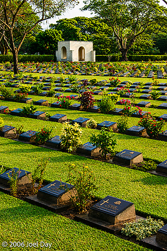
Prisoner of War Graves in Kanchanaburi, Thailand

Anyway, there are a number of really good museums on the whole thing. It’s a sobering thing to visit the area knowing about all the deaths, horrible conditions, and hardship that went into building it. Most of the railway was immediately dismantled after the end of WWII, but one leg of it remains back into Bangkok (which I rode this morning). There are big, well-manicured Allied cemeteries around the area. I was surprised to learn that those homemade radios hidden into broom handles on Hogan’s Heroes were actually based on fact! The museums had samples. Google “Death Railway”, “Hellfire Pass”, or “Bridge over the River Kwai” if you want to know more.

Bridge over the River Kwai, Kanchanaburi, Thailand

I have a couple of days here in old BKK before I hop on my flight back to Perth (Sunday). I’ve been hoping to do a bit of shopping before I return. Had ideas for cheap clothing, but I’ve noticed waist sizes only go up to “30” around here. I haven’t been THAT size since high school!

Kanchanaburi Province, Thailand

Next to that bridge…

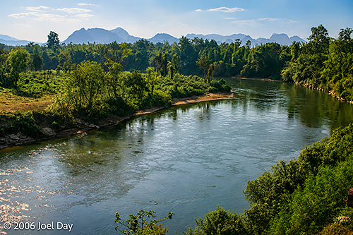
After an exciting week of ramming back and forth between eastern and western Thailand, I’ve decided to chill out in a sweet suite here in Kanchanaburi, just up the road from that famous “Bridge over the River Kwai”. It’s a lot touristier than Ubon, the place at the opposite end of the country where I just came from. I think I would have preferred something a bit in-between. At least there should be a lot to do here.

Bridge over the River Kwai, Kanchanaburi, Thailand

Although I managed to get the last sleeping berth on the train, it wasn’t quite as nice as the overnight train I took to Chiang Mai last year. I was stuck with an upper bunk, which has little headroom and little ventilation. I was sweating, lying in bed for hours before I could fall asleep. There was a vent up on my ceiling, but when I opened it up, a bunch of black, dusty crud fell down out of it and onto my nice, clean pillow. Yuck!

Mountainous terrain along the Thai-Burma border west of Kanchanaburi, Thailand

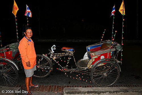
I did eventually get to sleep for about 4-5 hours, so it wasn’t so bad. Getting the bus out here to Kanchanaburi from Bangkok was a lot easier. I have to confess to being somewhat embarrassed when I arrived. After hopping off the bus, a man I thought was a taxi driver plugged his taxi service, even though there was no taxi in sight. I agreed to the price, and he escorted me to his bicycle rickshaw. I felt like such a colonialist in the back of that thing as he peddled a good mile or two out to my guesthouse. Poor guy. He was probably older than me. I made sure to give him a good tip.

Cycle Rickshaw, Thailand

This is a very popular weekend destination for Thais as well as Western backpackers. The weather is definitely more humid than in Ubon, but it isn’t nearly as hot as in Ayutthaya.
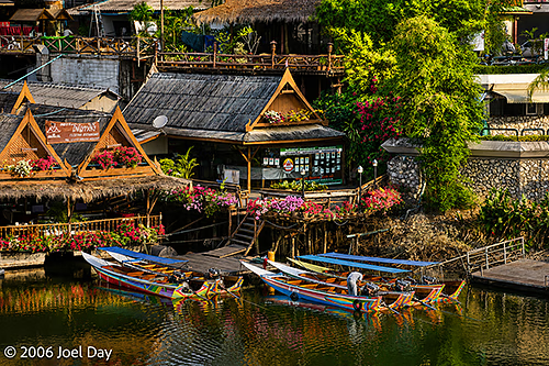
Kanchanaburi, Thailand
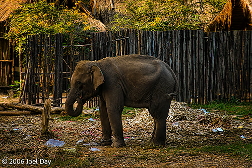
Elephant near Kanchanaburi, Thailand
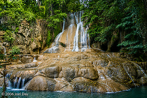
Waterfall in Erawan National Park, near Kanchanaburi, Thailand
Thailand, Ubon Ratchathani Province

Exit, Stage Left

Well, Ubon has turned out to be somewhat of a fizzle in my eyes. I have a feeling there is a bit of a push to promote this region of Thailand. Tourism here seems largely undeveloped, probably due to the fact that it was more or less off-limits to tourists for security reasons up through the late 1990’s with Khmer Rouge activity in the area.
Ubon Ratchathani National Museum, Ubon Ratchathani, Thailand

Perhaps the feeling is that tourists need to come first before tourist businesses are worth setting up. There are a few things to see in town, including a decent historical museum, but I managed to get through most of what’s available in less than a day. The surrounding area is supposed to have some worthwhile excursions, but there aren’t any tours heading to them because, I was told by the Thailand tourism authority, “There aren’t enough tourists”. And while you could try to negotiate transportation with a local driver, it is hard to find anyone who understands what you want. Most businesses here, including my hotel, seem to treat me as more of a nuisance than anything else. I get the impression that most Westerners who visit here are only stopping on their way to or from Laos (which is just over the border).

Thung Si Mueang, Ubon Ratchathani, Thailand

Instead of spending the next five days here, milling about town and seeing shops like those in other parts of Thailand, I think I’m going to hop the overnight train to Bangkok and an early-morning bus to Kanchanaburi, clear over on the other side of Thailand near the border with Myanmar (aka Burma). Hopefully they still have sleeping berths available!

Thailand, Ubon Ratchathani Province

Onward and Outward

After a bit of debate about where to head next, I was enticed into riding the rails to Ubon at the end of the eastern train line. Not only was Lonely Planet hyping its “emerald triangle” status, but local Thai tour industry professionals also advised me it was worth a visit.

I enjoyed my stay in Pak Chong and found the small city to be quite nice to hang out in. It wasn’t too big, and it seemed very well groomed and cared for. It actually reminded me somewhat of a Thai version of small-town America. Even the night market there seemed exceptionally clean and diverse, with a wide range of luscious foods to try and things to buy. But my time had come to get back on the train and keep heading east.

I carefully scrutinised the train schedule to make sure I didn’t end up on another 3rd class-only train, but that is precisely where I ended up for the scheduled 7-hour journey to Ubon Ratchathani. This time the train wasn’t so crowded, but the comfort level was otherwise the same: hard wood bench seating and big open windows.

I managed to find a group of six bench seats to call my own and spread out over, which didn’t make it so bad. It’s nice to be able to gaze out the window without anything obstructing your view. There were endless fields of cassava (manioc, which we learned about in geography class years ago) and rice paddies, although not much rice growing this time of year (the dry season). There were also quite a few mysterious plantations of what appeared to be blue gum trees that reminded me somewhat of Australia. There were quite a few water buffalo wandering the fields and dunking themselves in ponds near the tracks. Occasionally, the train would have to stop until one of them got back on the tracks.

The most frustrating delay came at the Korat train station, where we just sat for 1.5 hours with no explanation. Or, at least, no explanation in English! I could not tell what was going on and couldn’t ask anyone else because I was the only Westerner on board. It was quite frustrating and uncomfortable to bake there in the heat of the day with no breeze, but eventually we got going again. It seemed there was some problem with the engine, which they eventually replaced. Throughout the ordeal, a nonstop barrage of food vendors would walk past the windows, shrieking in your ear as they tried to hawk their snacks and meals in Thai. I just had to point at what I wanted to get fed. They would trace the number of baht required for payment on the palm of their hand to tell me how much it cost.

Thung Si Mueang, Ubon Ratchathani, Thailand

Eventually, about 2 hours late, we arrived at the distant city of Ubon Ratchathani (or just Ubon, as they seem to like to call it). It was getting late, and I hadn’t eaten a decent meal all day, so I hit the streets after checking into my hotel and mimed my way into some food. Nobody seems to speak English here.