I spent the night in Nuwara Eliya, nestled in the mountains near Sri Lanka’s highest peak, Pidurutalagala (Mount Pedro), at 2,524 m. It’s a beautiful old town where the British used to send people during the hottest months to cool off. The town, often called “Little England”, is still full of big, luxurious British government homes, a big golf course, and a horse racing track. Today many of the big homes are either hotels or occupied by the very wealthy.
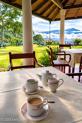
It is downright cold at night, and I had to bundle up in thermals to sleep – which always seems a bit weird in the tropics. The area is surrounded by market gardens, tea plantations, and spectacular views.
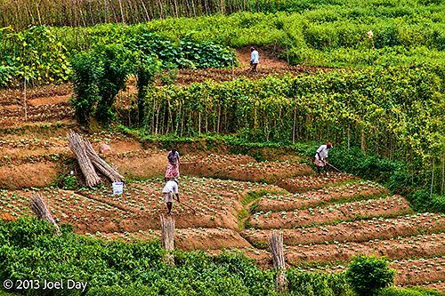
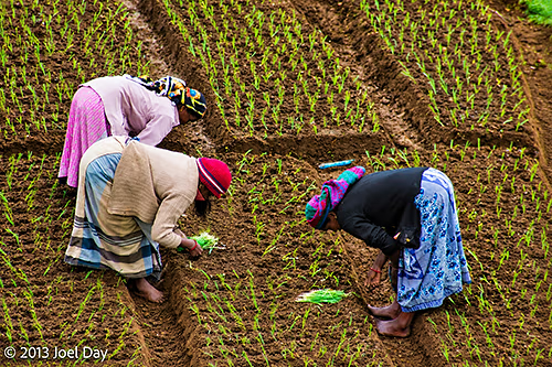
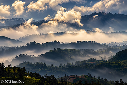
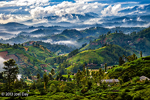
The drive down was really spectacular first thing in the morning, with amazing views off the highlands through the dreamy morning mist and down into valleys of terraced market gardens and tea plantations. At least, I thought so. My driver could not understand why I kept asking him to pull over so I could take these pictures. He eventually relented.
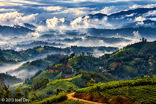
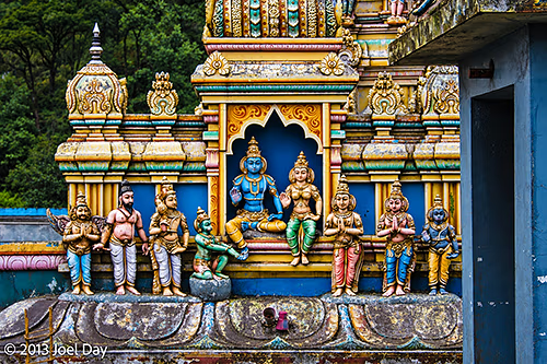
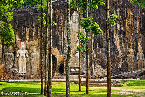
From there, my driver and I descended back to hot, humid sea level, stopping at a few more temples along the way before eventually arriving at the world-famous Yala National Park.
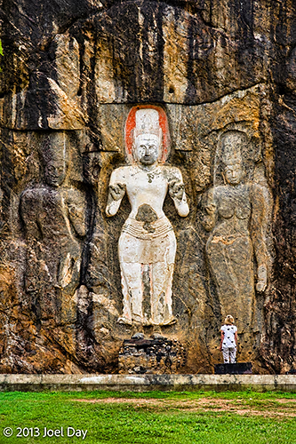
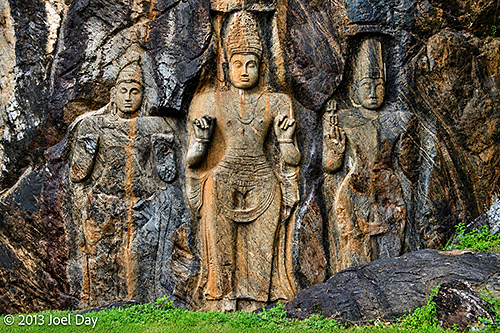
The Drive from the Central Highlands to Yala National Park
Map of the route “From the Central Highlands down to Yala National Park”: 138,115 m, 615 m of climbing and 2,374 m of descent, elevation between 82 m and 1,860 m, time 05:21:05. It starts at 6.96097, 80.76807 and ends at 6.28501, 81.29249 (latitude, longitude).
