After another long day of driving, I finally managed to punch through – out of the Tropic of Capricorn to nice dry Mediterranean-style weather. What a relief it is to be able to take a bike ride without sweating profusely at the slightest effort. I’ve arrived in a nice little launch pad for Fraser Island that is VERY bike-friendly, has endless beaches, a good ~20km bike path the entire way, a bike-friendly 1km long pier/jetty, nice stinger-free and croc-free swimming, and not too much commercialism or elite resorts clogging the place up. My kind of place, Hervey Bay. It seemed very community-oriented. I’m checked into a YHA here and was a bit taken aback to find no air conditioning, but I don’t think I’ll need it since it is cooling off nicely. Must be in the middle of pineapple land because I’ve seen quite a few roadside stands selling nothing but pineapple since I got here.
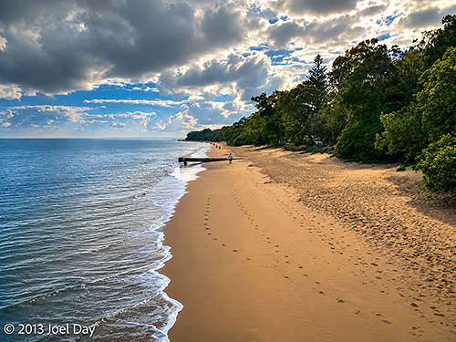
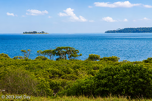
Hervey Bay Coastal Ride & Swim
Map of the route “Bike Friendly Hervey Bay”: 19,062 m, 285 m of climbing and 278 m of descent, elevation between -57 m and 16 m, time 01:32:19. It is a loop that starts and ends at -25.29602, 152.90351 (latitude, longitude).
Harvey Bay also looks like a nice, cruisy place for sea kayaking, with no swell, clear waters, and a fantastic place to explore just across the bay (Fraser Island). Just as long as the wind doesn’t kick up, as it always seems to do in the afternoon.
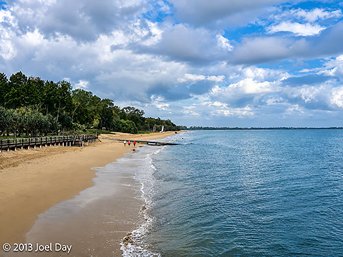
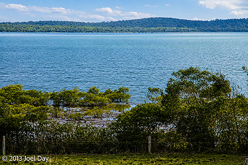
Hervey Bay Cruise
Map of the route “Bike Friendly Hervey Bay”: 39,004 m, 307 m of climbing and 314 m of descent, elevation between 4 m and 31 m, time 03:53:36. It is a loop that starts and ends at -25.29582, 152.90351 (latitude, longitude).
The Drive to Get Here
Map of the route “Bike Friendly Hervey Bay”: 481,149 m, 3,057 m of climbing and 3,086 m of descent, elevation between -3 m and 186 m, time 21:12:50. It starts at -22.83594, 150.67123 and ends at -25.29469, 152.90025 (latitude, longitude).
