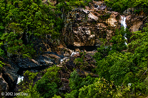
The first few days I spent on the east coast had me a little concerned. After enduring weeks of temperatures hovering around the 100F mark, I was now being drenched in constant downpours – although in much cooler temperatures. I camped at a few spots on my way north to Cooktown, including Paluma Range National Park, but the rain got a bit tiring, and the mosquitoes were extra intense. I did manage to get a few little hikes in to check out some waterfalls and swim in a swimming hole.
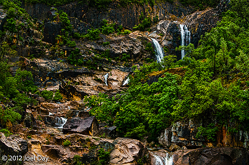
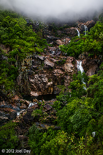
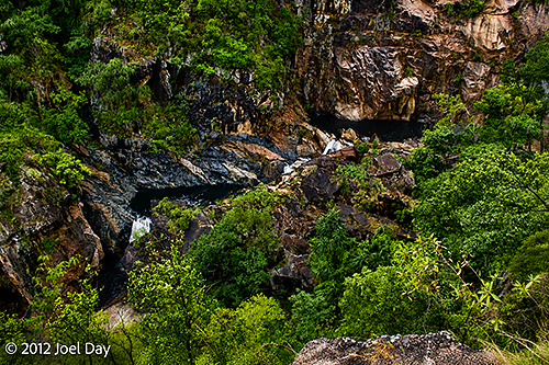
Paluma Range National Park Waterfall Hike
Map of the route “Mossie, Mossie, Mossie – Wet, Wet, Wet!”: 2,075 m, 106 m of climbing and 106 m of descent, elevation between 28 m and 104 m, time 00:36:22. It is a loop that starts and ends at -18.85988, 146.12752 (latitude, longitude).
Today’s Drive
Map of the route “Mossie, Mossie, Mossie – Wet, Wet, Wet!”: 264,706 m, 1,236 m of climbing and 1,229 m of descent, elevation between 4 m and 144 m, time 09:24:24. It starts at -19.43354, 146.94502 and ends at -18.98005, 146.25714 (latitude, longitude).
