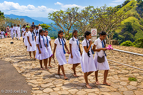
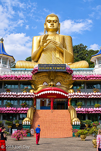
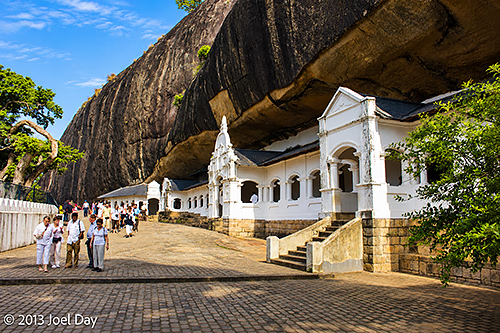
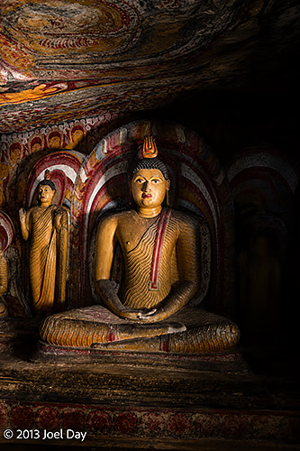
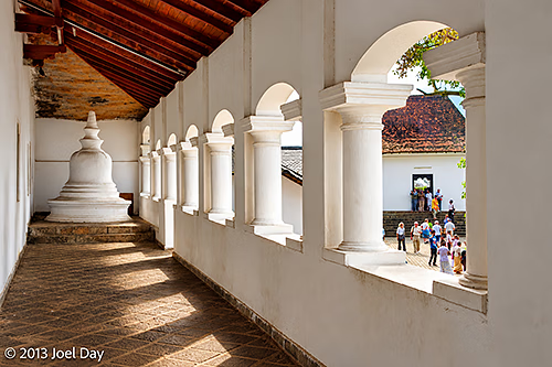
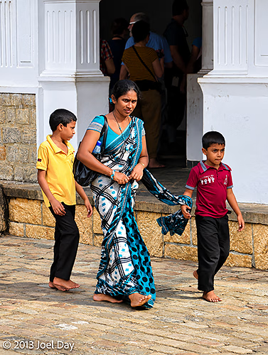
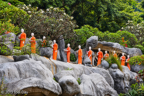
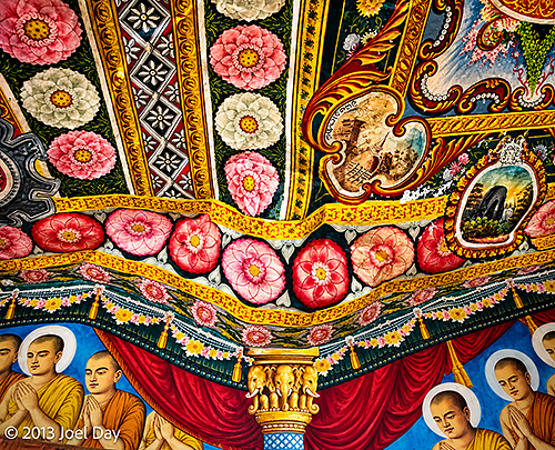
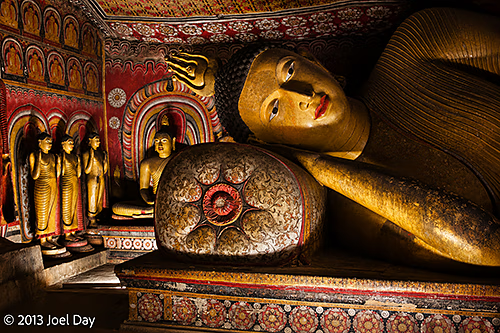
Made my way to Kandy today with several more stops at Buddhist and Hindu temples. They’re nice to see, but you do tend to get a bit ‘templed out’ after a while. Lots of Buddha statues sit prominently on mountain tops in the area. You can also find lots of Buddha statues and frescoes in caves. The first stop was the Dambulla Royal Cave Temple, where many school groups of children happened to be walking barefoot and making offerings.
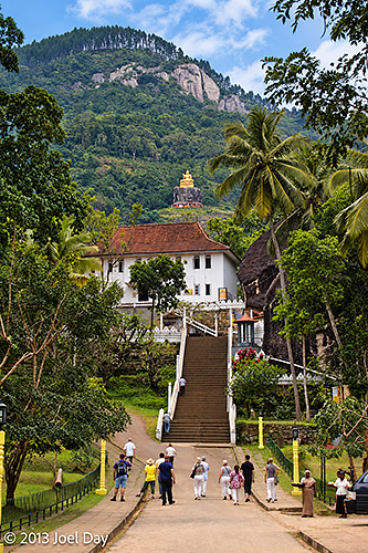
Buddhist Pilgrims Carrying Lotus Offerings, Dambulla Royal Cave Temple, Sri LankaGolden Buddha and Dragon Entrance, Golden Temple of Dambulla, Sri LankaCave Temple Entrance beneath the Rock Overhang, Dambulla Royal Cave Temple, Sri LankaSeated Buddha Statue and Cave Paintings, Dambulla Royal Cave Temple, Sri LankaDambulla Royal Cave Temple, Sri LankaBuddhist Pilgrims Visiting the Dambulla Royal Cave Temple, Sri LankaDambulla Royal Cave Temple, Sri LankaFloral Ceiling and Buddhist Murals, Dambulla Royal Cave Temple, Sri LankaReclining Buddha and Cave Paintings, Dambulla Royal Cave Temple, Sri LankaApproach to Aluvihare Rock Temple, Matale, Sri Lanka
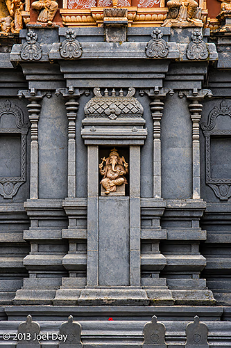
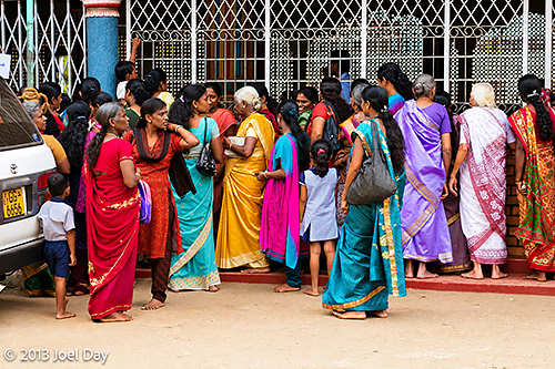
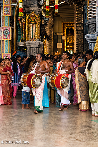
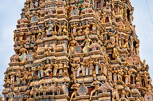
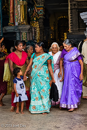
We also visited a Hindu temple in nearby Matale during a big celebration inside, which was interesting.
Detail of Sculpted Hindu Temple Gopuram, Matale, Sri LankaWorshippers during a Hindu Temple Ceremony, Matale, Sri LankaTemple Musicians during a Hindu Ceremony, Matale, Sri LankaSculpted Hindu Temple Gopuram, Matale, Sri LankaWorshippers during a Hindu Temple Ceremony, Matale, Sri Lanka
And today, being Friday, a Muslim holy day, we saw huge crowds of Muslims leaving their services on our way into Kandy.
My driver told me that about 32% of Sri Lanka is Buddhist, 12% Hindu, 12% Muslim, and all others, including Christian make up the remaining smaller percentages.
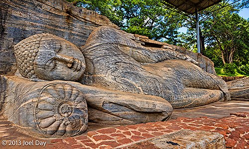
Reclining Buddha at Pidurangala Royal Cave Temple, near Sigiriya, Sri Lanka
Off on day two of my customised tour with James. Actually, his name is Francis. We headed 60 km west to see historic ruins from the 1100s. Before he started the car, he quietly performed a Buddhist prayer at the steering wheel.
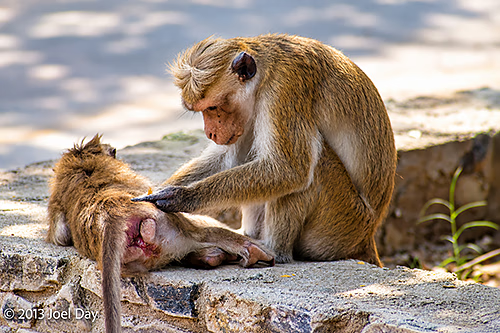
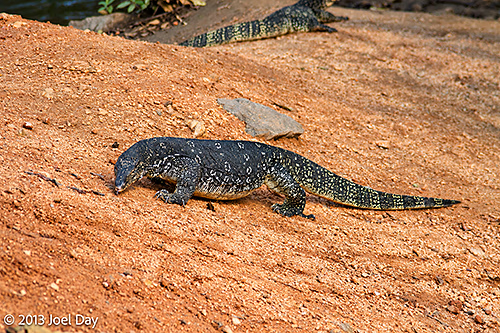
Toque Macaques (Macaca sinica) Grooming near Sigiriya Rock Fortress, Sri LankaSri Lankan Land Monitors (Varanus bengalensis) near Polonnaruwa, Sri Lanka
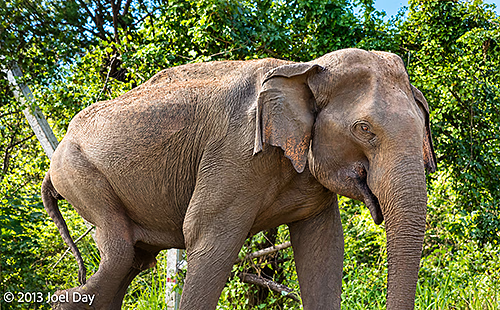
A very nice drive, with much less traffic than yesterday. We saw quite a few wild animals along the way, including 4 elephants (!) which he even said were very unusual. Elephants are generally nocturnal, so you are unlikely to see them during the day. They are also dangerous animals nobody wants to get too close to, so I kept my distance when photographing them. Some were huge; others were babies.
Elephant seen outside my car window in Sri LankaElephant seen outside my car window in Sri Lanka
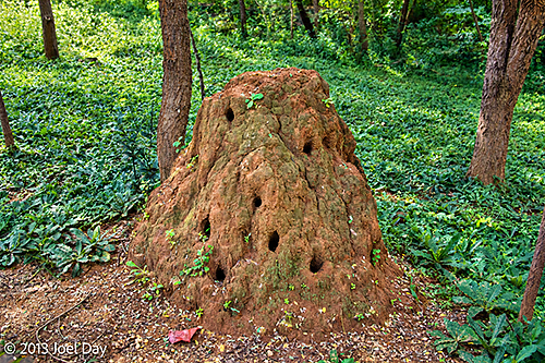
We also saw wild peacocks and evidence of many cobras. Cobras burrow into termite mounds to eat the insects, which is pretty amazing when you think about how tough termite mounds are.
Termite mound with large holes from Cobras burrowing into it to eat the insects in rural Sri Lanka
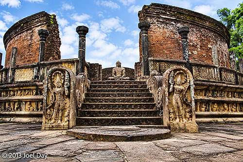
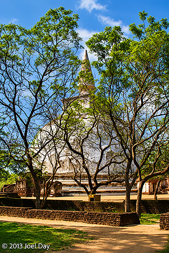
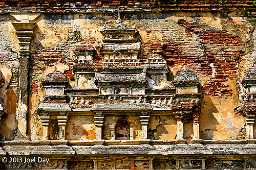
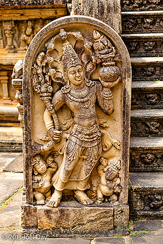
The historic Buddhist temples were very beautiful and reminded me of Sukhothai in Thailand (which was perhaps a little nicer, mainly because of a car-free district surrounding them and the close proximity of all the ruins). I spent some time wandering around Polonnaruwa Vatadage, an ancient structure dating back to the 12th century.
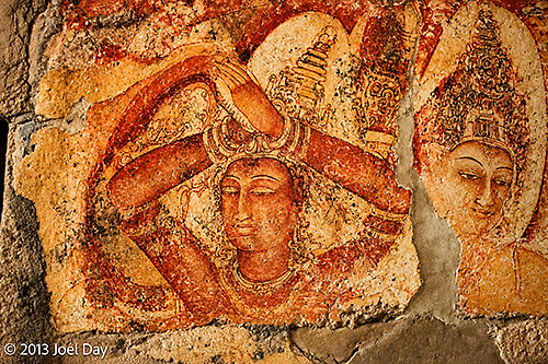
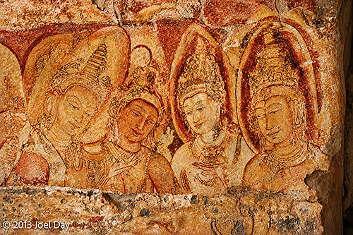
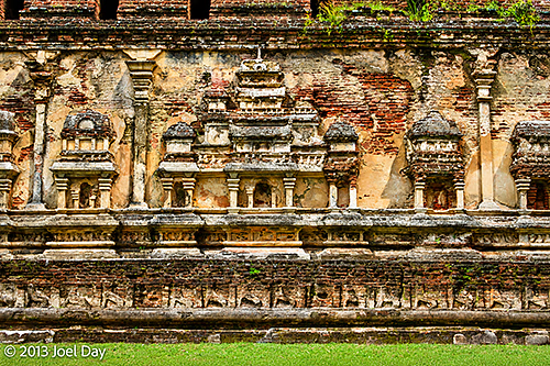
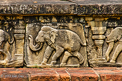
Ornately Carved Entrance to the Polonnaruwa Vatadage, Sri LankaKiri Vehera (Milk-White Stupa), Polonnaruwa, Sri LankaOrnate Shrine Carvings on Lankatilaka Image House, Polonnaruwa, Sri LankaCarved Guardian Stone (Muragala) at Polonnaruwa Vatadage, Sri LankaAncient Buddhist Wall Paintings, Tivanka Image House, Polonnaruwa, Sri LankaAncient Buddhist Wall Paintings, Tivanka Image House, Polonnaruwa, Sri Lanka
Either I’m much more used to hustlers these days, or Sri Lanka is pretty tame compared to other countries I’ve visited. They don’t seem to be too aggressive in their sales tactics at sites, but they do seem to mumble something under their breath when you turn them down. Cursing? Who knows what they’re saying…
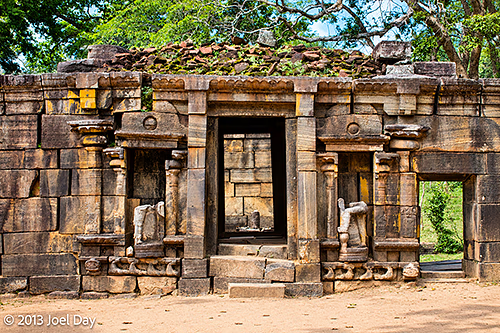
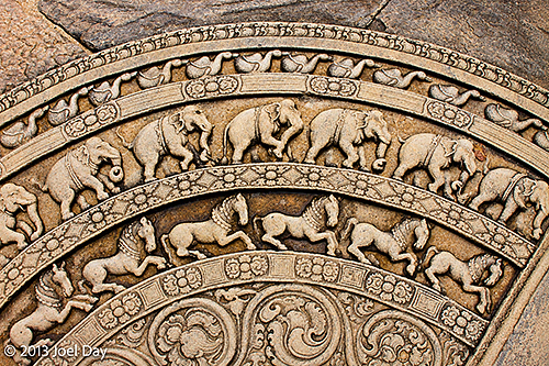
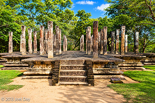
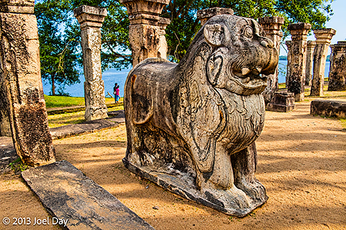
Ancient Stone Entrance to the Hatadage, Polonnaruwa, Sri LankaCarved Moonstone (Sandakada Pahana) at Polonnaruwa Vatadage, Sri LankaOrnate Shrine Carvings on Lankatilaka Image House, Polonnaruwa, Sri LankaRuins of King Parakramabahu’s Audience Hall, Polonnaruwa, Sri LankaCarved Moonstone (Sandakada Pahana) at Polonnaruwa Vatadage, Sri LankaStone Lion at the Royal Palace Ruins, Polonnaruwa, Sri Lanka
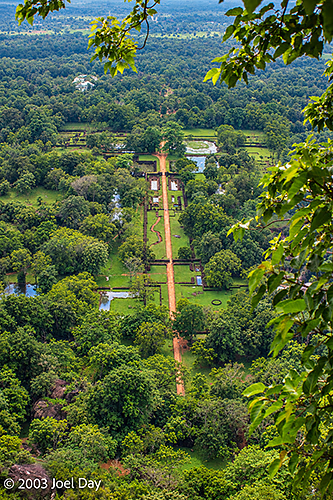
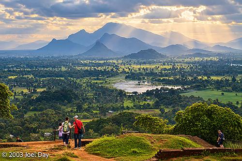
View from the top of Sigiriya Rock Fortress (Lion Rock), Sri Lanka
So my driver rocks up bright and early to start showing me around the island over the next seven days. I was told he spoke English and drove a good car. Well, he was quite old, his car was too, and his English was very poor. By lunchtime, I also realised that he appeared to be blind in one eye – but by then it was a bit late to do anything about it. The air-conditioning in the car seems practically nonexistent at times, but seems to kick in when he takes his foot off the gas.
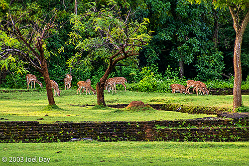
Spotted Deer (Chital, Axis axis) Grazing near Sigiriya Rock Fortress, Sri Lanka
That said, he seems like a good driver and a nice guy who’s eager to make sure I’m happy with his tour. His English seems okay when he has something tour-related to tell me, but if I ask him questions, he has a hard time understanding what I’m saying. After six hours of driving through mostly traffic jams, we finally arrived at a nice hotel spread out under a cool forest of rain trees, close to one of the sites I wanted to see. My tour fees include bed and breakfast, the driver and the car/fuel, but not the entrance fees to some of the sites.
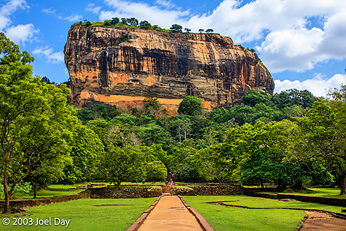
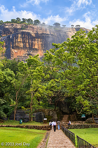
Sigiriya Rock Fortress (Lion Rock), Sri LankaSigiriya Rock Fortress (Lion Rock), Sri Lanka
Like many developing countries, Sri Lanka charges one inflated price for visitors and a much lower price for locals. I was initially a bit put off by the entrance price of Sigiriya Rock (about $25), but after visiting, I felt it was well worth it. A UNESCO World Heritage Site, Sigiriya Rock Fortress (Lion Rock) was an amazing old fort, built by an empire in the 5th century, which used this enormous rock to protect against enemies.
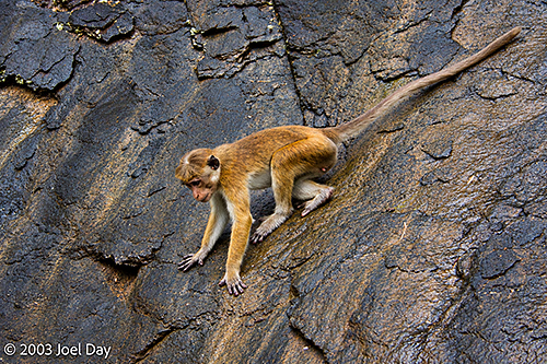
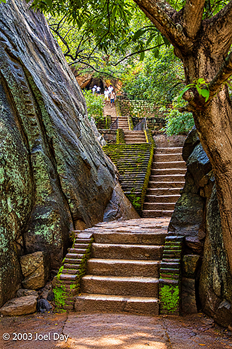
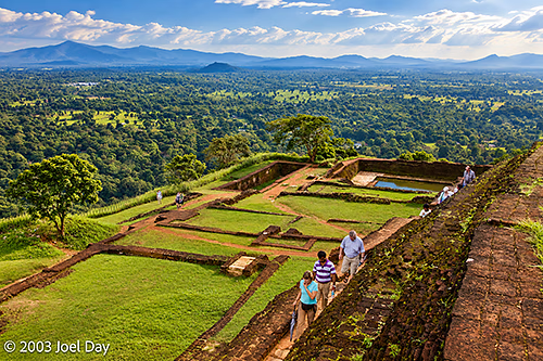
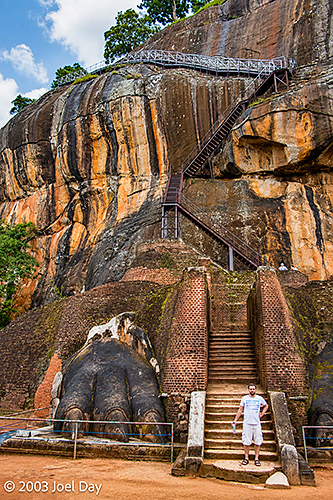
Toque Macaque (Macaca sinica) on a Rock Face near Sigiriya Rock Fortress, Sri LankaSteps at the base of Sigiriya Rock Fortress (Lion Rock), Sri LankaRuins of the 5th Century Royal Palace atop Sigiriya Rock Fortress, Sri LankaView from the top of Sigiriya Rock Fortress (Lion Rock), Sri Lanka
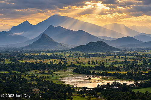
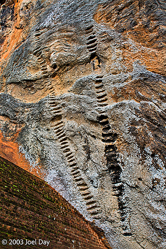
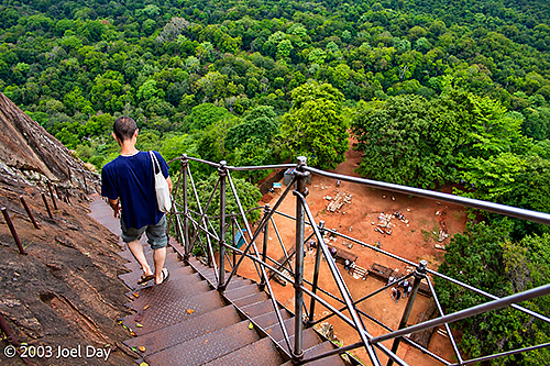
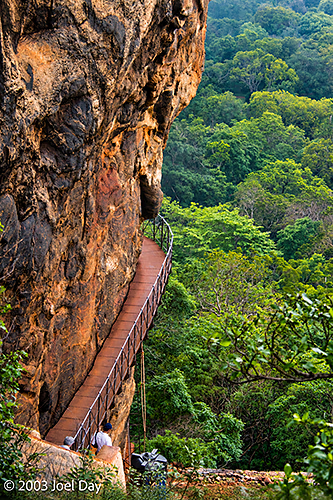
The ruins at the bottom are very cool to wander around, but the climb to the top, where the king kept his throne, was absolutely amazing. The stairs they built were scary enough for us to climb, but the ladders the original inhabitants used were baffling. Beautiful frescoes of Indian gods lined some caves on the way up, and the views of the lush countryside below were amazing, with mountains and lakes in the distance.
View from the top of Sigiriya Rock Fortress (Lion Rock), Sri LankaAncient Stairway Carvings on the Rock Face of Sigiriya Fortress, Sri LankaStaircase descending Sigiriya Rock Fortress (Lion Rock), Sri LankaWalkway around side of Sigiriya Rock Fortress (Lion Rock), Sri LankaView from the top of Sigiriya Rock Fortress (Lion Rock), Sri LankaStaircase descending Sigiriya Rock Fortress (Lion Rock), Sri Lanka
Sigiriya Rock Fortress Hike (with lots of GPS interference)
Map of the route “James”: 4,289 m, 103 m of climbing and 200 m of descent, elevation between 191 m and 352 m, time 01:19:11. It starts at 7.95662, 80.75911 and ends at 7.95538, 80.75753 (latitude, longitude).
Map of the route “20 Million in One Teardrop”: 2,908,603 m, 2,692 m of climbing and 2,393 m of descent, elevation between -56 m and 2,295 m, time 04:14:09. It starts at 1.35280, 103.99131 and ends at 7.17678, 79.88537 (latitude, longitude).
After a 2 am arrival at my hotel in Colombo, Sri Lanka, in which my driver had to repeatedly ring the doorbell to wake up the night watchman, I arose to find a nice buffet breakfast waiting for me downstairs as part of the deal. Afterwards I walked about a block and a half to a golden beach and walked up and down it past numerous cheap hotels, cafes, and restaurants. Plenty of stray dogs roamed around, and a train line ran through, with the widest-gauge tracks I’d ever seen.
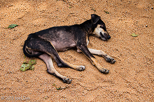
Stray dog sleeping in rural Sri Lanka
My plan for the day? Get some money changed over, inquire about tours, pop into the centre of town to see what there was to see and compare tour prices, and then return to the hotel. Simple enough, I thought. Well, the money changing, which is very simple and straightforward in Singapore (just rock up to a man behind some glass and fork over your dough for his dough), seemed very bureaucratic. There were numerous forms to fill in, passport requirements, and endless double-checking and running around between desks in the chaotic bank office. What would have taken seconds in Singapore took me hours in Colombo.
Next I tried to find out about tours through the head of my hotel, but her English was good; she kept telling me to tell her exactly what I wanted to see (when I was hoping for advice on what was worth seeing), and she was a bit cagey when I asked her about prices. She was also busy talking with others much of the time, so I finally gave up and decided to hop a tuk-tuk into the centre of town to see what other tours might be on offer.
The hotel recommended the tuk-tuk ride as the safest option for getting into town because of pickpockets, but the drive in was long and crazy. I felt like the ride was a long game of bumper cars – except you never actually hit anyone. Just constant near misses! At the end, the tuk-tuk driver ripped me off, shortchanging me by the equivalent of the entire trip (not much, but still). Welcome to Sri Lanka!
Colombo is busy, noisy, and full of crowded markets and chaotic traffic. Every time I ventured toward what looked like an interesting historical part of town, it turned out to be a high-security government office; security guards waved me away.
It seemed hard to find any information at all about touring the island. The most common way to see the island seems to be to hire a driver (for the price of renting a car) and have them chauffeur you around to all the big sites. I tried to walk all the way back to my hotel but gave up after about 15 km. When I tried to buy a soft drink to rehydrate, the shop owner insisted I drink it on the spot so he could keep the bottle. Perhaps he just sent it back to the bottling plant to be refilled, but it sounded a bit dodgy, so I declined.
My Exploration of Colombo and Hike Back to My Guesthouse
Map of the route “20 Million in One Teardrop”: 13,894 m, 109 m of climbing and 84 m of descent, elevation between 63 m and 104 m, time 02:48:20. It starts at 6.93436, 79.85162 and ends at 6.83913, 79.86538 (latitude, longitude).
Finally back at my hotel, I flipped through my Lonely Planet with my hotel manager and told her what I wanted to see. She said she would call her driver and get a quote. It all worked out in the end, but paying for the tour became a major nightmare due to the price – which wasn’t that bad by Western standards, but converted into Sri Lankan Rupees made it sound astronomical. ATMs wouldn’t pay out that much in a day, and I couldn’t find an American Express office to cash a check. Finally, after much scheming to pay for it, I noticed a Visa / MasterCard machine under their front desk – even though I had already specifically asked if they took any credit cards (No! They said). So, after a lot of headache running around about yet another issue, it was all easily resolved with a credit card.
On my last full day in Singapore, I endeavoured to check out a few places I had never been before. My flight to Sri Lanka wasn’t scheduled until 11 pm, but I had to check out of my hotel by noon. Fortunately, the hotel was happy to look after my bags while I hopped around town.
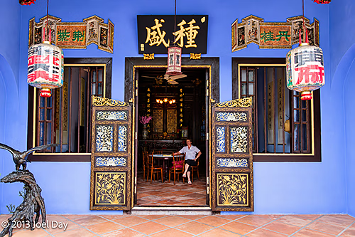
The first place I wanted to check out was a new old place. That is, an old historic home known as the Baba House, recently bequeathed to the National University of Singapore, restored and furnished to its 1920s splendour, and recently opened to the public by reservation only. I have long admired these old colonial-style homes from the outside, but it was really interesting to see what they were originally designed like on the inside. Unfortunately, I wasn’t permitted to take photographs inside.
Baba House Museum, Singapore
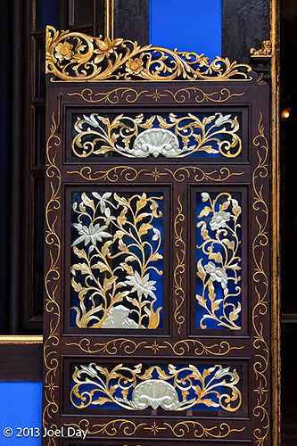
Lots of old teak floors, walls, and furnishings show influences from trading partners around the world, reflecting affluence. Among the surprises was an open area in the middle of the house for airflow in the tropics, probably 12 feet by 12 feet, with no ceiling or windows, so rain would pour into the house and drain out through the marble base at the bottom. The house also had several listening and spy holes built into the design so parents could keep tabs on who was trying to visit (including a spy hole in the floor of the master bedroom) or what children were talking about downstairs in the front room. A long line of Chinese descendants owned this house and ran a steam shipping company.
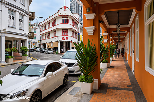
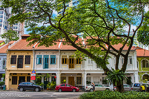
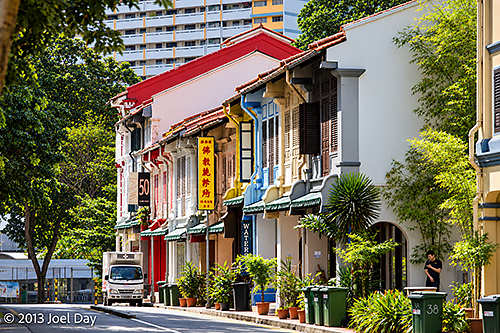
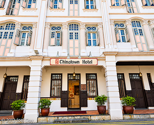
Baba House Museum, SingaporeHeritage Homes and Shophouses of Chinatown in Singapore
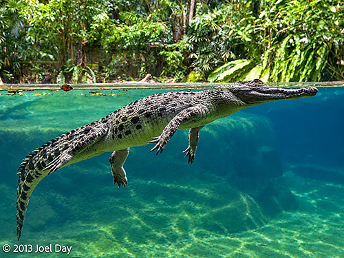
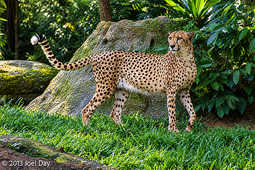
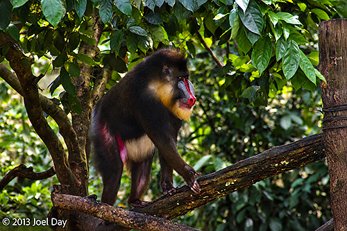
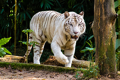
Afterwards, I made a crazy attempt to visit Singapore’s Zoo, which some consider one of the world’s best. Unfortunately, it isn’t on a subway line and requires a bus ride from a distant subway stop. The bus ride took much longer than I expected, so my visit was brief. Overall, I had about an hour to make a quick loop of the place. It sits on a small peninsula surrounded by water, right next door to another peninsula with an all-nocturnal zoo (which I visited several years ago). The zoo was very nice, with lots of lush green vegetation and animals roaming outside of cages that seemed to appreciate it.
I thought I’d seen pretty much everything in Singapore on previous visits, but in any place, the longer you stay, the more you discover.
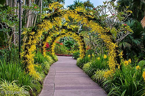
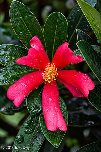
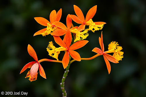
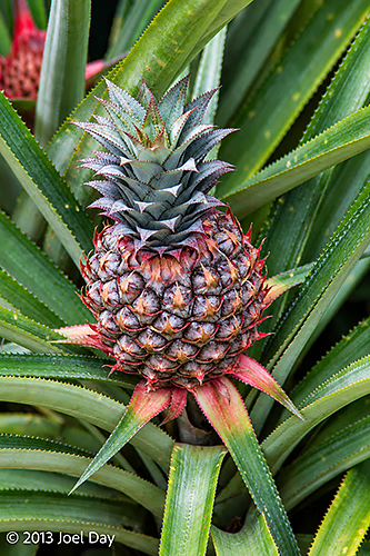
Singapore Botanic Gardens
Very early on Sunday morning I snuck out before dawn (which, frankly, is pretty late here on the equator – about 7:30 am) to revisit the free Singapore Botanic Gardens and Orchid Gardens. Singapore actually has three botanical gardens, including a new one that charges $28 to enter, so I opted for the free one. The one I went to was full of European joggers, dog walkers, and Western cruise ship tourists being herded around town on their typical frantic day of in-port sightseeing.
The park is very beautiful, but not much different from the flora I got used to hiking through in tropical Queensland. The Orchid Garden is world-renowned and quite special. They regularly name orchids after famous visitors and have a walk of fame, so to speak. There were orchids named after Margaret Thatcher, Nelson Mandela, and Laura Bush, among others.
Map of the route “It’s not green here by accident”: 5,779 m, 106 m of climbing and 126 m of descent, elevation between 21 m and 50 m, time 02:16:38. It starts at 1.31621, 103.81719 and ends at 1.32217, 103.81514 (latitude, longitude).
As I left the Botanical Gardens, it was just starting to sprinkle a bit as I headed down the escalator into the subway. By the time I got near my hotel, the sprinkle turned to light rain. By the time I got into my hotel room, it started to pour. And it poured and poured for most of the rest of the afternoon. Guess that’s the trade-off for living in the lush green tropics. Navigating the subways is quite easy and quick, but navigating the bus system here can be a bit more daunting. After a long wait for the rain to clear in my room, I started toying with the idea of catching a cab to a museum. I finally went downstairs to find a long line of people waiting for taxis, which obviously didn’t look promising. The subway was several blocks away, but I noticed a steady stream of buses running by the hotel and ventured out between stops to see where they were going. Fortunately, there was a map of the bus routes posted, and although it took me a little while to figure out how to read it, I eventually concluded that I should be able to get to the Asian Civilisations Museum fairly easily. I hopped on board and jumped off when I felt immersed in a museum district. It was still raining, and I had no umbrella, but fortunately I guessed right and found myself within a block of where I wanted to be.
Asian Civilisations Museum, Singapore, taken on an earlier visit
The Asian Civilisations Museum was in a big old colonial-style British government building that once housed a courtroom, jail, and offices. There were some interesting displays about Singapore’s history as a port and how the British and Dutch became involved in the area. There were depictions of migrant Chinese workers who were lured into opium use to ease their sore bodies from the hard port work, to the point of addiction, which cost them 2/3rds of their salaries. There were also displays of how various cultures in the area came to be there, how rice came to the islands, and special exhibitions from Thailand. Fortunately, after my visit, the rain stopped, and I was able to track down a subway easily after exploring the downtown waterfront a bit.
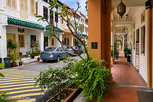
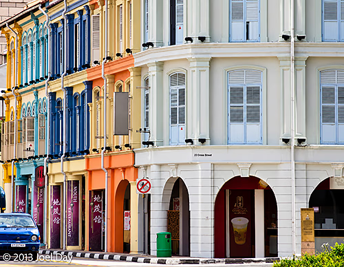
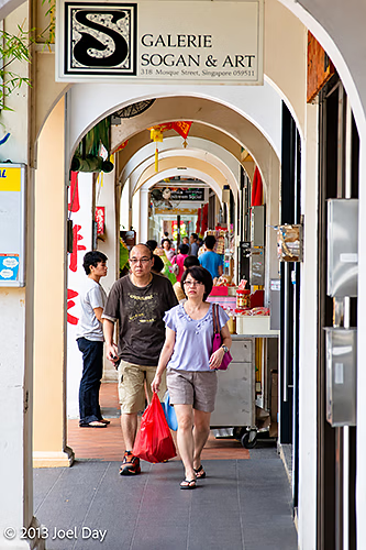
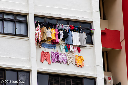
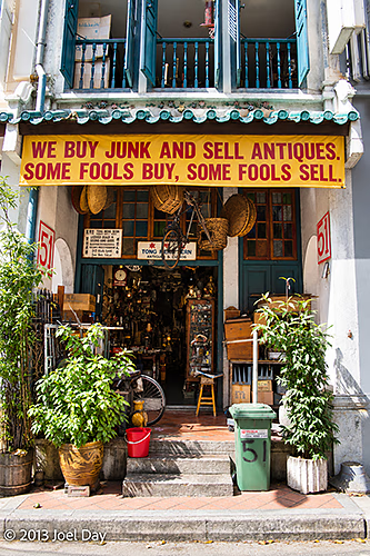
Heritage Shophouses of Chinatown in SingaporeCovered Shophouse ‘Five-Foot Way’ Walkway, Chinatown, SingaporeSingapore laundry dryingPawn Shop in Chinatown, Singapore
Heritage Shophouses and Modern Development in Singapore
Decided to head for Chinatown for a bit of a revisit around one of my favourite, most interesting and colourful places to photograph. It is a very cool part of town, full of old colonial-style buildings from the early 20th century with hints of high water, and very high curbs and sidewalks that run indented from the street, protected under the second floor of the buildings. It is a very photogenic area that I can spend hours snooping around.
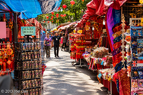
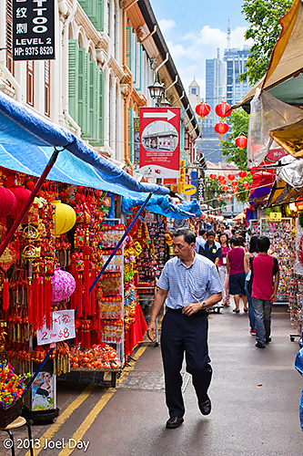
Chinese New Year street markets in SingaporeChinese New Year street markets in Singapore
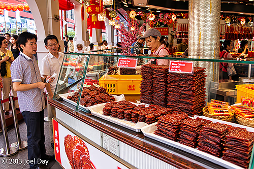
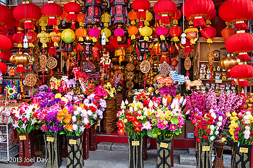
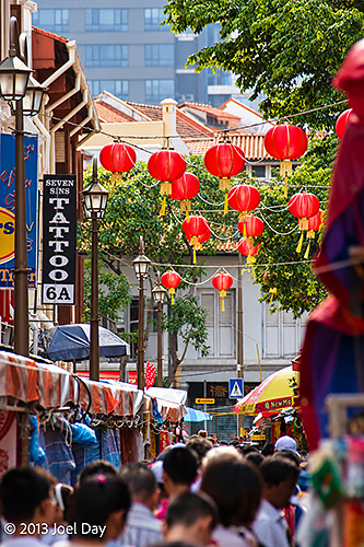
You could call it a touristy part of town, but if it is, 99.9% of those tourists are Chinese anyway, so it doesn’t feel all that touristy to me. Chinatown was getting all spruced up for the upcoming Chinese New Year with lots of hanging lanterns and special items for sale in the markets. Some shops also had ungodly long lines of Chinese consumers waiting their turn to purchase special pork dishes for the occasion.
Bak Kwa Stall, Chinatown, Singapore
Some of my work colleagues who travel to Southeast Asia regularly can be quick to dismiss Singapore for its lack of grittiness compared to places like Kuala Lumpur, but it does have quite a few things going for it. Singapore is one of the safest places to visit that I can think of, which is great for pulling out expensive cameras and lenses. We have had female Singaporean students tell us they feel perfectly safe catching subways home at 2 am all by themselves.
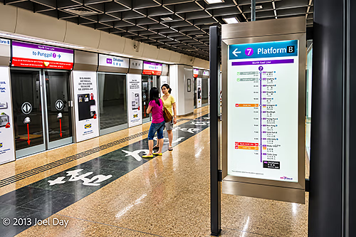
Mass Rapid Transit (MRT) in Singapore
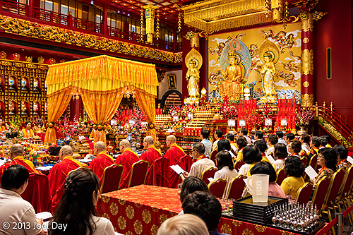
Singapore is also very friendly to tourists (in most cases). Nobody really seems to mind you shooting pictures on their streets or in their markets. One Buddhist temple usher even came out to insist I come inside to photograph the service they had running. There is also bare minimal targeting/harassing of tourists for sales gimmicks, unlike a lot of other Asian countries.
Buddhist Service, Buddha Tooth Relic Temple, Singapore.
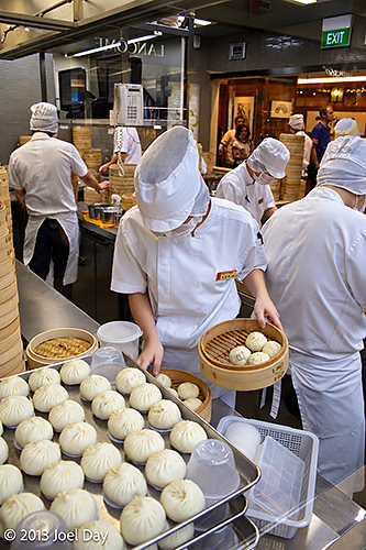
Singapore is also known for its great food. I’ve managed to already have 2 great Korean feeds and one nice Japanese feed at various markets and hawker huts. Singapore is mostly Chinese, but it also has substantial populations of Indians, Indonesians, Malaysians, and many other cultures (including a fair few expat Westerners), giving it a nice multicultural flavour. There are quite a few trendy bars and cafes these days. I even found a hip little coffee place upstairs in Chinatown called “Group Therapy” this morning that even knew how to make a proper flat white (which I haven’t been able to find anywhere else in Singapore).
Preparing Steamed Buns (Bao), Singapore
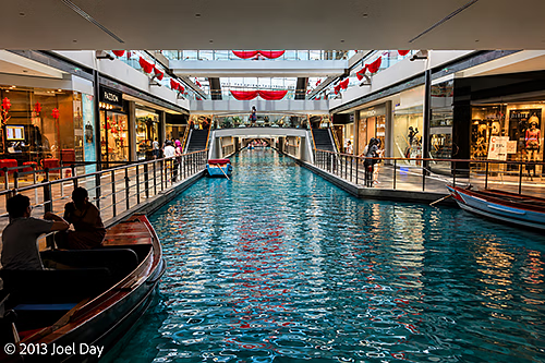
Singapore is a small place. A city-state that actually has a national park service (including one with wild monkeys), a wide range of sporting activities and facilities, and a proud tradition of volunteerism and community involvement – but probably a bit too much emphasis on shopping. There are endless shopping centres everywhere, and Singaporeans seem to have no interest in them, since they always seem packed.
Shopping Mall Amusements in Singapore
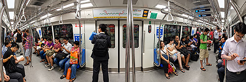
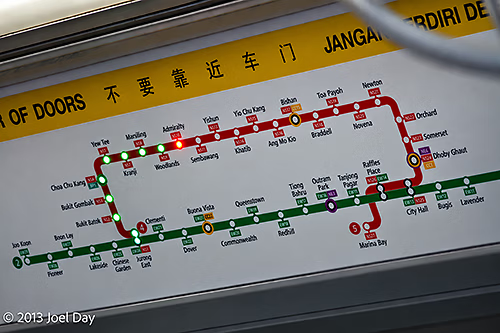
The subways are great and probably among the best in the world. I believe there are a few new lines here since the last time I visited. They are very clean, very safe, very frequent, run all over the island, and very easy to navigate, with high-tech onboard signage that shows your precise location relative to the rest of the rail network (an idea they stole from Hong Kong’s subway, I think).
Mass Rapid Transit (MRT) in SingaporeMass Rapid Transit (MRT) map illuminating location in subway car in Singapore
Arrived in Singapore bright and early Friday morning after catching a 2 am flight out of Perth. Thought I would catch the train to my hotel, only to realise halfway there that I should probably have just taken a cab. Negotiating the subway transfers with full travel luggage during rush hour in busy Singapore was probably a bit much. Fortunately, the hotel, across from a nice little district of colonial-style architecture shops, agreed to take my baggage straight away, even though I wasn’t supposed to check in until 3 pm.
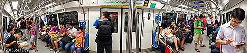
Mass Rapid Transit (MRT) in Singapore
I used to travel to Singapore about 3 times a year a decade ago for business, but I have not been back in years. Traipsing through my old haunts in my very jet-lagged state, I snooped around the Bugis and Orchard Road shopping districts trying to stay awake. Fortunately, I checked back with the hotel by noon, and they had a room available for me. I went straight to bed for a 3-hour nap, then headed out for dinner that evening. Probably the nicest hotel I’ve stayed in on my own dime.
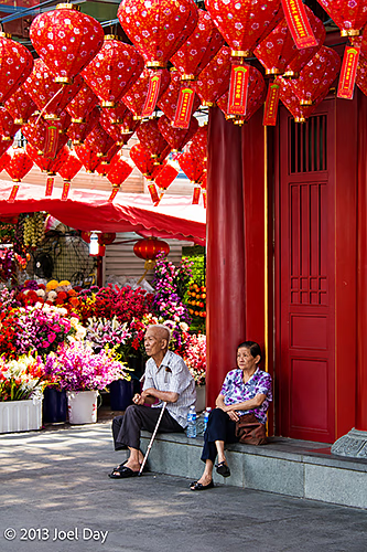
Chinese New Year shop display in SingaporeElderly couple on Singapore street
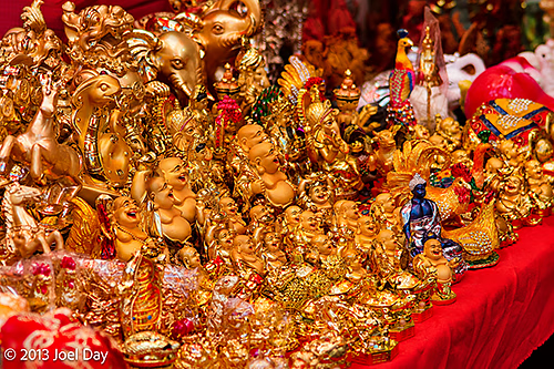
Looks like Singapore is getting ramped up for the next two big events: Chinese New Year and Valentine’s Day. Many Chinese markets had large piles of fireworks for sale, which I don’t think airlines would let me take out of the country. Valentine’s Day normally wouldn’t be worth mentioning, except that they had installed big, over-the-top purple light displays up and down the walkways along Orchard Road.
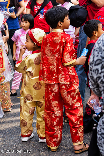
Children celebrating Chinese New Year in SingaporeChinese New Year shop display in SingaporeChinese New Year street markets in Singapore
Flight from Perth to Singapore
Map of the route “Meanwhile, back in the tropics…”: 3,949,910 m, 2,830 m of climbing and 2,465 m of descent, elevation between -15 m and 2,462 m, time 05:29:46. It starts at -31.93991, 115.97452 and ends at 1.34984, 103.98168 (latitude, longitude).
For my final day of driving in Australia, before I hop on the plane for the rest of my adventures, I decided to continue driving down the 4WD Balladonia Track towards Esperance for a quick visit to Cape Le Grande National Park and my favourite beaches in Australia. I wasn’t expecting the 4WD track to continue for as long as it did, but it was quite an exciting drive and passed through one of the largest forests of its kind in the world. I never saw a soul along the way, but I did come to one very old homestead built in 1890 with a hearth out front that was being lovingly restored and pretty cool to check out.
1890 Deralinya Homestead along the Balladonia Track near Esperance, Western Australia1890 Deralinya Homestead buildings along the Balladonia Track near Esperance, Western Australia1890 Deralinya Homestead hearth along the Balladonia Track near Esperance, Western Australia
While the Balladonia Track was a more direct route to Esperance from where I had camped, it was certainly much slower going for a while. As I continued down the track, the road continually improved and even became sealed/paved well before I intersected with Fisheries Road just outside of Esperance. I eventually made it down to Lucky Bay, where you will find the whitest sand in all of Australia, and partook in a bit of body surfing. I think Lucky Bay also has some of the best body surfing in Australia. Afterwards, I decided to try out a new exit from the park, driving the 22 km up Cape Le Grande Beach next door. I got advice from a park ranger who warned me what to look out for, but the trip was successful, and I made it to the end without any problems. I did witness someone in a 2-wheel-drive low-rider car with a girlfriend who appeared as though he might not have made the best choice in trying to drive on the beach (which normally has pretty hard sand), but he did have other people fishing nearby to help him out if he needed it. Not sure I would do the drive again, because you never really get to appreciate the gorgeous beach you’re driving along when you are constantly obsessed with soft, sandy bits that might bog your car down.
Afterwards, I popped into Esperance for a coffee and a rejig, and then hopped on the long road straight back to Perth. When I got to Raventhorpe, I met up with a big police sting operation tracking car speeds and breathalysing drivers. I was quick to point out that in the eastern states, we were no longer required to blow in a straw – only count to ten – which probably came across as being a bit cheeky. Usually one of my favourite drives back to Perth, it seemed a little drier and less beautiful than usual.
When I finally got to the outskirts of Perth, I met up with a few friends who were out on a mountain biking adventure over the weekend for some dinner in Armadale. Took the opportunity to scrub down my car while I was there.
Today’s Drive
Map of the route “A Final Bit of Body Surfing at Lucky Bay”: 1,006,044 m, 5,340 m of climbing and 5,479 m of descent, elevation between -13 m and 391 m, time 26:37:08. It starts at -32.60209, 123.61740 and ends at -32.11812, 116.01580 (latitude, longitude).
The Great Australian Bight along Eyre Highway, South Australia
Sometimes I think the Nullarbor, as much as people complain about crossing it, is one of the last undiscovered frontiers of Australia. There seem to be endless roads shooting off north and south of the Erye Highway to interesting places. There are spectacular cliffs along the southern edge of the continent and huge caves underneath. There are a number of bird- and whale-watching sanctuaries along the way as well. Other roads in the area lead to historical paths that once carried many more people. I found the road to Cook and followed it up to the Old Eyre Highway, which runs parallel to the current Eyre Highway, but chose not to follow it due to its roughness and remoteness.
Southern Ocean near eastern end of the Great Australian BightSouthern Ocean and beaches near eastern end of the Great Australian BightThe Great Australian Bight along Eyre Highway, South AustraliaThe Great Australian Bight along Eyre Highway, South Australia
Once you cross out of South Australia and into Western Australia, you descend from the plateau you’ve been driving on, so you continue your journey along the coastal flats rimmed by cliffs to the north. Eventually, you drive back up to the top of the plateau again to see spectacular views out across the coastal plane. Soon afterwards, you reach the ninety-mile straight, which is just what it sounds like – ninety straight miles of perfectly straight road. Not my favourite part of the drive, I must admit, because it can be quite trance-inducing.
Nullarbor Plain
During the drive in Western Australia, you come across a few signs about a mysterious timezone known as Central Western Time that nobody seems to recognise. The last time I drove across the Nullarbor, I dismissed it as some relic from another era, but this time, as I crossed into W.A, I had my GPS watch contact the satellites to adjust it to Perth time. Lo and behold, the GPS system actually recognised Central Western Time as legitimate and adjusted my watch accordingly! It is an odd time, 45 minutes earlier than Perth. When I drove past the signs and had my watch connect with the satellites again, it changed the time again to Perth time. Very odd since this time doesn’t seem to be recognised by anyone else. Most organisations just recognise one timezone for Western Australia. On the train, there was “train time”, but that was an hour off from Perth time.
By the time I got to Balladonia Roadhouse, I knew it was time for me to get off the highway for a night’s rest. Some friends had recommended travelling south down a 4WD track across the street, so I hopped on it and started looking for possible campsites far enough south of the Eyre Highway to not be within earshot. I did manage to find quite a few places, but chose a nice quiet one to settle in for a night of bush camping.
Today’s Drive
Map of the route “The Big Crossing”: 1,017,984 m, 2,560 m of climbing and 2,405 m of descent, elevation between -3 m and 192 m, time 25:13:45. It starts at -32.08682, 132.98325 and ends at -32.59577, 123.61773 (latitude, longitude).



You must be logged in to post a comment.